 www.geodatenkatalog.de (S3L)
Bebauungspläne und Satzungen der Stadt Meiningen und der beauftragenden Gemeinden
Der Datensatz enthält die Geltungsbereiche der Bebauungspläne und Satzungen der Stadt Meiningen und der beauftragenden Gemeinden mit Verlinkung auf die Planunterlagen. Es handelt sich um einen Sekundärdatenbestand.
Hinweis: Die im Datensatz verlinkten Unterlagen dienen lediglich als Vorinformation. Aus organisatorischen Gründen kann für die Vollständigkeit und Richtigkeit keine Gewähr übernommen werden. Rechtsverbindlich sind nur die Originaldokumente, die beim Urheber eingesehen werden können.
|
|
Citation proposal
. Bebauungspläne und Satzungen der Stadt Meiningen und der beauftragenden Gemeinden. https://gdk.gdi-de.org/geonetwork/srv/api/records/81a3a079-eb27-4e81-8261-116339b940e6 |
INSPIRE
Identification
- File identifier
- 81a3a079-eb27-4e81-8261-116339b940e6 XML
- Hierarchy level
- Dataset
Online resource
- Protocol
- OGC:WMS-http-get-map
- Protocol
- WWW:DOWNLOAD-1.0-http--download
Resource identifier
- Metadata language
- German
- Spatial representation type
- Vector
Encoding
- Format
- ESRI Shapefile
- Version
- 1.0
Projection
Classification of data and services
- Topic category
-
- Planning cadastre
Classification of data and services
Coupled resource
Coupled resource
Classification of data and services
Coupled resource
Coupled resource
Keywords
- GEMET - INSPIRE themes, version 1.0 ( Theme )
-
- Bodennutzung
Other keywords
- Keywords
-
- Rippershausen
- Sülzfeld
- Untermaßfeld
- Keywords
-
- Thüringen
- B-Plan
- Bauleitplanung
- Bebauungsplan
- einfacher B-Plan
- qualifizierter B-Plan
- Vorhabenbezogener B-Plan
- Vorhaben- und Erschließungsplan
- Entwicklungssatzung
- Ergänzungssatzung
- Klarstellungssatzung
- Satzungen
- Innenbereichssatzung
- Außenbereichssatzung
- Sanierungssatzung
- opendata
- GOVE
- REGI
Geographic coverage
N
S
E
W
))
Temporal reference
Temporal extent
Temporal extent
- Date ( Revision )
- 2024-04-02
Quality and validity
- Lineage
- Grundlage amtl. Flurkarte, BauGB
- Denominator
- 500
Conformity
Conformity
Conformity
Conformity
Conformity
Conformity
- Explanation
- Originäre Daten
- Explanation
- mit GDI_DE Testsuite validiert
- Explanation
- Originäre Daten
- Explanation
- Originäre Daten
Restrictions on access and use
- Access constraints
- Nutzungsbedingungen: Datenlizenz Deutschland-Namensnennung 2.0 in JSON Syntax
- Access constraints
- {"id": "dl-by-de/2.0", "name": "Datenlizenz Deutschland Namensnennung 2.0", "url": "https://www.govdata.de/dl-de/by-2-0 ", "quelle": "© GDI-Th"}
Restrictions on access and use
Responsible organization (s)
Contact for the resource
- Organisation name
- Stadt Meiningen und der beauftragenden Gemeinden
Responsible organization (s)
Contact for the resource
- Organisation name
- Stadt Meiningen und der beauftragenden Gemeinden
Metadata information
Contact for the metadata
- Organisation name
- Thüringer Landesamt für Bodenmanagement und Geoinformation
- zgd@tlbg.thueringen.de
- Date stamp
- 2024-04-03T09:12:12
- Metadata language
- German
- Character set
- UTF8
SDS
Conformance class 1: invocable
Access Point URL
Endpoint URL
Technical specification
Conformance class 2: interoperable
Coordinate reference system
Quality of Service
Access constraints
Limitation
Use constraints
Limitation
Responsible custodian
Contact for the resource
Conformance class 3: harmonized
Overviews
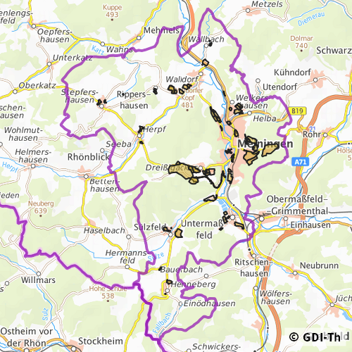
Vorschaubild
Provided by

Views
81a3a079-eb27-4e81-8261-116339b940e6
Access to the portal
Read here the full details and access to the data.
Associated resources
Not available