 www.geodatenkatalog.de (S2L)
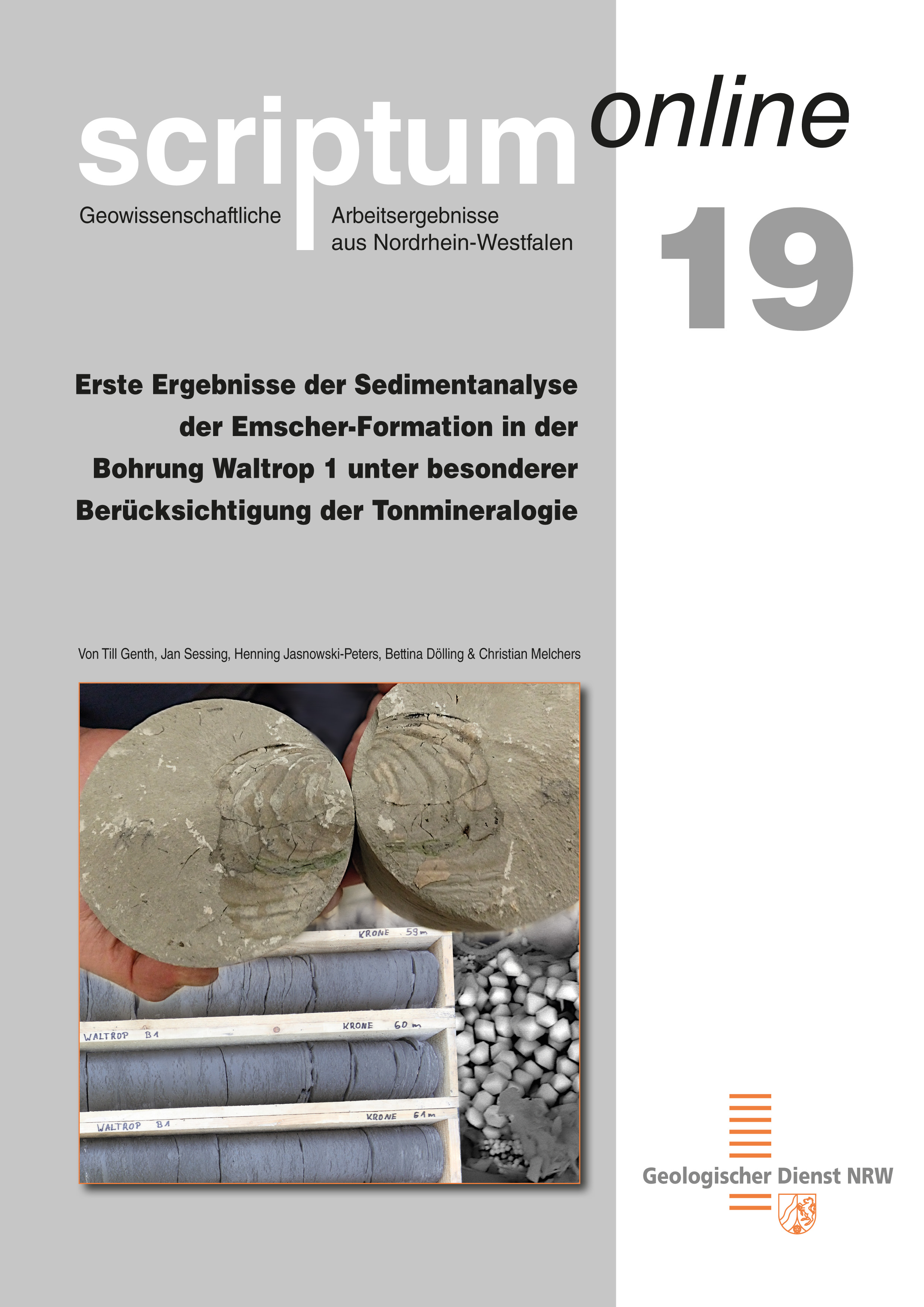
Erste Ergebnisse der Sedimentanalyse der Emscher-Formation in der Bohrung Waltrop 1 unter besonderer Berücksichtigung der Tonmineralogie
Der Bohrkernabschnitt 16 – 71 m der Bohrung Waltrop 1, am nordöstlichen Ortsausgang von Waltrop, wurde im Bereich der dort anstehenden Emscher-Formation (Obersantonium) lithologisch und geochemisch-mineralogisch untersucht. Im Fokus standen dabei die Ermittlung der Tongehalte und die detaillierte Analyse der Tonmineralogie mithilfe der Röntgendiffraktometrie unter Berücksichtigung des Anteils quellfähiger Tonminerale.
|
|
Citation proposal
(2021) . Erste Ergebnisse der Sedimentanalyse der Emscher-Formation in der Bohrung Waltrop 1 unter besonderer Berücksichtigung der Tonmineralogie. Geologischer Dienst NRW https://gdk.gdi-de.org/geonetwork/srv/api/records/863c4f49-487a-483e-be8d-767bacc8a518 |
INSPIRE
Identification
- File identifier
- 863c4f49-487a-483e-be8d-767bacc8a518 XML
- Hierarchy level
- Series
Online resource
Resource identifier
- Metadata language
- German
Encoding
- Format
- Version
- n.a.
Projection
Classification of data and services
- Topic category
-
- Geoscientific information
Classification of data and services
Coupled resource
Coupled resource
Classification of data and services
Coupled resource
Coupled resource
Keywords
- - ( Discipline )
-
- scriptum
- scriptumonline
- OGDD-Kategorien
-
- geo
Other keywords
- Keywords
-
- opendata
- Keywords ( Discipline )
-
- Geologie
- Kreide
- Nordrhein-Westfalen
- Münsterland
- Emscher-Formation
- Lithologie
- Karbonatgehalt
- Tonmineralogie
- Röntgendiffraktometrie
Geographic coverage
N
S
E
W
))
Temporal reference
Temporal extent
Temporal extent
- Date ( Publication )
- 2021-01-12
Quality and validity
- Lineage
- Lagerstätten Kartierung
Conformity
Conformity
Conformity
Conformity
Conformity
Conformity
Restrictions on access and use
- Access constraints
- OpenData
- Access constraints
- Nutzungsbedingungen: Dieser Datensatz kann gemäß der „Datenlizenz Deutschland Namensnennung 2.0“ (https://www.govdata.de/dl-de/by-2-0) genutzt werden.
- Access constraints
- {"id": "dl-by-de/2.0","name": "Datenlizenz Deutschland Namensnennung 2.0","url": "https://www.govdata.de/dl-de/by-2-0","quelle": "© Scriptumonline-19_2021-01, Geologischer Dienst NRW, Abrufdatum"}
Restrictions on access and use
Responsible organization (s)
Contact for the resource
- Organisation name
- Geologischer Dienst NRW
- poststelle@gd.nrw.de
Responsible organization (s)
Contact for the resource
- Organisation name
- Geologischer Dienst NRW
- poststelle@gd.nrw.de
Metadata information
Contact for the metadata
- Organisation name
- Geologischer Dienst NRW
- metadaten@gd.nrw.de
- Date stamp
- 2021-01-17
- Metadata language
- German
- Character set
- UTF8
SDS
Conformance class 1: invocable
Access Point URL
Endpoint URL
Technical specification
Conformance class 2: interoperable
Coordinate reference system
Quality of Service
Access constraints
Limitation
Use constraints
Limitation
Responsible custodian
Contact for the resource
Conformance class 3: harmonized
Overviews
Titelbild der Veröffentlichung
Provided by

Views
863c4f49-487a-483e-be8d-767bacc8a518
Access to the portal
Read here the full details and access to the data.
Associated resources
Not available