 www.geodatenkatalog.de (S1L)
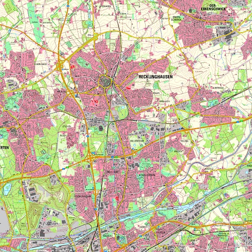
Topographische Karten DTK 25
Die DTK 25 ist eine (digitale) topographische Karte im Maßstab 1 : 25 000. Sie wird weitgehend automatisiert aus den Daten des Digitalen Landschaftsmodells NRW und weiteren amtlichen Quellen abgeleitet. Die Karte wird sowohl in Farbe als auch in Schwarz-Weiß bereitgestellt. Die Topographie der Erdoberfläche wird mit hoher Lagegenauigkeit detailreich wiedergegeben. Darstellung in Farbe und Schwarz / Weiß.
Die Karten werden als Web-Map-Service (Land NRW) eingebunden.
|
|
Citation proposal
. Topographische Karten DTK 25. https://gdk.gdi-de.org/geonetwork/srv/api/records/88b64b1b-2328-40da-af7c-e622412502f7 |
INSPIRE
Identification
- File identifier
- 88b64b1b-2328-40da-af7c-e622412502f7 XML
- Hierarchy level
- Dataset
Online resource
Resource identifier
- Metadata language
- German
- Spatial representation type
- TIN
Encoding
- Format
- Version
Projection
Classification of data and services
- Topic category
-
- Imagery base maps earth cover
Classification of data and services
Coupled resource
Coupled resource
Classification of data and services
Coupled resource
Coupled resource
Keywords
Other keywords
- Keywords ( Theme )
-
- Karte
- Kartographie
- Flächennutzung
- Geographisches Informationssystem
- opendata
- REGI
Geographic coverage
N
S
E
W
))
Temporal reference
Temporal extent
Temporal extent
- Date ( Creation )
- 2018-08-06
- Date ( Revision )
- 2023-07-19
Quality and validity
Conformity
Conformity
Conformity
Conformity
Conformity
Conformity
Restrictions on access and use
- Access constraints
- Nutzungsbedingungen: Datenlizenz Deutschland Zero 2.0
- Access constraints
- {"id": "dl-zero-de/2.0", "name": "Datenlizenz Deutschland Zero 2.0", "url": "https://www.govdata.de/dl-de/zero-2-0", "quelle": "Quelle: © https://www.opengeodata.nrw.de/produkte/geobasis/tk/akt/tk25/dtk25_farbe_tiff/ "}
Restrictions on access and use
Responsible organization (s)
Contact for the resource
- Organisation name
- FB Ingenieurwesen (62.12)
Responsible organization (s)
Contact for the resource
- Organisation name
- FB Ingenieurwesen (62.12)
Metadata information
Contact for the metadata
- Organisation name
- FB Ingenieurwesen (62.12)
- Date stamp
- 2024-11-13
- Metadata language
- German
SDS
Conformance class 1: invocable
Access Point URL
Endpoint URL
Technical specification
Conformance class 2: interoperable
Coordinate reference system
Quality of Service
Access constraints
Limitation
Use constraints
Limitation
Responsible custodian
Contact for the resource
Conformance class 3: harmonized
Overviews
thumbnail
Provided by

Views
88b64b1b-2328-40da-af7c-e622412502f7
Access to the portal
Read here the full details and access to the data.
Associated resources
Not available