 My GeoNetwork catalogue
WFS Dienst der Geltungsbereiche der Bebauungspläne der Stadt Villingen-Schwenningen
Der Download-Dienst bietet eine Zugriffsmöglichkeit auf die Geltungsbereiche der rechtskräftigen Bebauungspläne der Stadt Villingen-Schwenningen. Als Attribute sind neben den Informationen zum Namen, Nummer, Inkrafttretungsdatum, … auch der WMS-Dienst Link etc. hinterlegt. Zusätzliche Informationen findet man in der Bebauungsplan-App der Stadt
INSPIRE
Identification
- File identifier
- 96bdd3e7-a68e-4d73-8887-cbb606a7bb99 XML
- Hierarchy level
- Service
Online resource
- Protocol
-
WWW:LINK-1.0-http--link
- Protocol
-
WWW:LINK-1.0-http--link
Resource identifier
Encoding
- Format
-
ESRI Shapefile
- Version
-
1.0
Projection
- code
-
ETRS / UTM 32N: EPSG: 25832
- code
-
EPSG:4326
Classification of data and services
- Service Type
- download
- Coupling Type
- Tight
Coupled resource
Coupled resource
Classification of data and services
- Service Type
- download
- Coupling Type
- Tight
Coupled resource
Coupled resource
Keywords
-
GEMET - INSPIRE themes, version 1.0
-
-
Bodennutzung
-
Other keywords
- Theme
-
-
Dienst für den Zugriff auf Objekte
-
Bauleitplan
-
Web Feature Service
-
Bebauung
-
Villingen-Schwenningen
-
- Keywords
-
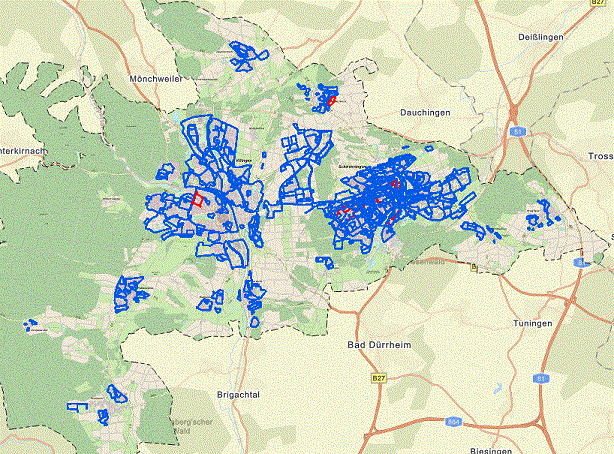
Geographic coverage
))
Temporal reference
Temporal extent
Temporal extent
- Date (Publication)
- 2022-12-22T12:00:00
Conformity
Conformity
Conformity
Conformity
Conformity
Conformity
- Explanation
-
siehe Spezifikation
Restrictions on access and use
- Access constraints
- Es gelten keine Zugriffsbeschränkungen
- Access constraints
-
Nutzungsbedingungen: Es gelten die Lizenzbedingungen "Datenlizenz Deutschland – Namensnennung – Version 2.0" ( https://www.govdata.de/dl-de/by-2-0 ) mit folgender Quellenangabe: "Datengrundlage: Stadt Villingen-Schwenningen.de."
- Access constraints
-
{"id": "dl-by-de/2.0", "name": "Datenlizenz Deutschland Namensnennung 2.0", "url": " https://www.govdata.de/dl-de/by-2-0 ", "quelle": "Datengrundlage: Stadt Villingen-Schwenningen.de."}
Responsible organization (s)
Contact for the resource
- Organisation name
-
Stadt Villingen-Schwenningen - Stadtplanungsamt
Responsible organization (s)
Contact for the resource
- Organisation name
-
Stadt Villingen-Schwenningen - Stadtplanungsamt
Metadata information
Contact for the metadata
- Organisation name
-
Stadt Villingen-Schwenningen - Vermessungsamt
- Date stamp
- 2025-12-18T14:55:23.517Z
SDS
Conformance class 1: invocable
- Pass
- No
Access Point URL
Endpoint URL
Technical specification
- Date
- Explanation
-
siehe Spezifikation
Conformance class 2: interoperable
Access constraints
- Use limitation
-
Nutzungsbedingungen: Es gelten keine Bedingungen
- Access constraints
- Other restrictions
- Use constraints
- License
- Other constraints
- Es gelten keine Zugriffsbeschränkungen
- Other constraints
-
Nutzungsbedingungen: Es gelten die Lizenzbedingungen "Datenlizenz Deutschland – Namensnennung – Version 2.0" ( https://www.govdata.de/dl-de/by-2-0 ) mit folgender Quellenangabe: "Datengrundlage: Stadt Villingen-Schwenningen.de."
- Other constraints
-
{"id": "dl-by-de/2.0", "name": "Datenlizenz Deutschland Namensnennung 2.0", "url": " https://www.govdata.de/dl-de/by-2-0 ", "quelle": "Datengrundlage: Stadt Villingen-Schwenningen.de."}
Limitation
- string
- Es gelten keine Zugriffsbeschränkungen
- string
-
Nutzungsbedingungen: Es gelten die Lizenzbedingungen "Datenlizenz Deutschland – Namensnennung – Version 2.0" ( https://www.govdata.de/dl-de/by-2-0 ) mit folgender Quellenangabe: "Datengrundlage: Stadt Villingen-Schwenningen.de."
- string
-
{"id": "dl-by-de/2.0", "name": "Datenlizenz Deutschland Namensnennung 2.0", "url": " https://www.govdata.de/dl-de/by-2-0 ", "quelle": "Datengrundlage: Stadt Villingen-Schwenningen.de."}
Use constraints
- Use limitation
-
Nutzungsbedingungen: Es gelten keine Bedingungen
- Access constraints
- Other restrictions
- Use constraints
- License
- Other constraints
- Es gelten keine Zugriffsbeschränkungen
- Other constraints
-
Nutzungsbedingungen: Es gelten die Lizenzbedingungen "Datenlizenz Deutschland – Namensnennung – Version 2.0" ( https://www.govdata.de/dl-de/by-2-0 ) mit folgender Quellenangabe: "Datengrundlage: Stadt Villingen-Schwenningen.de."
- Other constraints
-
{"id": "dl-by-de/2.0", "name": "Datenlizenz Deutschland Namensnennung 2.0", "url": " https://www.govdata.de/dl-de/by-2-0 ", "quelle": "Datengrundlage: Stadt Villingen-Schwenningen.de."}
Limitation
- string
- Es gelten keine Zugriffsbeschränkungen
- string
-
Nutzungsbedingungen: Es gelten die Lizenzbedingungen "Datenlizenz Deutschland – Namensnennung – Version 2.0" ( https://www.govdata.de/dl-de/by-2-0 ) mit folgender Quellenangabe: "Datengrundlage: Stadt Villingen-Schwenningen.de."
- string
-
{"id": "dl-by-de/2.0", "name": "Datenlizenz Deutschland Namensnennung 2.0", "url": " https://www.govdata.de/dl-de/by-2-0 ", "quelle": "Datengrundlage: Stadt Villingen-Schwenningen.de."}
Responsible custodian
Contact for the resource
Conformance class 3: harmonized
Contains Operations
- Operation Name
-
GetMap
- Distributed Computing Platforms
- CORBA
- Operation Description
-
Diese Anfrage liefert ein georeferenziertes Rasterbild (Karte) vom WMS zurück. Innerhalb der Anfrage können u.a. Optionen über die gewünschten Kartenlayer, die gewünschte Darstellung der Layer, dem zugrundeliegenden Koordinatenreferenzsystem, dem Kartenausschnitt, der Größe der Kartenausgabe und dem Ausgabeformat gemacht werden.
Overviews
Spatial extent
Provided by
