 www.geodatenkatalog.de (S1L)
WFS Geographische Namen GN-DE (vollständige Modellierung)
Dieser Downloaddienst dient zur Suche Geographischer Namen Deutschlands in komplexer Datenmodellierung.
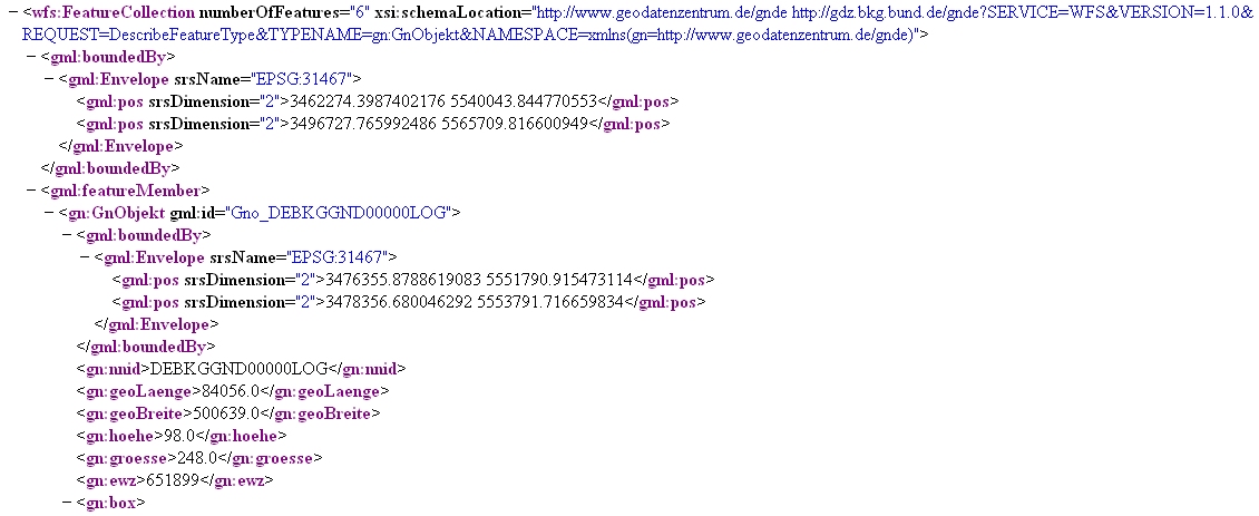
Der Datensatz GN-DE beinhaltet im Wesentlichen alle mit Namen bezeichneten geographischen Objekte Deutschlands, die in dem Digitalen Landschaftsmodell 1:250 000 des ATKIS enthalten sind bzw. in topographischen Karten des Maßstabsbereichs 1:200 000 und kleiner dargestellt werden.
Hauptobjekte sind Orte und Ortsteile, Verwaltungsgebiete (z.B. Kreise, Gemeinden), Landschaften, Gebirge, Inseln, Berge, Flüsse, Kanäle, Seen, Meere und ähnliches. Die dazugehörigen Attribute sind Namen, administrative Gliederung (statistische Schlüsselzahl), Höhe, Flusssystem (gewässerkundliche Gebietskennzahl) und naturräumliche Haupteinheit (Leitzahl).
Auch für die Postleitzahlgebiete liegen die vollständigen Flächenbeschreibungen vor.
Die Lage der Objekte wird jeweils als Punktgeometrie über eine einzelne Koordinate und über kleinste umschreibende Rechtecke (Bounding Boxes) beschrieben.
Der Dienst wird ausschließlich Bundesbehörden zur Verfügung gestellt.
|
|
Citation proposal
. WFS Geographische Namen GN-DE (vollständige Modellierung). https://gdk.gdi-de.org/geonetwork/srv/api/records/9B9F3942-095C-48AF-8590-7F861C5BA12D |
INSPIRE
Identification
- File identifier
- 9B9F3942-095C-48AF-8590-7F861C5BA12D XML
- Hierarchy level
- service Service
Online resource
Resource identifier
Encoding
- Format
- GML
- Version
- 2.1.2
- Format
- GML
- Version
- 3.0
- Format
- GML
- Version
- 3.1.1
- Format
- GML
- Version
- 3.2.1
Projection
Classification of data and services
Classification of data and services
- Service Type
- download
- Coupling Type
- Tight
Coupled resource
Coupled resource
Classification of data and services
- Service Type
- download
- Coupling Type
- Tight
Coupled resource
Coupled resource
Keywords
- Service Classification, version 1.0 ( Theme )
-
- infoFeatureAccessService
Other keywords
- Keywords
-
- WFS
- BKG
- Deutschland
- Geonames
- Geographical Names
- GN-DE
- Geographische Namen
- DownloadService
- infoFeatureAccessService
- Bundesamt für Kartographie und Geodäsie
Geographic coverage
))
Temporal reference
Temporal extent
Temporal extent
- Date ( Creation )
- 2011-06-28T00:00:00.000+02:00
Quality and validity
Conformity
Conformity
Conformity
Conformity
Conformity
Conformity
- Explanation
- see the referenced specification
Restrictions on access and use
Restrictions on access and use
- Access constraints
- Der Online-Dienst ist lizenzpflichtig
- Access constraints
- Die Daten sind urheberrechtlich geschützt. Auf Grundlage des Vertrages mit dem Datenanbieter werden die Daten je nach vertraglicher Ausgestaltung allen oder ausgewählten Bundesbehörden und weiteren Nutzungsberechtigten im Sinne des § 4 V GeoBund geldleistungsfrei zur Verfügung gestellt. Der Quellenvermerk ist zu beachten.
- Access constraints
- Quellenvermerk: © GeoBasis-DE / BKG, Statistisches Bundesamt (Destatis) [Jahr], Deutsche Post Direkt GmbH
Responsible organization (s)
Contact for the resource
- Organisation name
- Bundesamt für Kartographie und Geodäsie (BKG)
- mailbox@bkg.bund.de
- Organisation name
- Bundesamt für Kartographie und Geodäsie (BKG)
- dlz@bkg.bund.de
Responsible organization (s)
Contact for the resource
- Organisation name
- Bundesamt für Kartographie und Geodäsie (BKG)
- mailbox@bkg.bund.de
- Organisation name
- Bundesamt für Kartographie und Geodäsie (BKG)
- dlz@bkg.bund.de
Metadata information
Contact for the metadata
- Organisation name
- Bundesamt für Kartographie und Geodäsie (BKG)
- dlz@bkg.bund.de
- Date stamp
- 2025-03-10
- Metadata language
- German
SDS
Conformance class 1: invocable
- Pass
- true
Access Point URL
Endpoint URL
Technical specification
- Date
- Explanation
- see the referenced specification
Conformance class 2: interoperable
Coordinate reference system
Quality of Service
Access constraints
Limitation
- string
- Der Online-Dienst ist lizenzpflichtig
Use constraints
Limitation
- string
- Die Daten sind urheberrechtlich geschützt. Auf Grundlage des Vertrages mit dem Datenanbieter werden die Daten je nach vertraglicher Ausgestaltung allen oder ausgewählten Bundesbehörden und weiteren Nutzungsberechtigten im Sinne des § 4 V GeoBund geldleistungsfrei zur Verfügung gestellt. Der Quellenvermerk ist zu beachten.
- string
- Quellenvermerk: © GeoBasis-DE / BKG, Statistisches Bundesamt (Destatis) [Jahr], Deutsche Post Direkt GmbH
Responsible custodian
Contact for the resource
Conformance class 3: harmonized
Contains Operations
- Operation Name
- GetCapabilities
- Distributed Computing Platforms
- HTTPGet
- Distributed Computing Platforms
- HTTPPost
Parameter
- Name
- Description
- Request version
- Optionality
- 1
- Repeatability
- false
- Name
Parameter
- Name
- Description
- Service type
- Optionality
- 0
- Repeatability
- false
- Name
Parameter
- Name
- Description
- Sequence number or string for cache control
- Optionality
- 1
- Repeatability
- false
- Name
Parameter
- Name
- Description
- Name of request
- Optionality
- 0
- Repeatability
- false
- Name
- Connect Point
- https://sg.geodatenzentrum.de/wfs_gnde_full?
Contains Operations
- Operation Name
- DescribeFeatureType
- Distributed Computing Platforms
- HTTPGet
- Distributed Computing Platforms
- HTTPPost
- Invocation Name
- DescribeFeatureType
Parameter
- Name
- Description
- Name of request
- Optionality
- 0
- Repeatability
- false
- Name
Parameter
- Name
- Description
- A comma separated list of feature types to describe. If no value is specified that is to be interpreted as all feature types
- Optionality
- 1
- Repeatability
- false
- Name
Parameter
- Name
- Description
- The output format to use to describe feature types. text/xml; subtype=gml/3.1.1 must be supported. Other output formats, such as DTD are possible
- Optionality
- 1
- Repeatability
- false
- Name
- Connect Point
- https://sg.geodatenzentrum.de/wfs_gnde_full?
Contains Operations
- Operation Name
- GetFeature
- Distributed Computing Platforms
- HTTPGet
- Distributed Computing Platforms
- HTTPPost
- Invocation Name
- GetFeature
Parameter
- Name
- Description
- The value hits indicates that a web feature service should process the GetFeature request and rather than return the entire result set, it should simply indicate the number of feature instance of the requested feature type(s) that satisfy the request. That is that the count should only include instances of feature types specified in the typeName attribute (i.e. GetFeature/Query/@typeName ). The exact way in which the feature count is conveyed to a client application is described in clause 9.3
- Optionality
- 1
- Repeatability
- false
- Name
Parameter
- Name
- Description
- This value is kept for backward compatability and indicates that an XML instance document must be generated that validates against a GML2 application schema
- Optionality
- 1
- Repeatability
- false
- Name
Parameter
- Name
- Description
- Same as GML2
- Optionality
- 1
- Repeatability
- false
- Name
Parameter
- Name
- Description
- The default value results indicates that a web feature service should generate a complete response that contains all the features that satisfy the request. The exact structure of the response is defined in clause 9.3
- Optionality
- 1
- Repeatability
- false
- Name
Parameter
- Name
- Description
- This value indicates that an XML instance document must be generated that validates against a GML3 application schema. This is the default values of the outputFormat attribute if the attribute is not specified in the GetFeature request
- Optionality
- 1
- Repeatability
- false
- Name
- Connect Point
- https://sg.geodatenzentrum.de/wfs_gnde_full?
- Connect Point
- https://sg.geodatenzentrum.de/wfs_gnde_full?
Overviews
Provided by
