 www.geodatenkatalog.de (S1L)
WFS FNP Kreis Viersen
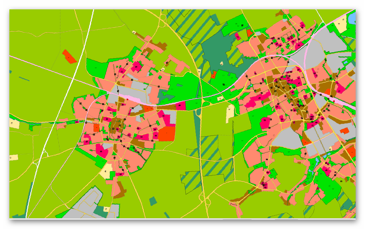
Hier erhalten Sie die Flächennutzungspläne von Niederkrüchten, Grefrath, Tönisvorst und Viersen. Der Flächennutzungsplan stellt die angestrebte Nutzung aller Flächen im Gemeindegebiet dar. Er bereitet die künftige Entwicklung des Gemeindegebietes vor, ohne dass er selbst Baurecht schafft. Durch eine Reihe bereits abgeschlossener Änderungsverfahren wird er an aktuelle Entwicklungen angepasst.
|
|
Citation proposal
. WFS FNP Kreis Viersen. Kreis Viersen https://gdk.gdi-de.org/geonetwork/srv/api/records/9b79902b-c500-4161-af8b-16846f1bb449 |
- Identification
- Distribution
- Quality
- Spatial rep.
- Ref. system
- Content
- Portrayal
- Metadata
- Md. constraints
- Md. maintenance
- Schema info
Identification
Identification info
Service Identification (19119)
Citation
- Date ( Creation )
- 2025-04-10T00:00:00.000+02:00
- Status
- On going
Publisher
Point of contact
Resource provider
Kreis Viersen - Amt 62/1 - Geobasisdaten und GIS
Rathausmarkt 3
Viersen
Nordrhein-Westfalen
41747
DEU
Point of contact
Point of contact
Point of contact
Point of contact
- Website
- https://www.viersen.de/
Maintenance information
- Maintenance and update frequency
- As needed
- Update scope
- Service
- Service Classification, version 1.0 ( Theme )
-
- infoFeatureAccessService
- Keywords
-
- Grefrath
- Niederkrüchten
- Tönisvorst
- Viersen
- Kreis Viersen
- 05166000
- Flächennutzungsplan
- Flächennutzungspläne
- FNP
- Ortsplanungsrecht
- bauen
- Bauleitplan
- opendata
- Keywords ( Theme )
-
- REGI
Legal constraints
- Use constraints
- Other restrictions
- Other constraints
- Datenlizenz Deutschland - Zero - Version 2.0 [https://www.govdata.de/dl-de/zero-2-0]
- Other constraints
- {"id":"dl-zero-de/2.0","name":"Datenlizenz Deutschland – Zero – Version 2.0","url":"https://www.govdata.de/dl-de/zero-2-0","quelle":""}
Legal constraints
- Access constraints
- otherRestrictions Other restrictions
- Service Type
- download
- Service Version
- OGC:WFS 2.0
Extent
Geographic description
- Extent type code
- true
- Geographic identifier
- Viersen, Kreis (05166)
N
S
E
W
))
Coupled Resource
- Operation Name
- GetCapabilities
Coupled Resource
- Operation Name
- DescribeFeatureType
Coupled Resource
- Operation Name
- GetFeature
- Coupling Type
- Tight
Contains Operations
- Operation Name
- GetCapabilities
- Distributed Computing Platforms
- Web services
Contains Operations
- Operation Name
- DescribeFeatureType
- Distributed Computing Platforms
- Web services
Contains Operations
- Operation Name
- GetFeature
- Distributed Computing Platforms
- Web services
- Operates On
Distribution
Distribution
- Distribution format
-
- ()
- OnLine resource
- WFS - FNP Kreis Viersen
- OnLine resource
- Dienst "WFS FNP Kreis Viersen" (GetCapabilities)
Metadata
Metadata
- File identifier
- 9b79902b-c500-4161-af8b-16846f1bb449 XML
- Metadata language
- German
- Character set
- UTF8
- Hierarchy level
- service Service
- Hierarchy level name
- service
- Date stamp
- 2025-09-18
- Metadata standard name
- ISO19119
- Metadata standard version
- 2005/PDAM 1
Point of contact
Kreis Viersen - Amt 62/1 - Geobasisdaten und GIS
Rathausmarkt 3
Viersen
Nordrhein-Westfalen
41747
DEU
Overviews
FNP
Provided by

Views
9b79902b-c500-4161-af8b-16846f1bb449
Access to the portal
Read here the full details and access to the data.
Associated resources
Not available