 www.geodatenkatalog.de (S3L)
Denkmalschutz Hessen (INSPIRE)
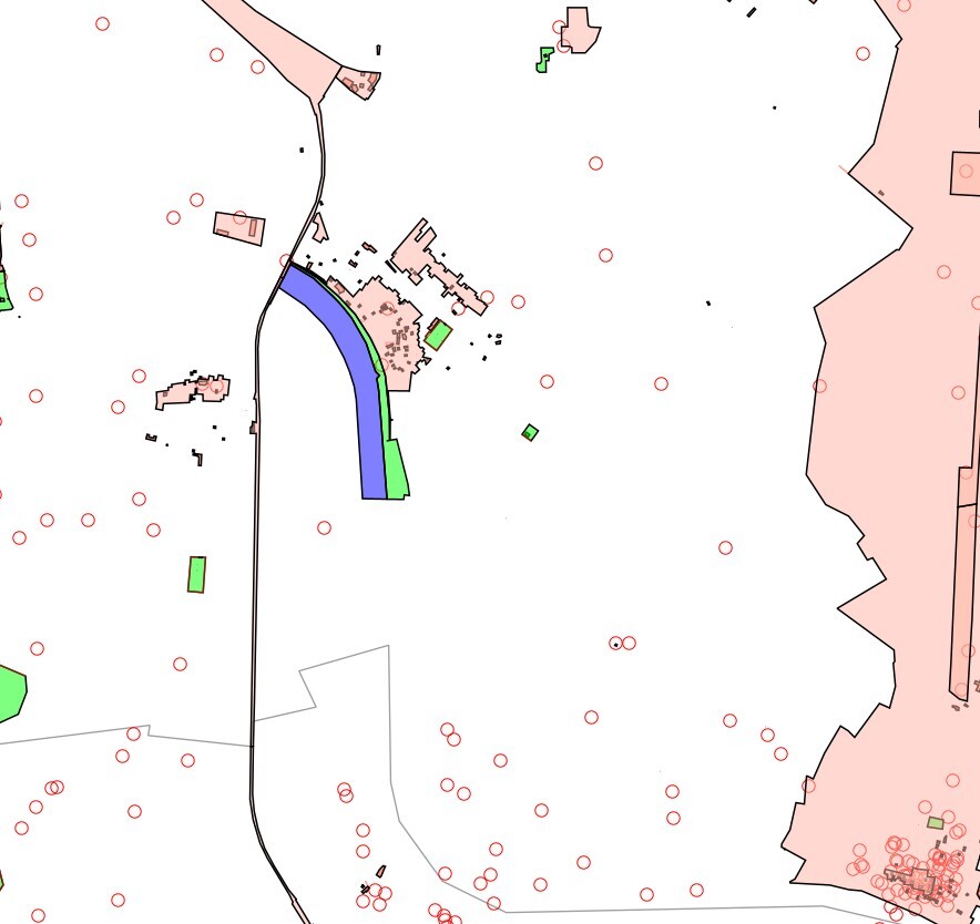
Der Datensatz Denkmalschutz Hessen (INSPIRE) des Landesamt für Denkmalschutz Hessen (LfDH) umfasst aus der Bau- und Kunstdenkmalpflege die Themen "Baudenkmal" und "Flächendenkmal", aus der hessenARCHÄOLOGIE die Themen "Bodendenkmal", "UNESCO-Welterbe Römischer Limes (Kernzone)" sowie "UNESCO-Welterbe Römischer Limes (Pufferzone)" und UNESCO-Weltnaturerbe Fossillagerstätte Grube Messel (Kernzone). Hinweis: Die Themen "Baudenkmal" und "Flächendenkmal" decken nicht die gesamte Landesfläche ab. Der aktuelle Bearbeitungsstand kann in einer Übersichtskarte in der Anwendung DenkXweb (https://denkxweb.denkmalpflege-hessen.de/bearbeitungsstand/) eingesehen werden. Die Themen "Bodendenkmal" sowie "UNESCO-Welterbe Römischer Limes (Kernzone)", "UNESCO-Welterbe Römischer Limes (Pufferzone)" und UNESCO-Weltnaturerbe Fossillagerstätte Grube Messel (Kernzone) decken die gesamte Landesfläche ab. Das Thema „Bodendenkmal“ (Kulturdenkmäler nach § 2 Abs. 2 HDSchG) wird als Mittelpunktkoordinate mit 300 m Wirkumkreis dargestellt.
|
|
Citation proposal
. Denkmalschutz Hessen (INSPIRE). https://gdk.gdi-de.org/geonetwork/srv/api/records/9e4f03f0-b28c-c315-ada7-b79afd820f86 |
INSPIRE
Identification
- File identifier
- 9e4f03f0-b28c-c315-ada7-b79afd820f86 XML
- Hierarchy level
- dataset Dataset
Online resource
Resource identifier
- Metadata language
- Deutsch German
- Spatial representation type
- Vector
Encoding
- Format
- Database
- Specification
- Specification unkown
Projection
- code
- urn:ogc:def:crs:EPSG:4326
Classification of data and services
- Topic category
-
- Environment
Classification of data and services
Coupled resource
Coupled resource
Classification of data and services
Coupled resource
Coupled resource
Keywords
- GEMET - INSPIRE themes, version 1.0
-
- Schutzgebiete
- Spatial scope
-
- Regional
- mapbender.2.registryId
-
- 1c349fea-924b-488f-b6a2-e896f40ac897
- High-Value dataset categories
Other keywords
- Keywords
-
- inspireidentifiziert
- Archaeologie
- archaeologischesDenkmal
- Archäologie
- archäologisches Denkmal
- Baudenkmal
- Bauwerke
- Bodendenkmal
- building
- Denkmal
- Denkmalpflege
- Denkmalschutz
- Ensemble
- environment
- Flächendenkmal
- flaechendenkmal
- Fossillagerstätte
- Gebäude
- Gesamtanlage
- geschützte Wasserfläche
- Grube Messel
- Grünfläche
- inspireidentifiziert
- Kernzone
- Kleindenkmal
- Kulturdenkmal
- Kunstdenkmal
- Monument
- opendata
- protected area
- Pufferzone
- Schutzgebiete
- Schutzzone
- structure
- Umwelt
- UNESCO-Welterbe Römischer Limes
- UNESCO-Weltnaturerbe
- Welterbe
- Weltkulturerbe
- Weltnaturerbe
Geographic coverage
N
S
E
W
))
Temporal reference
Temporal extent
Temporal extent
- Date ( Revision )
- 2025-12-01
Quality and validity
- Lineage
- Landesamt für Denkmalpflege Hessen - hessenARCHÄOLOGIE
- Distance
- 1 http://standards.iso.org/ittf/PubliclyAvailableStandards/ISO_19139_Schemas/resources/uom/ML_gmxUom.xml#m
Conformity
Conformity
Conformity
Conformity
Conformity
Conformity
- Explanation
- No explanation available
- Explanation
- No explanation available
- Explanation
- No explanation available
- Explanation
- No explanation available
Restrictions on access and use
- Access constraints
- Lizenz: dl-by-de/2.0 - Datenlizenz Deutschland Namensnennung 2.0 - https://www.govdata.de/dl-de/by-2-0 - Quellenvermerk: Landesamt für Denkmalpflege Hessen (LfDH)
- Access constraints
- {"id":"dl-by-de/2.0","name":"Datenlizenz Deutschland Namensnennung 2.0","url":"https://www.govdata.de/dl-de/by-2-0","quelle":"Landesamt f\u00fcr Denkmalpflege Hessen (LfDH)"}
Restrictions on access and use
Responsible organization (s)
Contact for the resource
- Organisation name
- Landesamt für Denkmalpflege Hessen (LfDH)
Responsible organization (s)
Contact for the resource
- Organisation name
- Landesamt für Denkmalpflege Hessen (LfDH)
Metadata information
Contact for the metadata
- Organisation name
- LFDH
- Date stamp
- 2025-12-01
- Metadata language
- Deutsch German
- Character set
- UTF8
SDS
Conformance class 1: invocable
Access Point URL
Endpoint URL
Technical specification
Conformance class 2: interoperable
Coordinate reference system
Quality of Service
Access constraints
Limitation
Use constraints
Limitation
Responsible custodian
Contact for the resource
Conformance class 3: harmonized
Overviews
Provided by

Views
9e4f03f0-b28c-c315-ada7-b79afd820f86
Access to the portal
Read here the full details and access to the data.
Associated resources
Not available