 My GeoNetwork catalogue
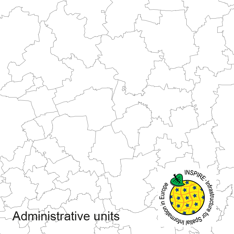
INSPIRE Administrative Units ATKIS-DLM250
Administrative units of Germany, derived from the german digital landscape model at scale 1:250000. Mapped via EuroBoundaryMap to satisfy INSPIRE and European Location Framework conformance. The dataset is available as Open Data.
Simple
- Alternate title
-
INSPIRE Verwaltungseinheiten
- Date (Creation)
- 2017-09-06T00:00:00.000+02:00
- Date (Revision)
- 2023-07-10T00:00:00.000+02:00
- Citation identifier
- https://registry.gdi-de.org/id/de.bund.bkg.csw/DEBKG00M00000210
- Status
- On going
+49 69 6333-235
https://www.bkg.bund.de
+49 69 6333-251
https://www.bkg.bund.de
- Maintenance and update frequency
- Annually
- Update scope
- Dataset
-
GEMET - INSPIRE themes, version 1.0
-
-
Administrative units
-
- Keywords
-
-
administrative areas
-
administrative boundaries
-
opendata
-
- Keywords
-
-
AdVMIS
-
- Keywords
-
-
inspireidentifiziert
-
- Use constraints
- Other restrictions
- Other constraints
-
Quellenvermerk: © GeoBasis-DE / BKG (year of last data download)
- Other constraints
-
{"id":"geoNutz/20130319","name":"Nutzungsbestimmungen für die Bereitstellung von Geodaten des Bundes","url":" https://sg.geodatenzentrum.de/web_public/gdz/lizenz/geonutzv.pdf","quelle":"© GeoBasis-DE / BKG (year of last data download)"}
- Access constraints
- Other restrictions
- Other constraints
- no limitations to public access
- Access constraints
- Other restrictions
- Spatial representation type
- Vector
- Denominator
- 250000
- Language
- Deutsch
- Character set
- UTF8
- Topic category
-
- Boundaries
- Extent type code
- Yes
- Geographic identifier
- Bundesrepublik Deutschland (000000000000)
))
- Code
- 000000000000
- Code
- 000000000000
- Unique resource identifier
- EPSG 4258: ETRS89 / geographisch
- Distribution format
-
-
GML
(
3.2
)
-
GML
(
3.2
)
Distributor
+49 69 6333-251
https://www.bkg.bund.de
- OnLine resource
- Dienst "INSPIRE-WMS Digital Landscape Model 1:250 000" (GetCapabilities) ( OGC Web Map Service )
- OnLine resource
- Dienst "INSPIRE-WFS Digital Landscape Model 1:250 000" (GetCapabilities) ( OGC Web Feature Service )
- Hierarchy level
- Dataset
Conformance result
- Date (Publication)
- 2010-04-26
- Explanation
-
see the referenced specification
- Pass
- Yes
Conformance result
- Date (Publication)
- 2010-12-08
- Explanation
-
see the referenced specification
- Pass
- Yes
- Statement
-
derived from german topographic database 1:250000
- File identifier
- BB6538CA-404E-46ED-B00C-C548495A1BF1 XML
- Metadata language
- English
- Character set
- UTF8
- Hierarchy level
- Dataset
- Date stamp
- 2026-03-23
- Metadata standard name
-
ISO19115
- Metadata standard version
-
2003/Cor.1:2006
+49 69 6333-251
https://www.bkg.bund.de
Overviews
Spatial extent
Provided by
