 www.geodatenkatalog.de (S1L)
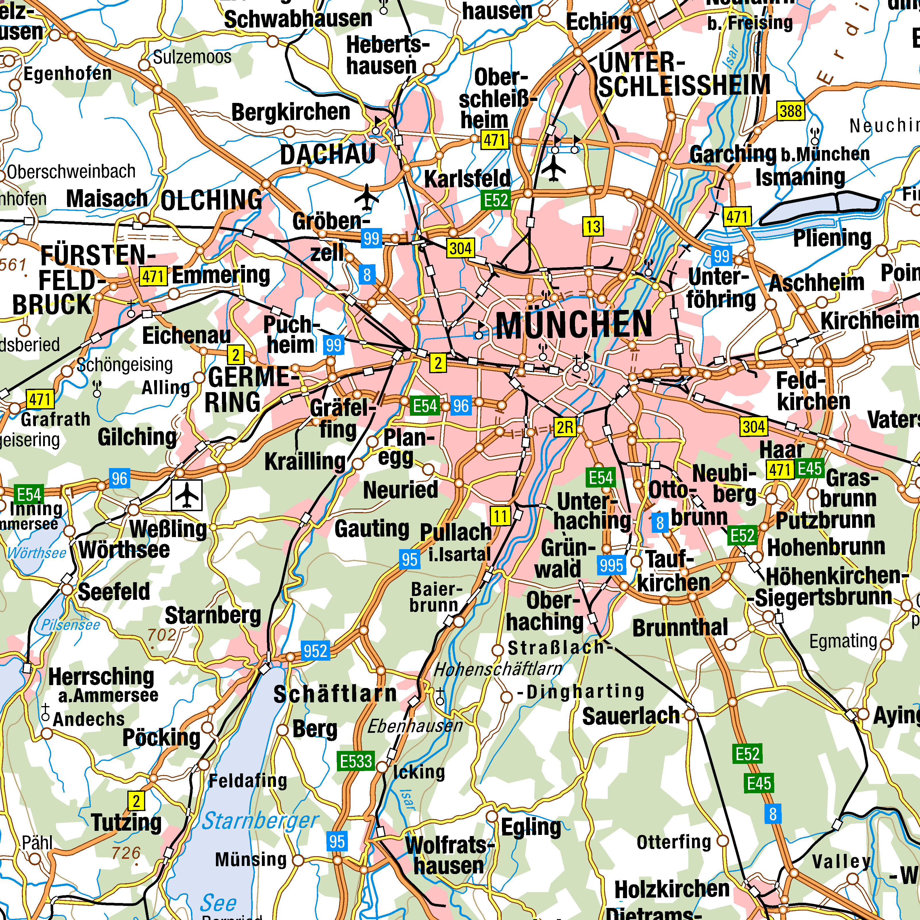
Digitale Topographische Karte 1:500 000
Georeferenzierte Rasterdaten der aus dem DLM1000 abgeleiteten und digital fortgeführten Topographischen Karte 1:500.000 (DTK500). Der Karteninhalt ist als Summenlayer (mit dem vollständigen Kartenbild) verfügbar. Der Datensatz wird flächendeckend für die Bundesrepublik Deutschland vorgehalten.
|
|
Citation proposal
. Digitale Topographische Karte 1:500 000. https://gdk.gdi-de.org/geonetwork/srv/api/records/CAD64476-1AD0-4F64-A2A2-75912E3A6D9D |
INSPIRE
Identification
- File identifier
- CAD64476-1AD0-4F64-A2A2-75912E3A6D9D XML
- Hierarchy level
- dataset Dataset
Online resource
Resource identifier
- Metadata language
- German
- Spatial representation type
- Grid
Encoding
- Format
- GeoTIFF
Projection
Classification of data and services
- Topic category
-
- Imagery base maps earth cover
Classification of data and services
Coupled resource
Coupled resource
Classification of data and services
Coupled resource
Coupled resource
Keywords
- GEMET - Concepts, version 3.1 ( Theme )
-
- waterfall
- sea
- road
- national park
- motorway
- island
- harbour
- natural park
- national reserve
- building
- airport
Other keywords
- Keywords
-
- Verwaltungsgebiete
- Wald, Forst
- Höhenfestpunkt
- Tunnel, Unterführung
- Sende-, Funkturm
- Turm
- Geländelinie
- Sonderkultur
- Schiffahrtslinie, Fährverkehr
- Ruine
- Schienenbahn
- Teich, Stausee
- Leuchtturm
- Binnensee
- Lagefestpunkt
- Höhenlinie, Tiefenlinie
- Kanal
- Brücke, Überführung
- Verwaltungseinheit
- Keywords
-
- opendata
- Keywords
-
- AdVMIS
Geographic coverage
N
S
E
W
))
Temporal reference
Temporal extent
Temporal extent
- Date ( Creation )
- 2020-01-03T00:00:00.000+01:00
Quality and validity
- Lineage
- Die Vektordaten des Digitalen Landschaftsmodells 1.000.000 (DLM1000) werden automatisch für die kartographische Visualisierung prozessiert, computergestützt laufendgehalten und automatisch in Rasterdaten gewandelt.
- Denominator
- 500000
Conformity
Conformity
Conformity
Conformity
Conformity
Conformity
- Explanation
- see the referenced specification
Restrictions on access and use
- Access constraints
- Die Daten sind urheberrechtlich geschützt. Die Daten werden geldleistungsfrei gemäß der Datenlizenz Deutschland Namensnennung 2.0 (https://www.govdata.de/dl-de/by-2-0) zur Verfügung gestellt. Die Verwendung des Datensatzes für die Pflege und Erweiterung der Daten des OpenStreetMap Projektes wird unter Einhaltung der im Ergänzungstext beschriebenen Angaben zur Namensnennung ausdrücklich erlaubt, siehe https://sgx.geodatenzentrum.de/web_public/gdz/lizenz/deu/Datenlizenz_Deutschland_Ergänzungstext_Namensnennung.pdf. Der Quellenvermerk ist zu beachten.
- Access constraints
- Quellenvermerk: © GeoBasis-DE / BKG (Jahr des Datenbezugs)
- Access constraints
- {"id":"dl-by-de/2.0","name":"Datenlizenz Deutschland Namensnennung 2.0","url":"https://www.govdata.de/dl-de/by-2-0","quelle":"© GeoBasis-DE / BKG (Jahr des Datenbezugs)"}
Restrictions on access and use
Responsible organization (s)
Contact for the resource
- Organisation name
- Bundesamt für Kartographie und Geodäsie (BKG)
- dlz@bkg.bund.de
- Organisation name
- Bundesamt für Kartographie und Geodäsie (BKG)
- dlz@bkg.bund.de
- Organisation name
- Bundesamt für Kartographie und Geodäsie (BKG)
- mailbox@bkg.bund.de
Metadata information
Contact for the metadata
- Organisation name
- Bundesamt für Kartographie und Geodäsie (BKG)
- dlz@bkg.bund.de
- Date stamp
- 2024-04-30
- Metadata language
- German
- Character set
- UTF8
SDS
Conformance class 1: invocable
Access Point URL
Endpoint URL
Technical specification
Conformance class 2: interoperable
Coordinate reference system
Quality of Service
Access constraints
Limitation
Use constraints
Limitation
Responsible custodian
Contact for the resource
Conformance class 3: harmonized
Overviews
DTK500_Vorschaubild
Provided by

Views
CAD64476-1AD0-4F64-A2A2-75912E3A6D9D
Access to the portal
Read here the full details and access to the data.
Associated resources
Not available