 www.geodatenkatalog.de (S3L)
Höheninformationen - aus dem Bildflug der Stadt Göttingen 2013
Im Jahr 2013 fand in Göttingen flächendeckend eine Luftbildbefliegung statt. Aus den Luftbilddaten wurde ein hochauflösendes DGM abgeleitet. Ergebnisse sind u. a. Höhenpunkte der Oberfläche mit einer Rasterweite von 5 m sowie diverse Bruchkanten. Die Höhengenauigkeit der Messdaten ist meist deutlich besser als ± 0,5m zu erwarten. Auf Wunsch können individuell ausgeprägte Höhendarstellungen, u.a. Höhenlinien oder digitales Geländemodell (DGM) als Datensatz oder Karte angeboten werden.
|
|
Citation proposal
. Höheninformationen - aus dem Bildflug der Stadt Göttingen 2013. https://gdk.gdi-de.org/geonetwork/srv/api/records/ab334ee6-0eed-47aa-94c9-32e62d5f0638 |
INSPIRE
Identification
- File identifier
- ab334ee6-0eed-47aa-94c9-32e62d5f0638 XML
- Hierarchy level
- Dataset
Online resource
Resource identifier
- Metadata language
- German
Encoding
- Format
- ASCII, Shape, DXF, DWG, TIFF
- Version
- div.
Projection
Classification of data and services
- Topic category
-
- Elevation
Classification of data and services
Coupled resource
Coupled resource
Classification of data and services
Coupled resource
Coupled resource
Keywords
Other keywords
- Keywords ( Theme )
-
- Topographie
- Stadtplanung
- Stadtentwicklung
- Höhe
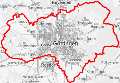
Geographic coverage
N
S
E
W
))
Temporal reference
Temporal extent
Temporal extent
- Date ( Creation )
- 2013-11-04
Quality and validity
- Lineage
- Luftbildflug 15.04.2013
Conformity
Conformity
Conformity
Conformity
Conformity
Conformity
Restrictions on access and use
- Access constraints
- Nutzungsvereinbarung
- Access constraints
- Nutzungsvereinbarung
Restrictions on access and use
Responsible organization (s)
Contact for the resource
- Organisation name
- Stadt Göttingen
- vermessung@goettingen.de
Responsible organization (s)
Contact for the resource
- Organisation name
- Stadt Göttingen
- vermessung@goettingen.de
Metadata information
Contact for the metadata
- Organisation name
- Stadt Göttingen
- vermessung@goettingen.de
- Date stamp
- 2023-01-12
- Metadata language
- German
SDS
Conformance class 1: invocable
Access Point URL
Endpoint URL
Technical specification
Conformance class 2: interoperable
Coordinate reference system
Quality of Service
Access constraints
Limitation
Use constraints
Limitation
Responsible custodian
Contact for the resource
Conformance class 3: harmonized
Overviews
Provided by

Views
ab334ee6-0eed-47aa-94c9-32e62d5f0638
Access to the portal
Read here the full details and access to the data.
Associated resources
Not available