 www.geodatenkatalog.de (S1L)
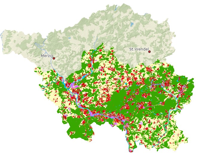
Urban Atlas Saarbrücken
Urban Atlas De040l Saarbrücken: Der GMES Urban Atlas stellt Flächennutzung Daten (für städtische Gebiete mit mehr als 100.000 Einwohners) bereit, die aus dem Fernerkundungsprojekt GMES (Global Monitoring for Environment and Security) abgeleitet sind. Die Europäische Umweltagentur (EUA) ist eine Einrichtung der Europäischen Union. Ihre Aufgabe besteht darin, zuverlässige und unabhängige Informationen über die Umwelt zur Verfügung zu stellen. Die EUA hat gegenwärtig 32 Mitgliedsländer.
https://www.eea.europa.eu/en/datahub/datahubitem-view/e006507d-15c8-49e6-959c-53b61facd873
|
|
Citation proposal
. Urban Atlas Saarbrücken. https://gdk.gdi-de.org/geonetwork/srv/api/records/afd6bd0b-d74f-4b93-8850-1fb891cb3c1c |
INSPIRE
Identification
- File identifier
- afd6bd0b-d74f-4b93-8850-1fb891cb3c1c XML
- Hierarchy level
- dataset Dataset
Online resource
Resource identifier
- Metadata language
- German
- Spatial representation type
- Vector
Encoding
Projection
Classification of data and services
- Topic category
-
- Planning cadastre
Classification of data and services
Coupled resource
Coupled resource
Classification of data and services
Coupled resource
Coupled resource
Keywords
Other keywords
- Keywords
-
- Planungsunterlagen/Kataster
- Saarland
- Geoportal
Geographic coverage
N
S
E
W
))
Temporal reference
Temporal extent
Temporal extent
- Date ( Creation )
- 2011-12-01T00:00:00.000+01:00
Quality and validity
- Lineage
- Global Monitoring for Environment and Security
Conformity
Conformity
Conformity
Conformity
Conformity
Conformity
Restrictions on access and use
Restrictions on access and use
Responsible organization (s)
Contact for the resource
- Organisation name
- European Environment Agency
- Organisation name
- Referat E/6 Geodatenzentrum
Responsible organization (s)
Contact for the resource
- Organisation name
- European Environment Agency
- Organisation name
- Referat E/6 Geodatenzentrum
Metadata information
Contact for the metadata
- Organisation name
- Referat E/6 Geodatenzentrum
- Date stamp
- 2025-09-09
- Metadata language
- German
- Character set
- UTF8
SDS
Conformance class 1: invocable
Access Point URL
Endpoint URL
Technical specification
Conformance class 2: interoperable
Coordinate reference system
Quality of Service
Access constraints
Limitation
Use constraints
Limitation
Responsible custodian
Contact for the resource
Conformance class 3: harmonized
Overviews
Urban Atlas Saarbrücken
Provided by

Views
afd6bd0b-d74f-4b93-8850-1fb891cb3c1c
Access to the portal
Read here the full details and access to the data.
Associated resources
Not available