 www.geodatenkatalog.de (S2F)
Kompensationsflächen Kreis Viersen
Diese Daten beinhalten die Flächen des Kompensationsflächenverzeichnis § 34 LnatSchG mit den Unterteilungen CEF-Maßnahme, Ersatzaufforstung, Kohärenzmaßnahme, Kompensationsfläche, Ökokontofläche, Poolfläche und Schadensbegrenzungsmaßnahme.
Die Daten sind tagesaktuell.
|
|
Citation proposal
. Kompensationsflächen Kreis Viersen. Kreis Viersen https://gdk.gdi-de.org/geonetwork/srv/api/records/b3f7cbad-6dec-41bc-91a0-6b6d823ea353 |
INSPIRE
Identification
- File identifier
- b3f7cbad-6dec-41bc-91a0-6b6d823ea353 XML
- Hierarchy level
- dataset Dataset
Online resource
Resource identifier
- Metadata language
- German
Encoding
Projection
Classification of data and services
- Topic category
-
- Environment
Classification of data and services
Coupled resource
Coupled resource
Classification of data and services
Coupled resource
Coupled resource
Keywords
- UMTHES Thesaurus ( Theme )
Other keywords
- Keywords
-
- Brüggen
- Grefrath
- Kempen
- Nettetal
- Niederkrüchten
- Schwalmtal
- Tönisvorst
- Viersen
- Willich
- Kreis Viersen
- 05166000
- CEF-Maßnahme
- Ersatzaufforstung
- Kohärenzmaßnahme
- Kompensationsfläche
- Ökokontofläche
- Poolfläche
- Schadensbegrenzungsmaßnahme
- Artenschutz
- Ausgleichsmaßnahme
- Aufforstung
- FFH-Richtlinie
- EU-Vogelschutzrichtlinie
- Natura 2000
- Lebensraumtypen
- Kohärenzsicherung
- Ersatzmaßnahme
- Eingriffsregelung
- Anpflanzung
- Kompensationsraum
- Ökopunkte
- opendata
- Keywords ( Theme )
-
- ENVI
Geographic coverage
N
S
E
W
))
Temporal reference
Temporal extent
Temporal extent
- Date ( Creation )
- 2024-11-22T00:00:00.000+01:00
Quality and validity
- Lineage
- Die fachliche Grundlage ist das Landesnaturschutzgesetz NRW (LnatSchG NRW).
Conformity
Conformity
Conformity
Conformity
Conformity
Conformity
Restrictions on access and use
- Access constraints
- Datenlizenz Deutschland - Zero - Version 2.0 [https://www.govdata.de/dl-de/zero-2-0]
- Access constraints
- {"id":"dl-zero-de/2.0","name":"Datenlizenz Deutschland – Zero – Version 2.0","url":"https://www.govdata.de/dl-de/zero-2-0","quelle":""}
Restrictions on access and use
Responsible organization (s)
Contact for the resource
- Organisation name
- Kreis Viersen
- open@kreis-viersen.de
- Organisation name
- Kreis Viersen - Amt 60/2 - Untere Naturschutzbehörde
- Organisation name
- Kommunales Rechenzentrum Niederrhein (KRZN)
- geoservices@krzn.de
Responsible organization (s)
Contact for the resource
- Organisation name
- Kreis Viersen
- open@kreis-viersen.de
- Organisation name
- Kreis Viersen - Amt 60/2 - Untere Naturschutzbehörde
- Organisation name
- Kommunales Rechenzentrum Niederrhein (KRZN)
- geoservices@krzn.de
Metadata information
Contact for the metadata
- Organisation name
- Kreis Viersen - Amt 62/1 - Geobasisdaten und GIS
- open@kreis-viersen.de
- Date stamp
- 2025-04-30
- Metadata language
- German
SDS
Conformance class 1: invocable
Access Point URL
Endpoint URL
Technical specification
Conformance class 2: interoperable
Coordinate reference system
Quality of Service
Access constraints
Limitation
Use constraints
Limitation
Responsible custodian
Contact for the resource
Conformance class 3: harmonized
Overviews
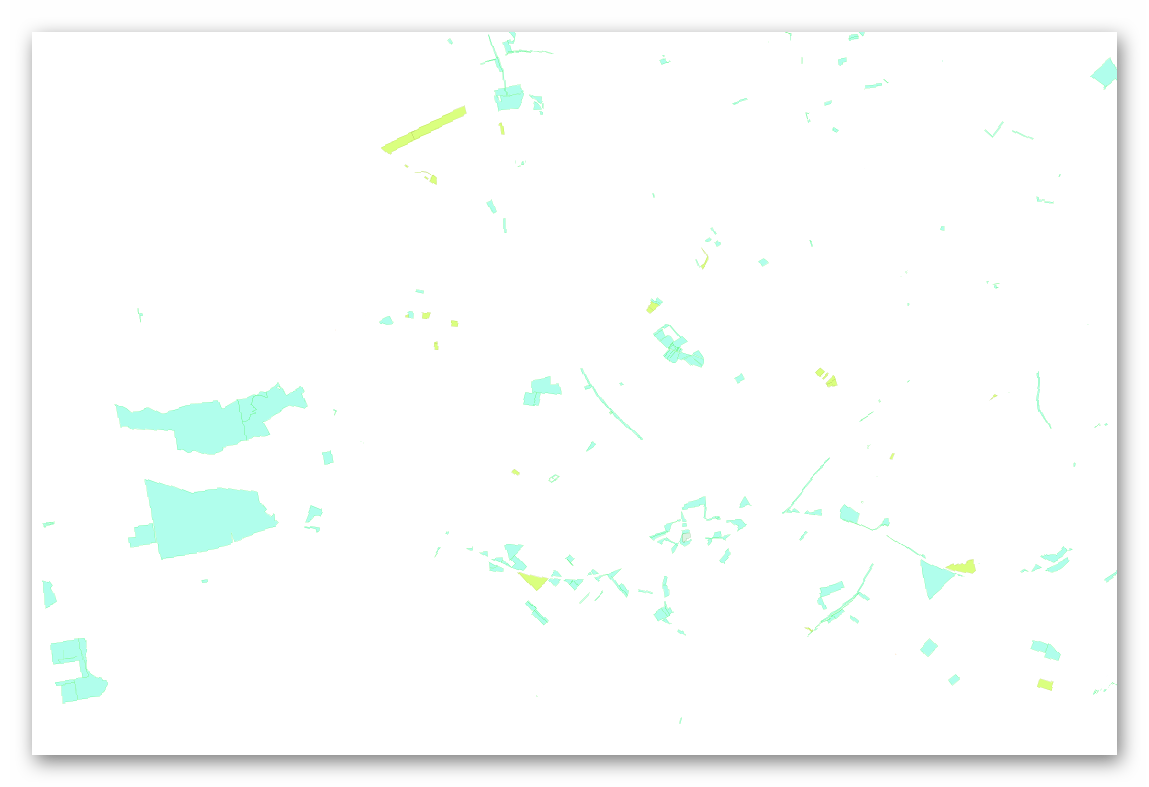
Kompensationsflächen
Provided by

Views
b3f7cbad-6dec-41bc-91a0-6b6d823ea353
Access to the portal
Read here the full details and access to the data.
Associated resources
Not available