 www.geodatenkatalog.de (S3L)
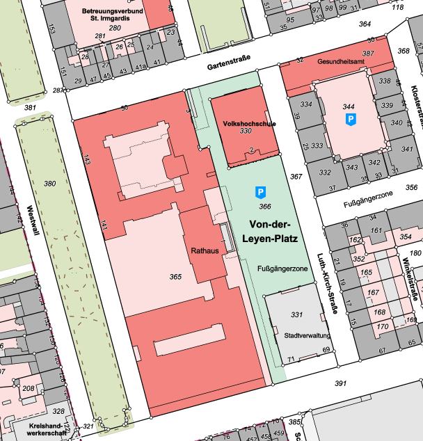
Flurkarte Krefeld
Die Flurkarte Krefeld wird aus dem Datenbestand des Amtlichen Liegenschaftskatasters abgeleitet. Sie enthält Grenzen und Grenzpunkte, Gebäude, Nutzungsarten sowie die charakteristische Topografie. Die Flurkarte wird in den Maßstäben 1 : 500, 1 : 1.000 und 1 : 2.000 bereitgestellt.
Amtliche Auszüge sind nur beim zuständigen Katasteramt erhältlich.
|
|
Citation proposal
(2024) . Flurkarte Krefeld. Stadt Krefeld https://gdk.gdi-de.org/geonetwork/srv/api/records/b831873c-cdbd-47af-aa43-b003aa4ba598 |
INSPIRE
Identification
- File identifier
- b831873c-cdbd-47af-aa43-b003aa4ba598 XML
- Hierarchy level
- dataset Dataset
Online resource
Resource identifier
- Metadata language
- German
Encoding
Projection
Classification of data and services
- Topic category
-
- Planning cadastre
- Structure
- Boundaries
- Imagery base maps earth cover
Classification of data and services
Coupled resource
Coupled resource
Classification of data and services
Coupled resource
Coupled resource
Keywords
- UMTHES Thesaurus ( Theme )
- GEMET - Concepts, version 3.1 ( Theme )
Other keywords
- Keywords
-
- Stadt Krefeld
- Flurkarte
- Liegenschaftskarte
- Katasterkarte
- Liegenschaftskataster
- Tatsächliche Nutzung
- Nutzungsart
- Nutzung
- Flurstück
- Flur
- Gemarkung
Geographic coverage
N
S
E
W
))
Temporal reference
Temporal extent
Temporal extent
- Date ( Publication )
- 2024-12-12T00:00:00.000+01:00
Quality and validity
- Lineage
- Das Amtliche Liegenschaftskataster-Informationssystem (ALKIS) weist die Liegenschaften und sonstige Basisinformationen des Liegenschaftskatasters mit objektstrukturierten Geometrie- und Sachdaten nach. ALKIS liegt die von der Arbeitsgemeinschaft der Vermessungsverwaltungen der Länder der Bundesrepublik Deutschland (AdV) entwickelte und in der Dokumentation zur Modellierung der Geoinformationen des amtlichen Vermessungswesens (GeoInfoDok) enthaltene Konzeption des Amtlichen Liegenschaftskataster-Informationssystem zu Grunde.
Conformity
Conformity
Conformity
Conformity
Conformity
Conformity
Restrictions on access and use
- Access constraints
- Datenlizenz Deutschland - Zero - Version 2.0 [https://www.govdata.de/dl-de/zero-2-0]
- Access constraints
- {"id":"dl-zero-de/2.0","name":"Datenlizenz Deutschland – Zero – Version 2.0","url":"https://www.govdata.de/dl-de/zero-2-0","quelle":""}
Restrictions on access and use
Responsible organization (s)
Contact for the resource
- Organisation name
- Stadt Krefeld
- Organisation name
- Stadt Krefeld
- gis@krefeld.de
Responsible organization (s)
Contact for the resource
- Organisation name
- Stadt Krefeld
- Organisation name
- Stadt Krefeld
- gis@krefeld.de
Metadata information
Contact for the metadata
- Organisation name
- Stadt Krefeld
- gis@krefeld.de
- Date stamp
- 2025-03-26
- Metadata language
- German
SDS
Conformance class 1: invocable
Access Point URL
Endpoint URL
Technical specification
Conformance class 2: interoperable
Coordinate reference system
Quality of Service
Access constraints
Limitation
Use constraints
Limitation
Responsible custodian
Contact for the resource
Conformance class 3: harmonized
Overviews
Provided by

Views
b831873c-cdbd-47af-aa43-b003aa4ba598
Access to the portal
Read here the full details and access to the data.
Associated resources
Not available