 www.geodatenkatalog.de (S3F)
Bauleitplanung Flächennutzungspläne Thüringen
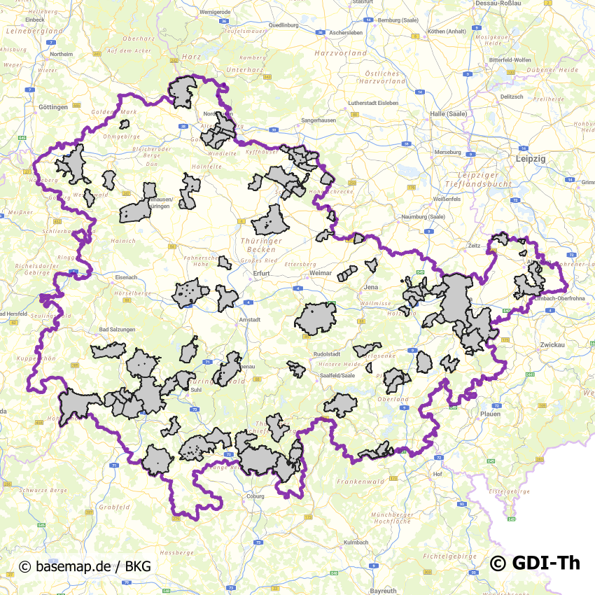
Zusammenfassung der in der GDI-Th veröffentlichten Geltungsbereiche der Flächennutzungspläne in Thüringen. Die Planwerke liegen in Form von Geltungsbereichen (vektoriell) und die über eine URL referenzierten Rasterdarstellungen vor. Die originären Daten werden von der jeweiligen kommunalen Behörde (kreisfreie Städte, Gemeinden, Verwaltungsgemeinschaften etc.) gepflegt.
|
|
Citation proposal
. Bauleitplanung Flächennutzungspläne Thüringen. https://gdk.gdi-de.org/geonetwork/srv/api/records/bbd44ccc-945f-4e33-a06b-e362731531cf |
INSPIRE
Identification
- File identifier
- bbd44ccc-945f-4e33-a06b-e362731531cf XML
- Hierarchy level
- Dataset
Online resource
- Protocol
- OGC:WMS-http-get-map
- Protocol
- WWW:LINK-1.0-http--rss
Resource identifier
- Metadata language
- German
- Spatial representation type
- Vector
Encoding
Projection
Classification of data and services
- Topic category
-
- Planning cadastre
Classification of data and services
Coupled resource
Coupled resource
Classification of data and services
Coupled resource
Coupled resource
Keywords
- GEMET - INSPIRE themes, version 1.0 ( Theme )
-
- Bodennutzung
Other keywords
- Keywords
-
- Bauleitplanung
- Flächennutzungsplan
- F-Plan
- Thüringen
Geographic coverage
N
S
E
W
))
Temporal reference
Temporal extent
Temporal extent
- Date ( Revision )
- 2024-04-09
Quality and validity
- Lineage
- Die Geodaten sind Eigentum der jeweiligen kommunalen Ebene
- Denominator
- 750000
Conformity
Conformity
Conformity
Conformity
Conformity
Conformity
- Explanation
- Originäre Daten
- Explanation
- Originäre Daten
Restrictions on access and use
- Access constraints
- Nutzungsbedingungen: Dieser Datensatz inkl. der verlinkten Planunterlagen ist Eigentum der jeweiligen kommunalen Ebene. Es gelten die Nutzungsbedingungen der jeweiligen kommunalen Ebene.
Restrictions on access and use
Responsible organization (s)
Contact for the resource
- Organisation name
- Thüringer Landesamt für Bodenmanagement und Geoinformation
Responsible organization (s)
Contact for the resource
- Organisation name
- Thüringer Landesamt für Bodenmanagement und Geoinformation
Metadata information
Contact for the metadata
- Organisation name
- Thüringer Landesamt für Bodenmanagement und Geoinformation
- Date stamp
- 2024-04-09T10:51:21
- Metadata language
- German
SDS
Conformance class 1: invocable
Access Point URL
Endpoint URL
Technical specification
Conformance class 2: interoperable
Coordinate reference system
Quality of Service
Access constraints
Limitation
Use constraints
Limitation
Responsible custodian
Contact for the resource
Conformance class 3: harmonized
Overviews
Vorschaubild
Provided by

Views
bbd44ccc-945f-4e33-a06b-e362731531cf
Access to the portal
Read here the full details and access to the data.
Associated resources
Not available