 www.geodatenkatalog.de (S1L)
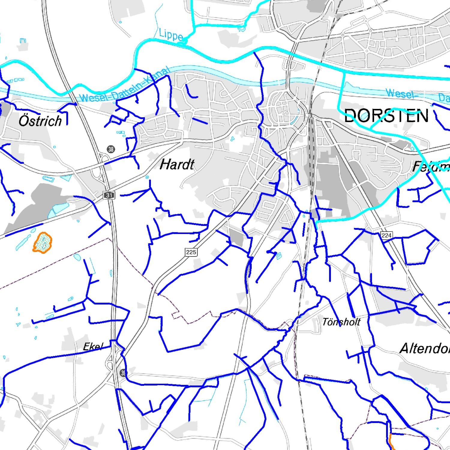
Gewässer (Kreis Recklinghausen / Vektordaten)
Gewässerverläufe (Fliesgewässer) im Kreis Recklinghausen.
|
|
Citation proposal
(2019) . Gewässer (Kreis Recklinghausen / Vektordaten). https://gdk.gdi-de.org/geonetwork/srv/api/records/c69780a0-d34d-4be7-a949-1f456e7f473a |
INSPIRE
Identification
- File identifier
- c69780a0-d34d-4be7-a949-1f456e7f473a XML
- Hierarchy level
- Dataset
Online resource
- Protocol
- WWW:LINK-1.0-http--link
- Protocol
- WWW:LINK-1.0-http--link
Resource identifier
- Metadata language
- German
- Spatial representation type
- Vector
Encoding
- Format
- MapInfo Tab
- Version
- Specification
- Format
- Shape
- Version
- Specification
- Format
- dxf
- Version
- Specification
- Format
- dwg
- Version
- Specification
Projection
Classification of data and services
- Topic category
-
- Environment
Classification of data and services
Coupled resource
Coupled resource
Classification of data and services
Coupled resource
Coupled resource
Keywords
- GEMET - INSPIRE themes, version 1.0 ( Theme )
-
- Gewässernetz
- High-value dataset categories ( Theme )
-
- Erdbeobachtung und Umwelt
- GEMET ( Theme )
-
- Wasser
- Gewässer
- GovData ( Theme )
-
- Umwelt und Klima
- Region ( Place )
-
- Kreis Recklinghausen
Other keywords
- Keywords
-
Geographic coverage
N
S
E
W
))
Temporal reference
Temporal extent
Temporal extent
- Date ( Publication )
- 2019-05-10T08:00:00
Quality and validity
- Lineage
- -
Conformity
Conformity
Conformity
Conformity
Conformity
Conformity
- Explanation
- see the referenced specification
Restrictions on access and use
- Access constraints
- Nutzungsbedingungen: Es gelten die Lizenzbedingungen „Datenlizenz Deutschland - Namensnennung - Version 2.0“ bzw. „dl-de/by-2-0” (https://www.govdata.de/dl-de/by-2-0) mit den dort geforderten Angaben zum Quellenvermerk. Als Rechteinhaber und Bereitsteller ist „Kreis Recklinghausen“, sowie das Jahr des Datenbezugs in Klammern anzugeben.
- Access constraints
- {"id": "dl-by-de/2.0", "name": "Datenlizenz Deutschland Namensnennung 2.0", "url": "https://www.govdata.de/dl-de/by-2-0", "quelle": "©Kreis Recklinghausen (Jahr)"}
Restrictions on access and use
Responsible organization (s)
Contact for the resource
- Organisation name
- Kreisverwaltung Recklinghausen
- Organisation name
- Kreisverwaltung Recklinghausen
- umwelt@kreis-re.de
Responsible organization (s)
Contact for the resource
- Organisation name
- Kreisverwaltung Recklinghausen
- Organisation name
- Kreisverwaltung Recklinghausen
- umwelt@kreis-re.de
Metadata information
Contact for the metadata
- Organisation name
- Kreisverwaltung Recklinghausen
- Date stamp
- 2025-07-17T05:05:16.553Z
- Metadata language
- German
- Character set
- UTF8
SDS
Conformance class 1: invocable
Access Point URL
Endpoint URL
Technical specification
Conformance class 2: interoperable
Coordinate reference system
Quality of Service
Access constraints
Limitation
Use constraints
Limitation
Responsible custodian
Contact for the resource
Conformance class 3: harmonized
Overviews
Gewässer
Provided by

Views
c69780a0-d34d-4be7-a949-1f456e7f473a
Access to the portal
Read here the full details and access to the data.
Associated resources
Not available