 www.geodatenkatalog.de (S2F)
Digitales Landschaftsmodell 50
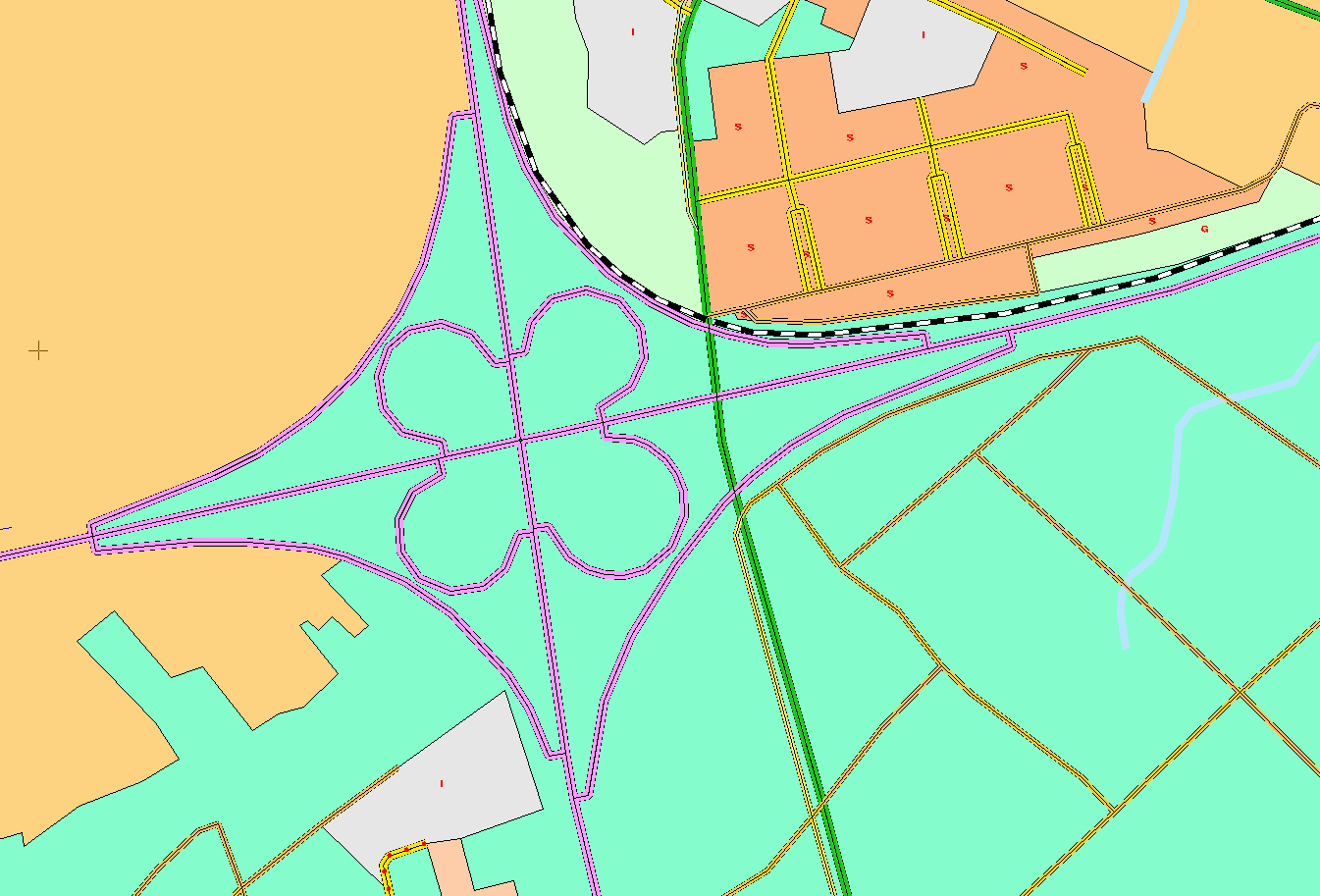
Bei diesem Landschaftsmodell ist der Inhalt gegenüber dem Basis - DLM reduziert. Es weist eine einfachere Strukturierung und eine geringere Datenmenge auf. Das DLM50 enthält die topographischen Objekte der Landschaft in vektorisierter Form, entsprechend dem Objektartenkatalog 1:50 000 (OK50).
|
|
Citation proposal
. Digitales Landschaftsmodell 50. https://gdk.gdi-de.org/geonetwork/srv/api/records/cfaa1556-0356-423c-bf5a-abfe88c31718 |
INSPIRE
Identification
- File identifier
- cfaa1556-0356-423c-bf5a-abfe88c31718 XML
- Hierarchy level
- Dataset
Online resource
- Protocol
- WWW:LINK-1.0-http--link
Resource identifier
- Metadata language
- German
- Spatial representation type
- Vector
Encoding
- Format
- NAS, Shape
- Version
- 1
Projection
- code
- 25832
Classification of data and services
- Topic category
-
- Structure
Classification of data and services
Coupled resource
Coupled resource
Classification of data and services
Coupled resource
Coupled resource
Keywords
Other keywords
- Keywords
-
- Landschaft
- Modell
- ATKIS
- DLM
- AdVMIS
Geographic coverage
N
S
E
W
))
Temporal reference
Temporal extent
Temporal extent
- Date ( Creation )
- 2004-01-01
Quality and validity
- Lineage
- Das DLM50 wird in zwei Schritten erstellt. Zunächst wird aus dem Basis - DLM das DLM50.1 durch eine Modell-generalisierung d. h. durch eine inhaltliche (semantische) Generalisierung sowie durch eine Vereinfachung von geometrischen Strukturen vollautomatisch erzeugt. Die Objekte sind somit lagerichtig dargestellt und noch nicht verdrängt. Das DLM50.1 liegt flachendeckend für Thüringen vor. In einem zweiten Schritt entsteht aus dem DLM50.1 durch kartographische Generalisierung das DLM50.2. In diesem DLM sind die Objekte soweit verdrängt, dass eine kartographische Darstellung möglich ist. Ziel ist es, in naher Zukunft mit geeigneter Generalisierungs- und Präsentationssoftware eine kartographisch gestaltete Ausgabe im Maßstab 1:50 000 (DTK50) aus dem DLM50 abzuleiten.
- Denominator
- 50000
Conformity
Conformity
Conformity
Conformity
Conformity
Conformity
Restrictions on access and use
- Access constraints
- Nutzungsbedingungen: Dieser Datensatz kann gemäß der „ Allgemeine Geschäfts- und Nutzungsbedingungen des Landesamtes für Vermessung und Geoinformation des Freistaats Thüringen (TLVermGeo) (AGNB)“ (http://www.thueringen.de/mam/th9/tlvermgeo/agnb-tlvermgeo.pdf) genutzt werden.
Restrictions on access and use
Responsible organization (s)
Contact for the resource
- Organisation name
- Thüringer Landesamt für Bodenmanagement und Geoinformation
Responsible organization (s)
Contact for the resource
- Organisation name
- Thüringer Landesamt für Bodenmanagement und Geoinformation
Metadata information
Contact for the metadata
- Organisation name
- Thüringer Landesamt für Bodenmanagement und Geoinformation
- Date stamp
- 2022-01-24T10:42:14
- Metadata language
- German
SDS
Conformance class 1: invocable
Access Point URL
Endpoint URL
Technical specification
Conformance class 2: interoperable
Coordinate reference system
Quality of Service
Access constraints
Limitation
Use constraints
Limitation
Responsible custodian
Contact for the resource
Conformance class 3: harmonized
Overviews
Provided by

Views
cfaa1556-0356-423c-bf5a-abfe88c31718
Access to the portal
Read here the full details and access to the data.
Associated resources
Not available