 www.geodatenkatalog.de (S1L)
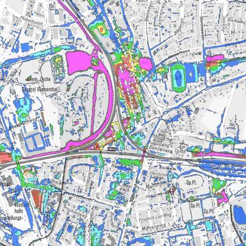
Fließwegeanalyse
Daten zu Wasserständen und Fließwegen auf der Oberfläche nach einer urbanen Sturzflut
|
|
Citation proposal
. Fließwegeanalyse. https://gdk.gdi-de.org/geonetwork/srv/api/records/d1a612e6-db24-4d7d-8b75-1a9124297540 |
Simple
- Date ( Creation )
- 2015-12-17
- Date ( Revision )
- 2019-05-02
- Status
- Completed
Point of contact
- Keywords ( Theme )
-
- Wasserlauf
- Regenwasserkanalisation
- Niederschlag
- Risikoexpositionsplan
- Risiko
- opendata
- ENVI
- Access constraints
- Other restrictions
- Use limitation
- Nutzungsbedingungen: Datenlizenz Deutschland Namensnennung 2.0
- Use constraints
- Other restrictions
- Other constraints
- Nutzungsbedingungen: Datenlizenz Deutschland Namensnennung 2.0
- Other constraints
- {"id": "dl-by-de/2.0", "name": "Datenlizenz Deutschland Namensnennung 2.0", "url": "http://www.govdata.de/dl-de/by-2-0", "quelle": "Quelle: © Stadt Recklinghausen"}
- Spatial representation type
- Vector
- Metadata language
- German
- Topic category
-
- Environment
N
S
E
W
))
- Distribution format
-
- MapInfo ( )
- Name
- Fließwegeanalyse
- Description
- Fließwegeanalyse
- Function
- Download
gmd:MD_Metadata
- File identifier
- d1a612e6-db24-4d7d-8b75-1a9124297540 XML
- Metadata language
- German
- Character set
- UTF8
- Hierarchy level
- Dataset
- Date stamp
- 2024-11-13
- Metadata standard name
- ISO 19115:2003/19139
- Metadata standard version
- 1.0
Point of contact
Overviews
thumbnail
Provided by

Views
d1a612e6-db24-4d7d-8b75-1a9124297540
Access to the portal
Read here the full details and access to the data.
Associated resources
Not available