 www.geodatenkatalog.de (S3L)
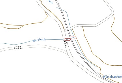
Hochwasserrisiko - Durchlässe Saarland
Darstellung der Durchlässe, die der Entwässerung dienen. Durchlässe sind nicht für das ganze Saarland erfasst. Attribute: DREHUNG: Winkelangabe für Kartendarstellung GEWAESSER: Gewässername GEWKZ: Gewässerkennziffer nach LAWA. (Planungsdaten)
|
|
Citation proposal
(2016) . Hochwasserrisiko - Durchlässe Saarland. https://gdk.gdi-de.org/geonetwork/srv/api/records/d4fd6a46-a144-433d-bbb5-ec28b1609770 |
- Identification
- Distribution
- Quality
- Spatial rep.
- Ref. system
- Content
- Portrayal
- Metadata
- Md. constraints
- Md. maintenance
- Schema info
Identification
Data identification
Citation
- Date ( Creation )
- 2012-12-15T00:00:00.000+01:00
- Date ( Publication )
- 2016-03-01T00:00:00.000+01:00
Point of contact
Fachbereich 2.4 Gewässerentwicklung und Hochwasserschutz
Don-Bosco-Straße 1
Saarbrücken
Saarland
66119
DEU
- Keywords
-
- Geowissenschaften
- geoportal
- Saarland
- opendata
- Keywords ( Theme )
-
- REGI
- ENVI
- Use limitation
- Maßstabsbeschränkung im Geoportal.
Legal constraints
- Use constraints
- Other restrictions
- Other constraints
- Creative Commons Namensnennung – 4.0 International (CC BY 4.0)
- Other constraints
- Quellenvermerk: © GDI-SL (Jahr)
Legal constraints
- Access constraints
- otherRestrictions Other restrictions
- Spatial representation type
- Vector
- Metadata language
- German
- Character set
- UTF8
- Topic category
-
- Geoscientific information
Extent
Geographic description
- Extent type code
- true
- Geographic identifier
- Saarland, Deutschland (administrative) (10)
N
S
E
W
))
Distribution
Distribution
- Distribution format
-
- Esri Shape (1.0 )
Distributor
Distributor
- OnLine resource
-
Hochwasserrisiko - Durchlässe Saarland
Karten
- OnLine resource
-
Hochwasserrisiko - Durchlässe Saarland
Geoportal SL
- OnLine resource
-
Hochwasserrisiko - Durchlässe Saarland
Shape Download
- OnLine resource
-
Hochwasserrisiko - Durchlässe Saarland
Geoportal SL
Quality
Data quality
- Hierarchy level
- Dataset
- Statement
- Landesamt für Umwelt- und Verbraucherschutz (LUA). Projektbearbeitung: Firma eepi, Luxembourg, Firma NetGIS (Blies)
Metadata
Metadata
- File identifier
- d4fd6a46-a144-433d-bbb5-ec28b1609770 XML
- Metadata language
- German
- Character set
- UTF8
- Hierarchy level
- dataset Dataset
- Date stamp
- 2025-11-13
- Metadata standard name
- ISO19115
- Metadata standard version
- 2003/Cor.1:2006
Point of contact
Overviews
Hochwasserrisiko - Durchlässe Saarland
Provided by

Views
d4fd6a46-a144-433d-bbb5-ec28b1609770
Access to the portal
Read here the full details and access to the data.
Associated resources
Not available