 My GeoNetwork catalogue
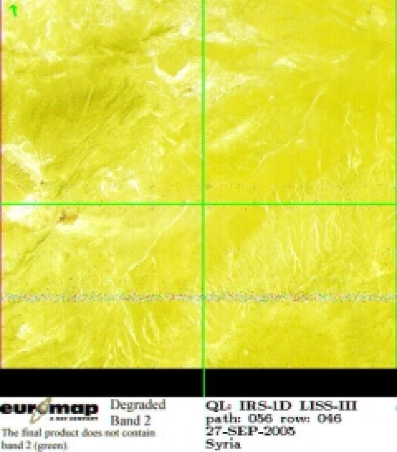
IRS-1D - Multispectral Images (LISS-III) - Europe
Indian Remote Sensing satellites (IRS) are a series of Earth Observation satellites, built, launched and maintained by Indian Space Research Organisation. The IRS series provides many remote sensing services to India and international ground stations. \\n\\nIRS LISS-III data are well suited for agricultural and forestry monitoring tasks. Because of their simultaneous acquisition with IRS PAN data and the availability of a synthetic blue band, LISS-III data are ideal for colouring IRS PAN products.
INSPIRE
Identification
- File identifier
- d51ffc79-5c9f-4252-be8e-2932eab8fff0 XML
- Hierarchy level
- Series
Online resource
- Protocol
-
WWW:LINK-1.0-http--link
- Protocol
-
WWW:LINK-1.0-http--related
Resource identifier
- Metadata language
-
eng
- Spatial representation type
- Grid
Encoding
Projection
- code
-
WGS 84 (EPSG:4326)
Classification of data and services
- Topic category
-
- Imagery base maps earth cover
Classification of data and services
Coupled resource
Coupled resource
Classification of data and services
Coupled resource
Coupled resource
Keywords
-
GEMET - INSPIRE themes, version 1.0
-
-
Orthoimagery
-
Other keywords
- Keywords
-
-
urn:eop:DLR:EOWEB:IRS-1D.LISS-III.P
-
IRS-1D
-
LISS-III
-
visible wavelengths
-
infrared wavelengths
-
multispectral
-
FEDEO
-
Geographic coverage
))
Temporal reference
Temporal extent
- Begin
- 1999-01-01T08:51:00
- End
- 2005-01-27T07:49:00
Temporal extent
- Date (Creation)
- 2015-01-23T00:00:00
Quality and validity
- Lineage
-
For details see: https://www.euromap.de/site/index.html
- Denominator
- 46000
Conformity
Conformity
Conformity
Conformity
Conformity
Conformity
- Explanation
-
See the referenced specification
Restrictions on access and use
- Access constraints
- Public access to spatial data sets and services would adversely affect intellectual property rights.
- Access constraints
-
Nutzungsbedingungen / Terms of Use: https://geoservice.dlr.de/resources/licenses/D-SDA_DataLicenseTerms.pdf
Responsible organization (s)
Contact for the resource
- Organisation name
-
GAF AG
- Organisation name
-
GAF AG
Responsible organization (s)
Contact for the resource
- Organisation name
-
GAF AG
- Organisation name
-
GAF AG
Metadata information
Contact for the metadata
- Organisation name
-
German Aerospace Center (DLR)
- Date stamp
- 2024-09-27T12:48:45
- Metadata language
- English
- Character set
- UTF8
SDS
Conformance class 1: invocable
Access Point URL
Endpoint URL
Technical specification
Conformance class 2: interoperable
Access constraints
Limitation
Use constraints
Limitation
Responsible custodian
Contact for the resource
Overviews

Spatial extent
Provided by
