 www.geodatenkatalog.de (S3L)
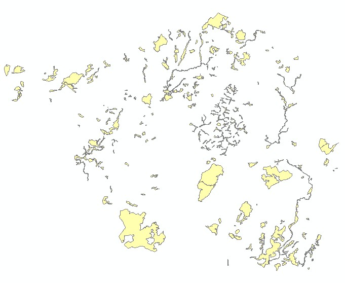
LAPRO2009 - FFH-Gebiete
Im Landschaftsprogramm Saarland werden die FFH-Gebiete nachrichtlich dargestellt (Stand: Juni 2009).
|
|
Citation proposal
(2009) . LAPRO2009 - FFH-Gebiete. https://gdk.gdi-de.org/geonetwork/srv/api/records/d8b4bf0b-3557-4255-b908-70a9a84c7e8d |
INSPIRE
Identification
- File identifier
- d8b4bf0b-3557-4255-b908-70a9a84c7e8d XML
- Hierarchy level
- Dataset
Online resource
Resource identifier
- Metadata language
- German
- Spatial representation type
- Vector
Encoding
- Format
- Esri Shape
- Version
- 1.0
Projection
Classification of data and services
- Topic category
-
- Planning cadastre
Classification of data and services
Coupled resource
Coupled resource
Classification of data and services
Coupled resource
Coupled resource
Keywords
- GEMET - INSPIRE themes, version 1.0 ( Theme )
-
- Bodennutzung
- GEMET - Concepts, version 2.4 ( Theme )
-
- Planungsunterlagen/Kataster
- Spatial scope ( Stratum )
-
- Regional
Other keywords
- Keywords ( Place )
-
- Saarland
Geographic coverage
N
S
E
W
))
Temporal reference
Temporal extent
Temporal extent
- Date ( Creation )
- 2009-06-15
- Date ( Publication )
- 2009-06-15
Quality and validity
- Lineage
- Nachrichtliche Übernahme. MUKMAV
- Denominator
- 25000
Conformity
Conformity
Conformity
Conformity
Conformity
Conformity
Restrictions on access and use
- Access constraints
- Die Daten unterliegen dem Urheberrecht. Jede Vervielfältigung bedarf einer Genehmigung. Die Nutzung für kommerzielle Zwecke ist nicht gestattet. Ein Quellenvermerk ist stets und bei jedweder Art der Nutzung erforderlich. Das LVGL übernimmt keine Haftung für die Vollständigkeit und die Fehlerfreiheit der Geofachdaten. Insbesondere übernimmt das LVGL keine Gewähr dafür, dass die Geofachdaten den Anforderungen und Zwecken des Nutzers genügen. Die Verantwortung für die richtige Auswahl und die Folgen der Benutzung der Geofachdaten sowie der damit beabsichtigten oder erzielten Ergebnisse trägt der Nutzer. Des Weiteren verweisen wir auf die geltenden Nutzungsbedingungen für Geofachdaten des Landesamtes für Vermessung, Geoinformation und Landentwicklung (LVGL). https://www.shop.lvgl.saarland.de/cloud/index.php/s/Nutzungsbedingungen_Geofachdaten#pdfviewer
Restrictions on access and use
Responsible organization (s)
Contact for the resource
- Organisation name
- Ministerium für Umwelt, Klima, Mobilität, Agrar und Verbraucherschutz
- Organisation name
- Ministerium für Umwelt, Klima, Mobilität, Agrar und Verbraucherschutz
Responsible organization (s)
Contact for the resource
- Organisation name
- Ministerium für Umwelt, Klima, Mobilität, Agrar und Verbraucherschutz
- Organisation name
- Ministerium für Umwelt, Klima, Mobilität, Agrar und Verbraucherschutz
Metadata information
Contact for the metadata
- Organisation name
- Ministerium für Umwelt, Klima, Mobilität, Agrar und Verbraucherschutz
- Date stamp
- 2023-10-19
- Metadata language
- German
- Character set
- UTF8
SDS
Conformance class 1: invocable
Access Point URL
Endpoint URL
Technical specification
Conformance class 2: interoperable
Coordinate reference system
Quality of Service
Access constraints
Limitation
Use constraints
Limitation
Responsible custodian
Contact for the resource
Conformance class 3: harmonized
Overviews
LAPRO2009 - FFH-Gebiete
Provided by

Views
d8b4bf0b-3557-4255-b908-70a9a84c7e8d
Access to the portal
Read here the full details and access to the data.
Associated resources
Not available