 www.geodatenkatalog.de (S1L)
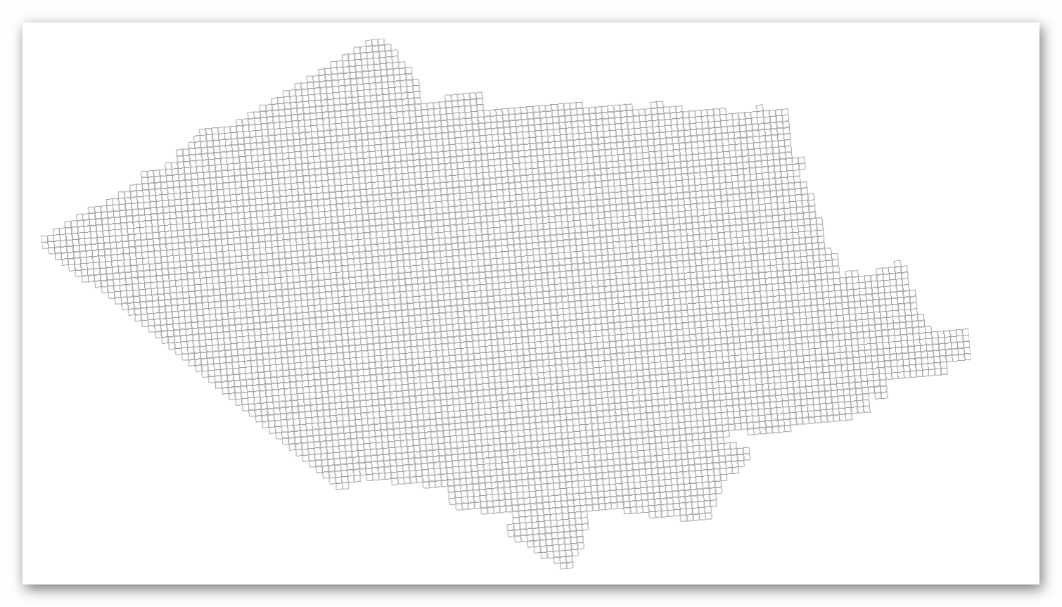
Einwohner-UTM-Raster Willich
UTM-Gitternetze in 100m Auflösung mit der Anzahl Einwohner für die Stadt Willich. Werte von 1 bis 4 werden zum Zwecke der Anonymisierung in den Vektorformaten als "NULL" angegeben.
Aktualisierung jährlich mit dem Stichtag 01.01.
|
|
Citation proposal
. Einwohner-UTM-Raster Willich. Kreis Viersen https://gdk.gdi-de.org/geonetwork/srv/api/records/e64b8e46-1072-43e0-88f3-2dfa07c86c10 |
INSPIRE
Identification
- File identifier
- e64b8e46-1072-43e0-88f3-2dfa07c86c10 XML
- Hierarchy level
- dataset Dataset
Online resource
Resource identifier
- Metadata language
- German
Encoding
Projection
Classification of data and services
- Topic category
-
- Planning cadastre
Classification of data and services
Coupled resource
Coupled resource
Classification of data and services
Coupled resource
Coupled resource
Keywords
Other keywords
- Keywords
-
- Willich
- 05166000
- Gitter
- Gitternetz
- Koordinatengitter
- Laea
- Statistik
- Einwohner
- Bevölkerung
- EWO
- opendata
- Keywords ( Theme )
-
- REGI
Geographic coverage
N
S
E
W
))
Temporal reference
Temporal extent
Temporal extent
- Date ( Creation )
- 2025-02-05T00:00:00.000+01:00
Quality and validity
- Lineage
- Der Statistikdatensatz Bevölkerungsbestand (KOSIS-DST) wurde mit den Adressdaten des WFS https://geodatenkatalog-niederrhein.de/trefferanzeige?docuuid=3c6a714b-2f64-476d-ab58-31c8d5833742 georeferenziert. Anschließend wurde die Anzahl Einwohner je Gitterzelle ermittelt.
Conformity
Conformity
Conformity
Conformity
Conformity
Conformity
Restrictions on access and use
- Access constraints
- Datenlizenz Deutschland - Zero - Version 2.0 [https://www.govdata.de/dl-de/zero-2-0]
- Access constraints
- {"id":"dl-zero-de/2.0","name":"Datenlizenz Deutschland – Zero – Version 2.0","url":"https://www.govdata.de/dl-de/zero-2-0","quelle":""}
Restrictions on access and use
Responsible organization (s)
Contact for the resource
- Organisation name
- Kreis Viersen - Amt 10/2 - Abgeschottete Statistikstelle
- Organisation name
- Kreis Viersen - Amt 62/1 - Geobasisdaten und GIS
- open@kreis-viersen.de
- Organisation name
- Kreis Viersen
- open@kreis-viersen.de
Responsible organization (s)
Contact for the resource
- Organisation name
- Kreis Viersen - Amt 10/2 - Abgeschottete Statistikstelle
- Organisation name
- Kreis Viersen - Amt 62/1 - Geobasisdaten und GIS
- open@kreis-viersen.de
- Organisation name
- Kreis Viersen
- open@kreis-viersen.de
Metadata information
Contact for the metadata
- Organisation name
- Kreis Viersen - Amt 62/1 - Geobasisdaten und GIS
- open@kreis-viersen.de
- Date stamp
- 2025-08-14
- Metadata language
- German
SDS
Conformance class 1: invocable
Access Point URL
Endpoint URL
Technical specification
Conformance class 2: interoperable
Coordinate reference system
Quality of Service
Access constraints
Limitation
Use constraints
Limitation
Responsible custodian
Contact for the resource
Conformance class 3: harmonized
Overviews
Einwohner UTM Raster
Provided by

Views
e64b8e46-1072-43e0-88f3-2dfa07c86c10
Access to the portal
Read here the full details and access to the data.
Associated resources
Not available