 www.geodatenkatalog.de (S2F)
WFS Geographische Namen GN-DE
Dieser Downloaddienst dient zur Suche Geographischer Namen Deutschlands in komplexer Datenmodellierung.
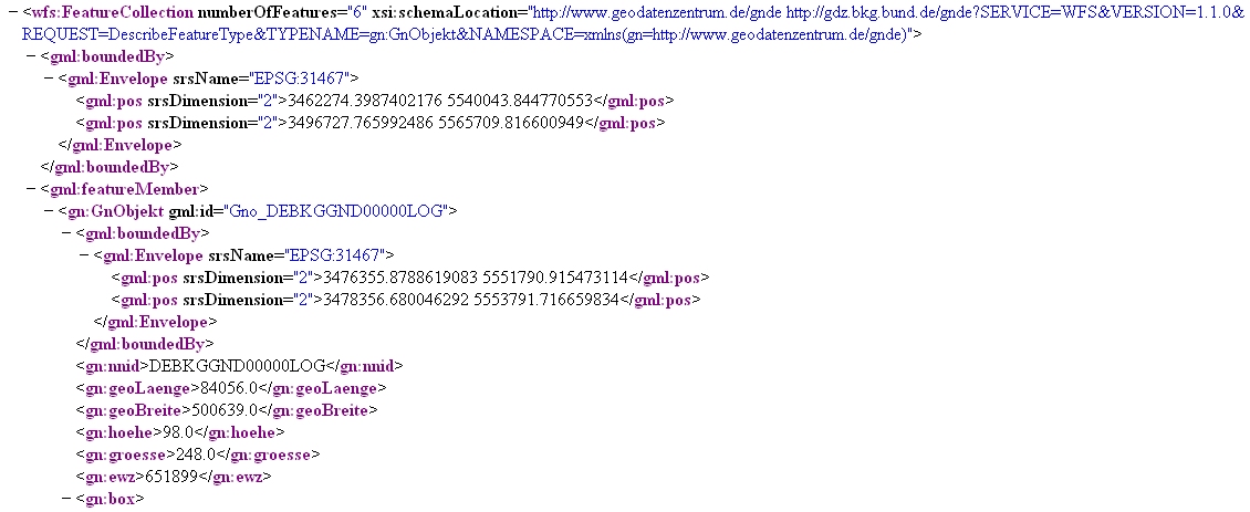
Der Datensatz GN-DE beinhaltet im Wesentlichen alle mit Namen bezeichneten geographischen Objekte Deutschlands, die in dem Digitalen Landschaftsmodell 1:250 000 des ATKIS enthalten sind bzw. in topographischen Karten des Maßstabsbereichs 1:200 000 und kleiner dargestellt werden.
Hauptobjekte sind Orte und Ortsteile, Verwaltungsgebiete (z.B. Kreise, Gemeinden), Landschaften, Gebirge, Inseln, Berge, Flüsse, Kanäle, Seen, Meere und ähnliches. Die dazugehörigen Attribute sind Namen, administrative Gliederung (statistische Schlüsselzahl), Höhe, Flusssystem (gewässerkundliche Gebietskennzahl) und naturräumliche Haupteinheit (Leitzahl). Die Lage der Objekte wird jeweils als Punktgeometrie über eine einzelne Koordinate und über kleinste umschreibende Rechtecke (Bounding Boxes) beschrieben.
Die urheberrechtlich geschützten Daten werden kostenfrei unter Datenlizenz Deutschland Namensnennung 2.0 zur Verfügung gestellt.
|
|
Citation proposal
. WFS Geographische Namen GN-DE. https://gdk.gdi-de.org/geonetwork/srv/api/records/f1fe5b66-25d6-44c7-b26a-88625aca9573 |
INSPIRE
Identification
- File identifier
- f1fe5b66-25d6-44c7-b26a-88625aca9573 XML
- Hierarchy level
- service Service
Online resource
Resource identifier
Encoding
- Format
- GML
- Version
- 2.1.2
- Format
- GML
- Version
- 3.0
- Format
- GML
- Version
- 3.1.1
- Format
- GML
- Version
- 3.2.1
Projection
Classification of data and services
Classification of data and services
- Service Type
- download
- Coupling Type
- Tight
Coupled resource
Coupled resource
Classification of data and services
- Service Type
- download
- Coupling Type
- Tight
Coupled resource
Coupled resource
Keywords
- Service Classification, version 1.0 ( Theme )
-
- infoFeatureAccessService
Other keywords
- Keywords
-
- Geographische Namen
- BKG
- GN-DE
- WFS
- DownloadService
- infoFeatureAccessService
- Bundesamt für Kartographie und Geodäsie
- Deutschland
- Keywords
-
- AdVMIS
Geographic coverage
))
Temporal reference
Temporal extent
Temporal extent
- Date ( Creation )
- 2011-06-28T00:00:00.000+02:00
Quality and validity
Conformity
Conformity
Conformity
Conformity
Conformity
Conformity
- Explanation
- see the referenced specification
Restrictions on access and use
Restrictions on access and use
- Access constraints
- Die Daten sind urheberrechtlich geschützt. Die Daten werden geldleistungsfrei gemäß der Datenlizenz Deutschland Namensnennung 2.0 (https://www.govdata.de/dl-de/by-2-0) zur Verfügung gestellt. Die Verwendung des Datensatzes für die Pflege und Erweiterung der Daten des OpenStreetMap Projektes wird unter Einhaltung der im Ergänzungstext beschriebenen Angaben zur Namensnennung ausdrücklich erlaubt, siehe https://sgx.geodatenzentrum.de/web_public/gdz/lizenz/deu/datenlizenz_deutschland_ergaenzungstext_namensnennung.pdf. Der Quellenvermerk ist zu beachten.
- Access constraints
- Quellenvermerk: © GeoBasis-DE / BKG (Jahr)
Responsible organization (s)
Contact for the resource
- Organisation name
- Bundesamt für Kartographie und Geodäsie (BKG)
- dlz@bkg.bund.de
- Organisation name
- Bundesamt für Kartographie und Geodäsie (BKG)
- mailbox@bkg.bund.de
Responsible organization (s)
Contact for the resource
- Organisation name
- Bundesamt für Kartographie und Geodäsie (BKG)
- dlz@bkg.bund.de
- Organisation name
- Bundesamt für Kartographie und Geodäsie (BKG)
- mailbox@bkg.bund.de
Metadata information
Contact for the metadata
- Organisation name
- Bundesamt für Kartographie und Geodäsie (BKG)
- dlz@bkg.bund.de
- Date stamp
- 2025-06-03
- Metadata language
- German
SDS
Conformance class 1: invocable
- Pass
- true
Access Point URL
Endpoint URL
Technical specification
- Date
- Explanation
- see the referenced specification
Conformance class 2: interoperable
Coordinate reference system
Quality of Service
Access constraints
- Access constraints
- otherRestrictions Other restrictions
Limitation
Use constraints
Limitation
- string
- Die Daten sind urheberrechtlich geschützt. Die Daten werden geldleistungsfrei gemäß der Datenlizenz Deutschland Namensnennung 2.0 (https://www.govdata.de/dl-de/by-2-0) zur Verfügung gestellt. Die Verwendung des Datensatzes für die Pflege und Erweiterung der Daten des OpenStreetMap Projektes wird unter Einhaltung der im Ergänzungstext beschriebenen Angaben zur Namensnennung ausdrücklich erlaubt, siehe https://sgx.geodatenzentrum.de/web_public/gdz/lizenz/deu/datenlizenz_deutschland_ergaenzungstext_namensnennung.pdf. Der Quellenvermerk ist zu beachten.
- string
- Quellenvermerk: © GeoBasis-DE / BKG (Jahr)
Responsible custodian
Contact for the resource
Conformance class 3: harmonized
Contains Operations
- Operation Name
- DescribeFeatureType
- Distributed Computing Platforms
- HTTPGet
- Distributed Computing Platforms
- HTTPPost
- Connect Point
- https://sgx.geodatenzentrum.de/wfs_gnde
Contains Operations
- Operation Name
- GetCapabilities
- Distributed Computing Platforms
- HTTPGet
- Distributed Computing Platforms
- HTTPPost
- Invocation Name
- https://sgx.geodatenzentrum.de/wfs_gnde?REQUEST=GetCapabilities
Contains Operations
- Operation Name
- GetFeature
- Distributed Computing Platforms
- HTTPGet
- Distributed Computing Platforms
- HTTPPost
- Connect Point
- https://sgx.geodatenzentrum.de/wfs_gnde
Overviews
Provided by
