 www.geodatenkatalog.de (S3L)
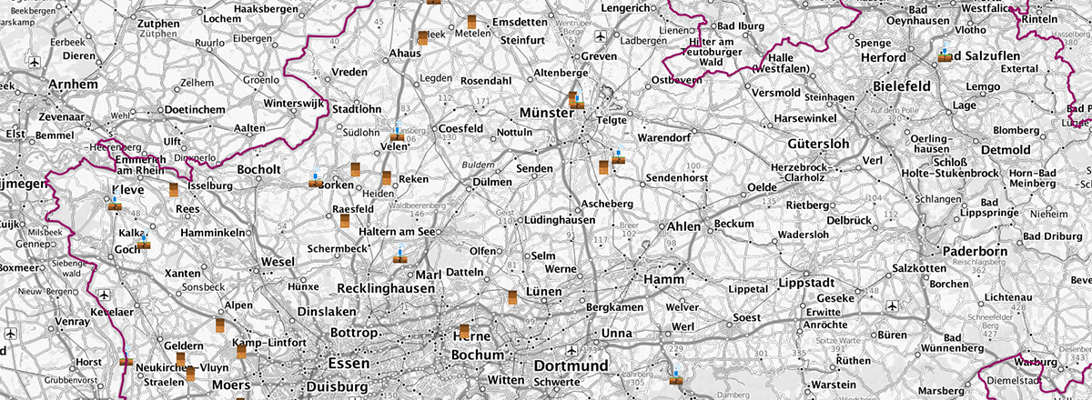
IS POI Boden von NRW - WMS
Points of Interest (Punkte von Interesse) beinhalten bodenkundliche Punktdaten des Geologischen Diensts NRW. Der WMS stellt Entnahmepunkte von Lackprofilen und die Standorte der Bodenfeuchte-Messstationen bereit. Als Links angebunden sind ausführliche Lackprofilbeschreibungen und tagesaktuelle Messwerte der Bodenfeuchte-Messstationen.
|
|
Citation proposal
Geodaten (Geologischer Dienst NRW) (2020) . IS POI Boden von NRW - WMS. https://gdk.gdi-de.org/geonetwork/srv/api/records/ff94c960-3eb1-49e4-a21a-433a72d3ffbd |
INSPIRE
Identification
- File identifier
- ff94c960-3eb1-49e4-a21a-433a72d3ffbd XML
- Hierarchy level
- Service
Online resource
Resource identifier
Encoding
Projection
Classification of data and services
Classification of data and services
- Service Type
- view
- Coupling Type
- Tight
Coupled resource
Coupled resource
Classification of data and services
- Service Type
- view
- Coupling Type
- Tight
Coupled resource
Coupled resource
Keywords
- OGDD-Kategorien
-
- geo
Other keywords
- Keywords ( Discipline )
-
- Boden
- Punktdaten
- Lackprofile
- Bodenfeuchte-Messstationen
- Soil
Geographic coverage
N
S
E
W
))
Temporal reference
Temporal extent
Temporal extent
- Date ( Publication )
- 2020-09-16
- Date ( Revision )
- 2023-07-21
Quality and validity
Conformity
Conformity
Conformity
Conformity
Conformity
Conformity
Restrictions on access and use
Restrictions on access and use
- Access constraints
- Präsentationen und Vervielfältigungsstücke müssen deutlich sichtbar folgenden Genehmigungsvermerk zeigen: © Geowissenschaftliche Daten: @ Geologischer Dienst NRW, Jahr des Abrufs. Die geowissenschaftlichen Daten stellt der Geologische Dienst als OpenData zur Verfügung unter der "Datenlizenz Deutschland Namensnennung 2.0".
Responsible organization (s)
Contact for the resource
- Organisation name
- Geologischer Dienst NRW
- geodaten@gd.nrw.de
Responsible organization (s)
Contact for the resource
- Organisation name
- Geologischer Dienst NRW
- geodaten@gd.nrw.de
Metadata information
Contact for the metadata
- Organisation name
- Geologischer Dienst NRW
- metadaten@gd.nrw.de
- Date stamp
- 2025-10-24
SDS
Conformance class 1: invocable
Access Point URL
Endpoint URL
Technical specification
Conformance class 2: interoperable
Coordinate reference system
Quality of Service
Access constraints
Limitation
- string
- Präsentationen und Vervielfältigungsstücke müssen deutlich sichtbar folgenden Genehmigungsvermerk zeigen: © Geowissenschaftliche Daten: @ Geologischer Dienst NRW, Jahr des Abrufs. Die geowissenschaftlichen Daten stellt der Geologische Dienst als OpenData zur Verfügung unter der "Datenlizenz Deutschland Namensnennung 2.0".
Use constraints
Limitation
Responsible custodian
Contact for the resource
Conformance class 3: harmonized
Contains Operations
- Operation Name
- GetCapabilities
- Distributed Computing Platforms
- Web services
- Connect Point
- https://www.wms.nrw.de/gd/poi_boden?
Contains Operations
- Operation Name
- GetMap
- Distributed Computing Platforms
- Web services
- Connect Point
- https://www.wms.nrw.de/gd/poi_boden?
Contains Operations
- Operation Name
- GetFeatureInfo
- Distributed Computing Platforms
- Web services
- Connect Point
- https://www.wms.nrw.de/gd/poi_boden?
Overviews
Provided by

Views
ff94c960-3eb1-49e4-a21a-433a72d3ffbd
Access to the portal
Read here the full details and access to the data.
Associated resources
Not available