 www.geodatenkatalog.de (S1L)
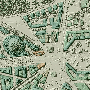
DOM - Digitales Oberflächenmodell
Das digitale Oberflächenmodell (DOM) beschreibt höhenmäßig die Erdoberfläche mit allen natürlichen (z. B. Vegetation) und künstlichen Objekten (z. B. Bauwerke). Das DOM liegt in Form eines gleichmäßigen Rasters mit einer Rasterweite von 1m im Blattschnitt 2km x 2km vor. In das Land Brandenburg reicht ein Buffer von ca. 250m.
|
|
Citation proposal
. DOM - Digitales Oberflächenmodell. https://gdk.gdi-de.org/geonetwork/srv/api/records/ffa05de2-fd1e-4b70-b5b2-3e53e52f47ea |
- Identification
- Distribution
- Quality
- Spatial rep.
- Ref. system
- Content
- Portrayal
- Metadata
- Md. constraints
- Md. maintenance
- Schema info
Identification
Data identification
Citation
- Date ( Creation )
- 2021-07-13
Point of contact
Processor
- Keywords ( Theme )
-
- open data
- opendata
- AdVMIS
- Geodaten
- Berlin
- DOM
- ATKIS
- Topographie
- Topografie
- topographisch
- topografisch
- Höhenmodell
- Spatial scope
Legal constraints
- Access constraints
- Other restrictions
Legal constraints
- Use constraints
- Other restrictions
- Other constraints
- Für die Nutzung der Daten ist die Datenlizenz Deutschland - Zero - Version 2.0 anzuwenden. Die Lizenz ist über https://www.govdata.de/dl-de/zero-2-0 abrufbar.
- Other constraints
- { "id": "dl-zero-de/2.0" , "name": "Datenlizenz Deutschland - Zero - Version 2.0", "url": "https://www.govdata.de/dl-de/zero-2-0" }
- Spatial representation type
- Vector
- Distance
- 1.0 metres
- Metadata language
- German
- Character set
- UTF8
- Topic category
-
- Elevation
N
S
E
W
))
Distribution
Distribution
- Distribution format
-
-
Text/HTML
(4.01 )
- Specification
- Keine Angabe
-
Text/HTML
(4.01 )
Digital transfer options
- OnLine resource
-
Darstellung der Daten im Geoportal Berlin
Darstellung der Daten im Geoportal Berlin
- OnLine resource
-
Darstellungsdienst - DOM - Digitales Oberflächenmodell (WMS)
Darstellungsdienst - DOM - Digitales Oberflächenmodell (WMS)
- OnLine resource
-
Downloaddienst - DOM - Digitales Oberflächenmodell (Atom)
Downloaddienst - DOM - Digitales Oberflächenmodell (Atom)
Quality
Data quality
- Hierarchy level
- Dataset
- Statement
- Daten aus der Berliner Verwaltung
Ref. system
- Reference system identifier
- http://www.opengis.net/def/crs/EPSG/0/25833
Metadata
Metadata
- File identifier
- ffa05de2-fd1e-4b70-b5b2-3e53e52f47ea XML
- Metadata language
- German
- Character set
- UTF8
- Hierarchy level
- Dataset
- Date stamp
- 2025-05-07T15:02:19
- Metadata standard name
- ISO 19115/19119 ? BE
- Metadata standard version
- 1.0.0
Overviews
Provided by

Views
ffa05de2-fd1e-4b70-b5b2-3e53e52f47ea
Access to the portal
Read here the full details and access to the data.
Associated resources
Not available