My GeoNetwork catalogue
Search
Map
Sign in
Search
Keyword
flood
17 record(s)
Provided by
MDI-DE
(2)
BKG-InGrid
(3)
Nordrhein-Westfalen
(12)
Type of resources
Dataset
(8)
Service
(5)
service-view
(5)
application
(2)
Software
(2)
Available actions
Viewable
(13)
Topics
Planning cadastre
(7)
Geoscientific information
(2)
Environment
(1)
Society
(1)
Elevation
(1)
Keywords
flood
(17)
simulation
(11)
Planning cadastre
(7)
rain
(2)
flood hazard
(2)
flood forecast
(2)
flood risk management
(2)
application
(2)
Draining Water
(2)
lunar events
(2)
rain radar
(2)
Rising Water
(2)
solar events
(2)
warning areas
(2)
water level forecast
(2)
Contact for the resource
Federal Maritime and Hydrographic Agency (BSH)
(2)
Update frequencies
As needed
(13)
Not planned
(2)
Irregular
(1)
Service types
view
(5)
From
1
-
10
/
17
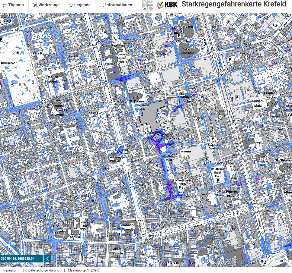
Geoportal Starkregengefahrenkarte Krefeld
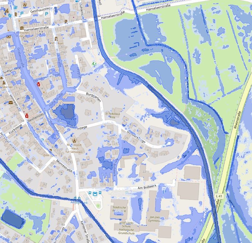
WMS Starkregen Kalkar
WMS Starkregen Bedburg-Hau
WMS Starkregen Rees
Starkregen Uedem T30a
Starkregen Kalkar hN=90mm
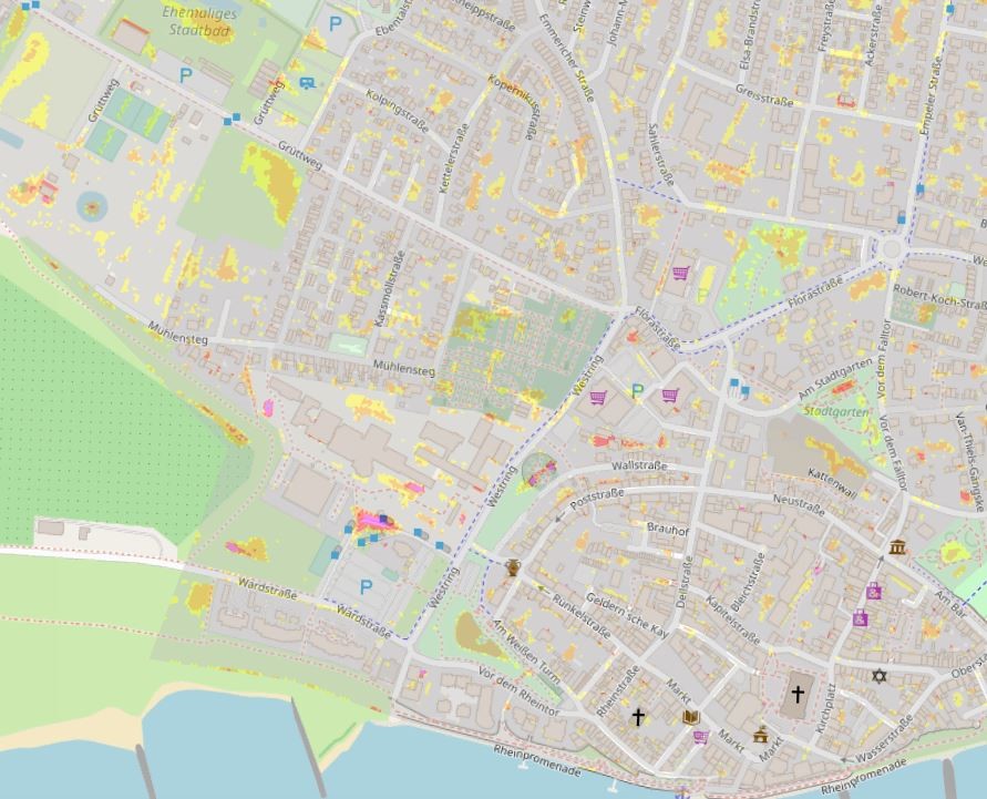
Starkregen Bedburg-Hau
Hochwasseratlas
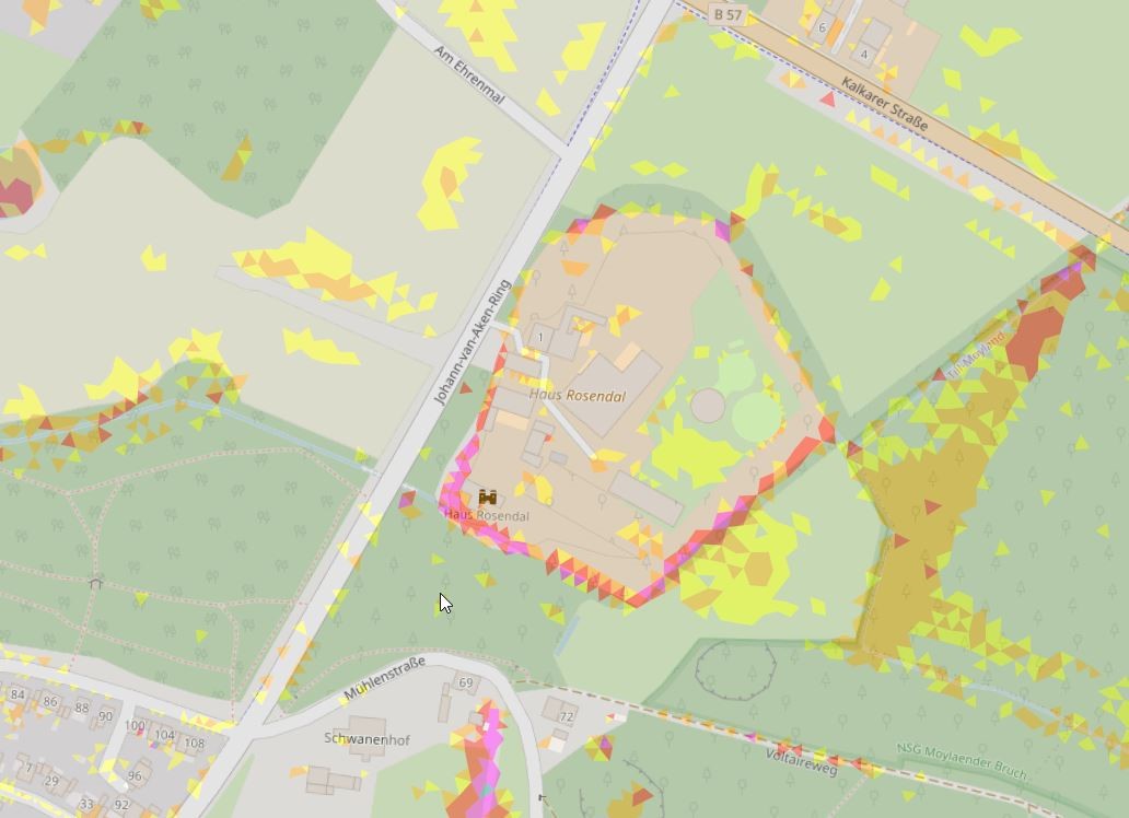
WMS Starkregen Uedem
Starkregen Rees
About
Github
 My GeoNetwork catalogue