 www.geodatenkatalog.de (S1L)
Bebauungsplanverfahren in Berlin
Der Datenbestand umfasst den Gesamtbestand aller Bebauungsplanverfahren in Berlin, differenziert nach den Verfahrensständen: im Verfahren, festgesetzt und außer Kraft gesetzt. Es werden alle einfachen, qualifizierten und vorhabenbezogenen Bebauungspläne abgebildet.
|
|
Citation proposal
. Bebauungsplanverfahren in Berlin. https://gdk.gdi-de.org/geonetwork/srv/api/records/38b5dc12-0388-3847-b6d4-193b850c2b95 |
- Identification
- Distribution
- Quality
- Spatial rep.
- Ref. system
- Content
- Portrayal
- Metadata
- Md. constraints
- Md. maintenance
- Schema info
Identification
Data identification
Citation
- Date ( Creation )
- 2004-05-03
Point of contact
Point of contact
- Maintenance and update frequency
- Fortnightly
- Keywords ( Theme )
-
- inspireidentifiziert
- open data
- opendata
- Karten
- Sachdaten
- Geodaten
- Berlin
- Geltungsbereiche
- Bebauungsplan
- Bplan
- Bpläne
- B-Plan
- B-Pläne
- VB-Plan
- VB-Pläne
- GEMET - INSPIRE themes, version 1.0 ( Theme )
-
- Bodennutzung
- Räumlicher Anwendungsbereich ( Theme )
Legal constraints
- Access constraints
- Other restrictions
Legal constraints
- Use constraints
- Other restrictions
- Other constraints
- Für die Nutzung der Daten ist die Datenlizenz Deutschland - Zero - Version 2.0 anzuwenden. Die Lizenz ist über https://www.govdata.de/dl-de/zero-2-0 abrufbar.
- Other constraints
- {"id":"dl-zero-de/2.0","name":"Datenlizenz Deutschland - Zero - Version 2.0","url":"https://www.govdata.de/dl-de/zero-2-0"}
- Spatial representation type
- Vector
- Denominator
- 5000
- Metadata language
- German
- Character set
- UTF8
- Topic category
-
- Planning cadastre
Extent
N
S
E
W
))
Geographic description
- Extent type code
- true
- Geographic identifier
- 110000000000
Distribution
Distribution
- Distribution format
-
-
Text/HTML
(4.01 )
- Specification
- Keine Angabe
-
Text/HTML
(4.01 )
- OnLine resource
-
Darstellungsdienst - Bebauungsplanverfahren in Berlin (WMS)
Darstellungsdienst - Bebauungsplanverfahren in Berlin (WMS)
- OnLine resource
-
Downloaddienst - Bebauungsplanverfahren in Berlin (WFS)
Downloaddienst - Bebauungsplanverfahren in Berlin (WFS)
- OnLine resource
-
Inhaltliche Beschreibung
Inhaltliche Beschreibung
- OnLine resource
-
Technische Beschreibung
Technische Beschreibung
Quality
Data quality
- Hierarchy level
- Dataset
Conformance result
Citation
- Date ( Publication )
- 2010-12-08
- Explanation
- see referenced specification
- Pass
- false
Lineage
- Statement
- Fachanwendung "Übersichtskarte Geltungsbereiche Berlin" (ÜGB) der Senatsverwaltung für Stadtentwicklung, Bauen und Wohnen Berlin
- Description
- Fachanwendung "Übersichtskarte Geltungsbereiche Berlin" (ÜGB) der Senatsverwaltung für Stadtentwicklung, Bauen und Wohnen Berlin
Ref. system
- Reference system identifier
- http://www.opengis.net/def/crs/EPSG/0/25833
Metadata
Metadata
- File identifier
- 38b5dc12-0388-3847-b6d4-193b850c2b95 XML
- Metadata language
- German
- Character set
- UTF8
- Hierarchy level
- Dataset
- Date stamp
- 2025-11-19T00:00:00Z
- Metadata standard name
- ISO 19115/19119 - BE
- Metadata standard version
- 1.0.0
Point of contact
Overviews
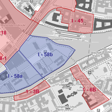
Vorschaubild
Provided by

Views
38b5dc12-0388-3847-b6d4-193b850c2b95
Access to the portal
Read here the full details and access to the data.
Associated resources
Not available