 My GeoNetwork catalogue
LISS-IV
Provided by
Type of resources
Topics
Keywords
Contact for the resource
Update frequencies
-
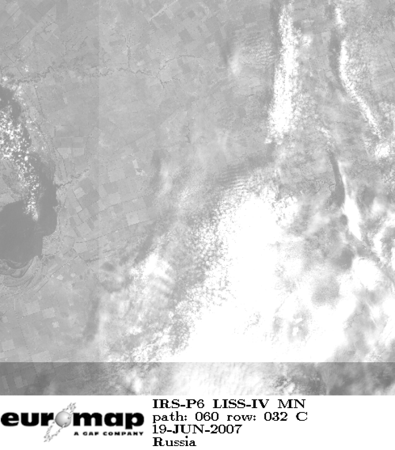
Indian Remote Sensing satellites (IRS) are a series of Earth Observation satellites, built, launched and maintained by Indian Space Research Organisation. The IRS series provides many remote sensing services to India and international ground stations. With 5 m resolution and products covering areas up to 70 km x 70 km IRS LISS-IV mono data provide a cost effective solution for mapping tasks up to 1:25'000 scale.
-
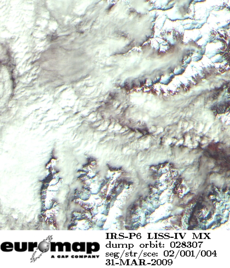
Indian Remote Sensing satellites (IRS) are a series of Earth Observation satellites, built, launched and maintained by Indian Space Research Organisation. The IRS series provides many remote sensing services to India and international ground stations. With 5 m resolution and products covering areas up to 23.5 km x 23.5 km IRS LISS-IV multispectral data provide a cost effective solution for mapping tasks up to 1:25'000 scale.
-
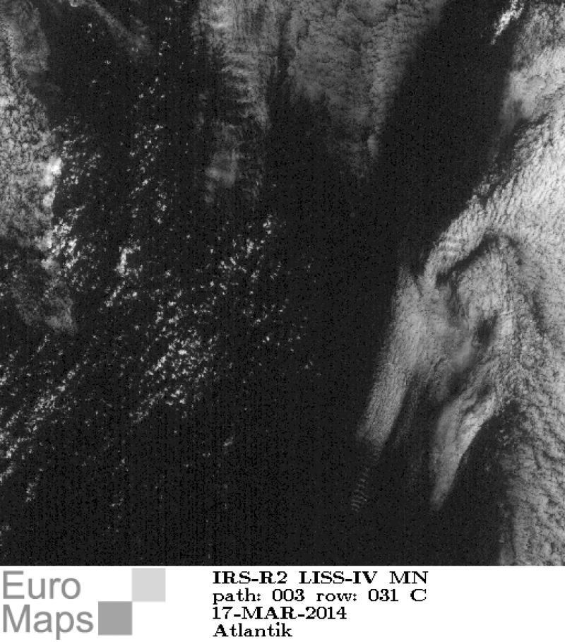
Indian Remote Sensing satellites (IRS) are a series of Earth Observation satellites, built, launched and maintained by Indian Space Research Organisation. The IRS series provides many remote sensing services to India and international ground stations. With 5 m resolution and products covering areas up to 70 km x 70 km IRS LISS-IV mono data provide a cost effective solution for mapping tasks up to 1:25'000 scale.
-
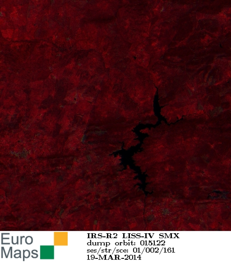
Indian Remote Sensing satellites (IRS) are a series of Earth Observation satellites, built, launched and maintained by Indian Space Research Organisation. The IRS series provides many remote sensing services to India and international ground stations. With 5 m resolution and products covering areas up to 23.5 km x 23.5 km IRS LISS-IV multispectral data provide a cost effective solution for mapping tasks up to 1:25'000 scale.