 My GeoNetwork catalogue
Keyword
Urban Heat Islands
Provided by
Type of resources
Topics
Keywords
Contact for the resource
Update frequencies
From
1
-
1
/
1
-
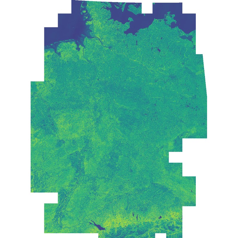
This dataset includes the normalized difference vegetation index (NDVI) derived from Sentinel-2 imagery. Using the Google Earth Engine, all granules with a cloud cover below 60% were used as input. Cloudy pixels (referring to quality layer QA60) were masked as well. Eventually, a median mosaic was composed over the whole observation period. It was also used as input for a land cover classification (see: Land Cover DE - Sentinel-2 - Germany, 2015).