My GeoNetwork catalogue
Search
Map
Sign in
Search
Keyword
digitising
3 record(s)
Provided by
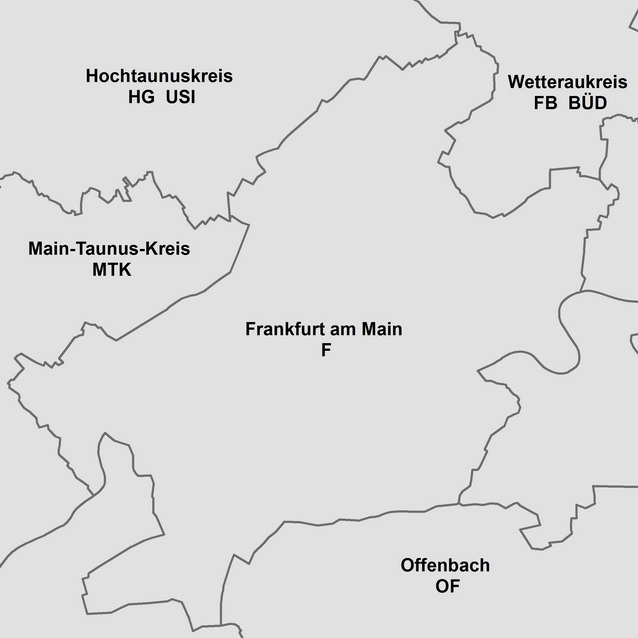
Hamburg
(1)
BKG-InGrid
(1)
Nordrhein-Westfalen
(1)
Type of resources
Dataset
(2)
application
(1)
Topics
Transportation
(1)
Boundaries
(1)
Imagery base maps earth cover
(1)
Elevation
(1)
Keywords
digitising
(3)
altitude
(1)
Transportation
(1)
Boundaries
(1)
Elevation
(1)
Imagery base maps earth cover
(1)
building
(1)
urban development
(1)
planning
(1)
planning law
(1)
province
(1)
municipality
(1)
Update frequencies
Continual
(1)
As needed
(1)
Annually
(1)
From
1
-
3
/
3
Kommunale Topographie Krefeld
3DProjektplaner
KFZ-Kennzeichen 1:250 000
About
Github
 My GeoNetwork catalogue