My GeoNetwork catalogue
Keyword
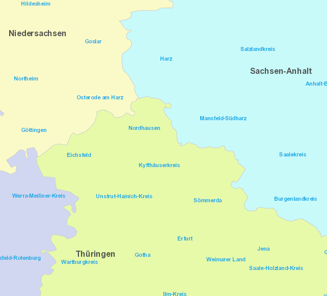
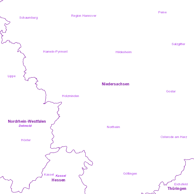
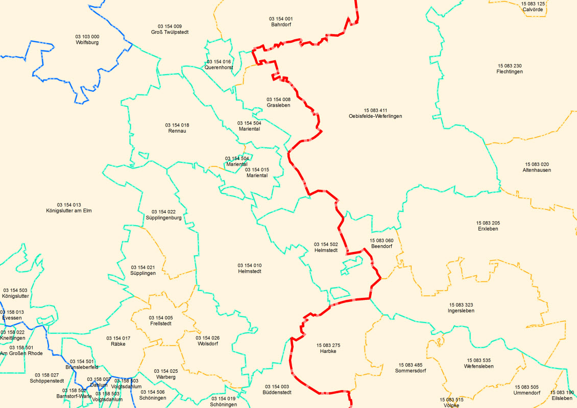
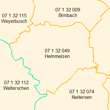
municipality
Provided by
Type of resources
Available actions
Topics
Keywords
Update frequencies
Service types
From
1
-
10
/
27