 My GeoNetwork catalogue
Deutscher Wetterdienst
Provided by
Type of resources
Available actions
Topics
Keywords
Contact for the resource
Update frequencies
Service types
-

Accumulated radar data (RADOLAN SF product) added up to 30 days. Data only within Germany. Refresh interval: daily
-
Web Map Service of Deutscher Wetterdienst for climate data
-
The warning messages contain information about records from Voluntary Observing Ships (VOS) with unusable or incomplete entries for which a quality assessment cannot be performed. The file contains text information and, in the case of inconsistencies in the meteorological data, the relevant message is added in IMMT format.
-
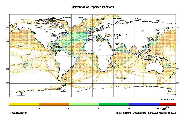
The raw data files contain all delayed mode weather reports from Voluntary Observing Ships (VOS) that were sent to the Voluntary Observing Ship Global Data Assembly Centres (VOS-GDACs). Quality control has been carried out in the country of origin, but verification by the VOS-GDACs has not yet taken place.
-
Mqc data files contain all worldwide weather reports of the Voluntary Observing Ships (VOS) that are internationally exchanged via the Voluntary Observing Ship Global Data Assembly Centres (VOS-GDACs) on a quarterly basis. This delayed mode data is checked according to the Minimum Quality Control Standard (MQCS) and provided with quality control indicators, the flags. The data format is International Maritime Meteorological Tape (IMMT) and from 2010 on also International Maritime Meteorological Archive (IMMA).
-
Dregs data are part of the worldwide weather reports of the Voluntary Observing Ships (VOS) that are internationally exchanged via the Voluntary Observing Ship Global Data Assembly Centres (VOS-GDACs) on a quarterly basis. The dregs files contain records that were rejected during the quality check. This is mostly related to duplicate messages. The data format is International Maritime Meteorological Tape (IMMT) and from 2010 on also International Maritime Meteorological Archive (IMMA).
-
Annual lists containing information about the international data contributions to the Voluntary Observing Ship Global Data Assembly Centres (VOS-GDACs).
-
The QWMM98 TTAAii Data Designators decode as: T1 (Q): Pictorial information regional (Binary coded) T1T2 (QW): Wind A2 (M): 36 hours forecast T1ii (Q98): Air priorities for the Earth's surface (Remarks from Volume-C: (COSEU) Wind 10 m H+30,+36 (gpv))
-
The ULDL11 TTAAii Data Designators decode as: T1 (U): Upper air data T1T2 (UL): Upper level pressure, temperature, humidity and wind (Part C) A1A2 (DL): Germany (The bulletin collects reports from stations: ) (Remarks from Volume-C: TEMP MOBIL (REPORT FROM A MOBILE LAND STATION)
-
The HTXN30 TTAAii Data Designators decode as: T1 (H): Grid point information (GRIB) T1T2 (HT): Temperature A1 (X): Global Area (area not definable) A2 (N): 108 hours forecast T1ii (H30): 300 hPa (Remarks from Volume-C: H+ 108 (GLOBAL MODEL) TEMPERATURE 300 HPA)