 My GeoNetwork catalogue
EnMAP
Provided by
Type of resources
Available actions
Topics
Keywords
Contact for the resource
Update frequencies
-
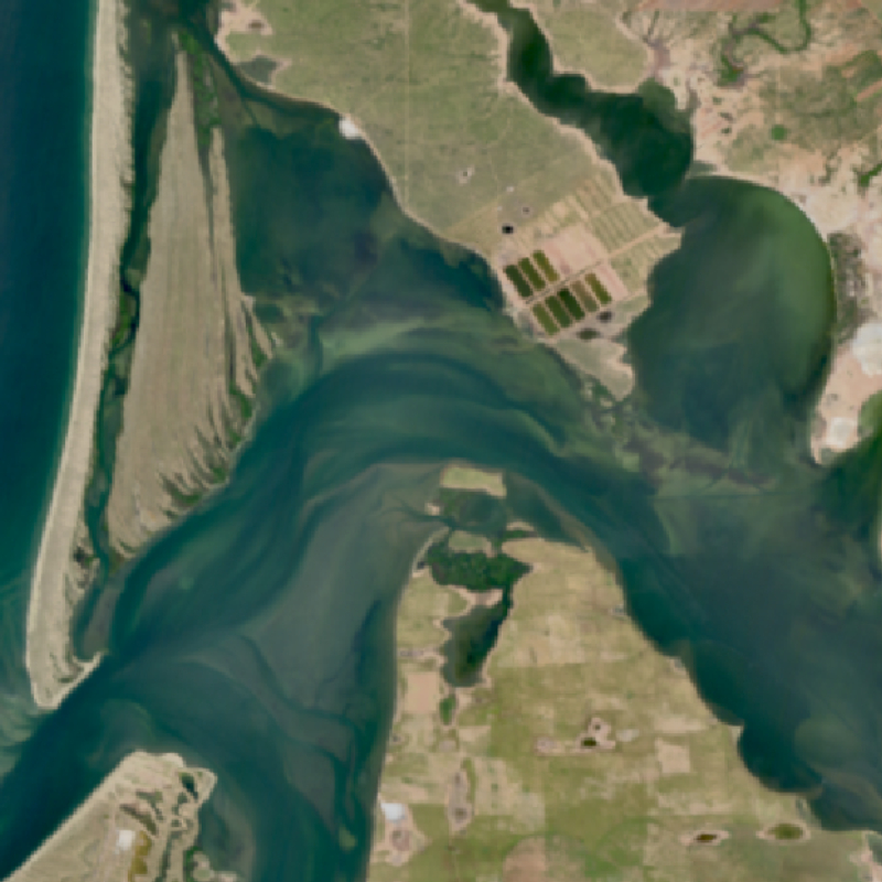
The EnMAP HSI L2A dataset collection comprises a standardized, consistent, systematically processed, and cloud-native level-2A dataset series for the entire mission. It is especially useful for big data or time series analyses. The dataset is processed with the atmospheric correction over land processor and is provided in cloud-optimized GeoTIFF format for direct access and download. The metadata follows the CEOS Analysis Ready Data (CEOS-ARD) framework. The database is constantly updated with newly acquired data. The Environmental Mapping and Analysis Program (EnMAP) is a German hyperspectral satellite mission that monitors and characterizes Earth’s environment on a global scale. EnMAP delivers accurate data that provides information on the status and evolution of terrestrial and aquatic ecosystems, supporting environmental monitoring, management, and decision-making. For more information, please see the mission website: https://www.enmap.org/mission/
-
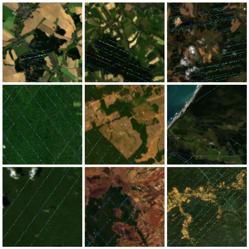
Comprehensive evaluation of geospatial foundation models (Geo-FMs) requires benchmarking across diverse tasks, sensors, and geographic regions. However, most existing benchmark datasets are limited to segmentation or classification tasks, and focus on specific geographic areas. To address this gap, we introduce a globally distributed dataset for forest aboveground biomass (AGB) estimation, a pixelwise regression task. This benchmark dataset combines co-located hyperspectral imagery (HSI) from the Environmental Mapping and Analysis Program (EnMAP) satellite and predictions of AGB density estimates derived from the global ecosystem dynamics investigation (GEDI) lidars, covering seven continental regions. Our experimental results on this dataset demonstrate that the evaluated Geo- FMs can match or, in some cases, surpass the performance of a baseline U-Net, especially when fine-tuning the encoder. By releasing this globally distributed hyperspectral benchmark dataset, we aim to facilitate the development and evaluation of Geo-FMs for HSI applications. Leveraging this dataset additionally enables research into geographic bias and the generalization capacity of Geo-FMs. Published in IEEE Geoscience and Remote Sensing Letters: https://ieeexplore.ieee.org/document/11164504.
-
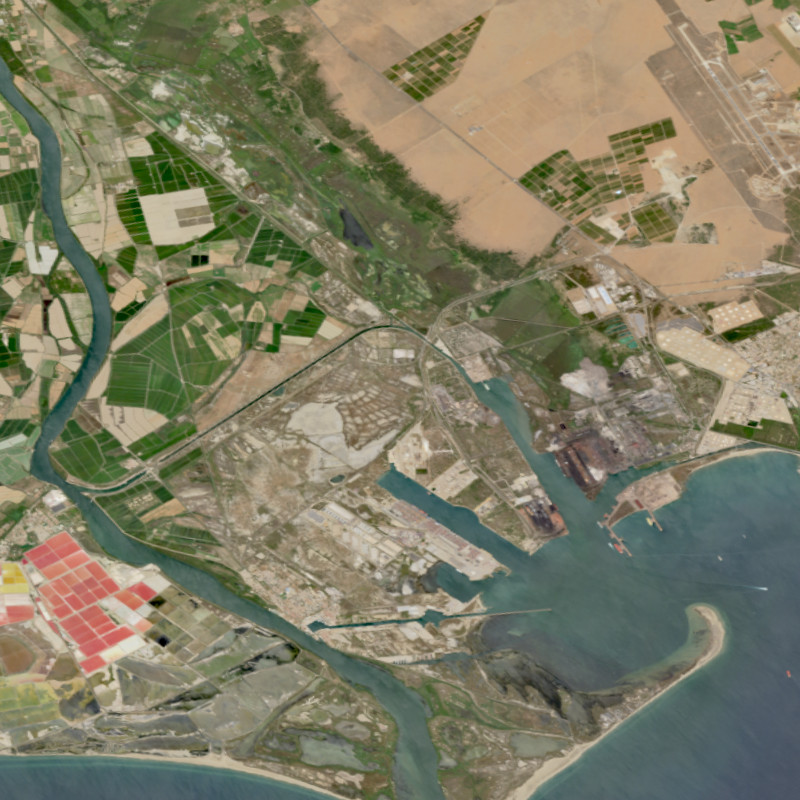
The EnMAP HSI L0 Quicklooks collection contains the VNIR and SWIR quicklook images as well as the quality masks for haze, cloud, or snow; based on the latest atmospheric correction methodology of the land processor. It allows users to get an overview which L0 data has been acquired and archived since the operational start of the EnMAP mission and which data is potentially available for on-demand processing into higher level products with specific processing parameters via the EOWEB-GeoPortal. The database is constantly updated with newly acquired L0 data. The Environmental Mapping and Analysis Program (EnMAP) is a German hyperspectral satellite mission that monitors and characterizes Earth’s environment on a global scale. EnMAP delivers accurate data that provides information on the status and evolution of terrestrial and aquatic ecosystems, supporting environmental monitoring, management, and decision-making. For more information, please see the mission website: https://www.enmap.org/mission/