 My GeoNetwork catalogue
Keyword
Planung
Provided by
Type of resources
Available actions
Topics
Keywords
Update frequencies
Service types
From
1
-
10
/
9472
-

-

-
-
-
-
-

-

-
-
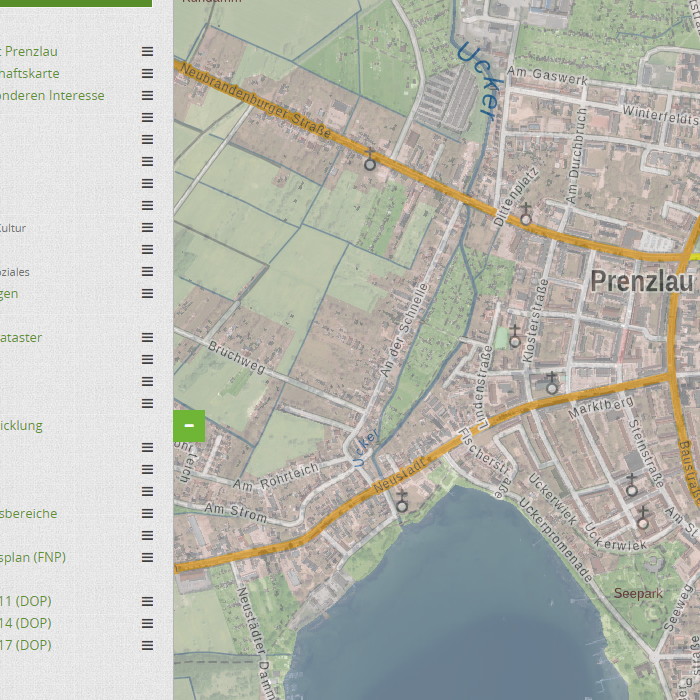
Das Geoportal Prenzlau visualisiert alle Geodienste, welche von der Stadt Prenzlau veröffentlicht wurden. Zusätzlich werden verschiedene Geobasisdaten der LGB dargestellt. Das Portal bietet Suchfunktionen nach den verschiedenen Geodatenthemen, eine Legende sowie eine Druckfunktion.