 My GeoNetwork catalogue
Federal Agency for Cartography and Geodesy
Provided by
Type of resources
Available actions
Topics
Keywords
Contact for the resource
Update frequencies
Service types
-
EuroRegionalMap country contribution provides a geographic database for topographic data that will be maintained at the source level by the National Mapping and Cadastral Agencies (NMCAs), and by providing harmonized access conditions within the framework of EuroGeographics.
-
EuroBoundaryMap country dataset provides a geographic database for administrative and statistical regions that will be maintained at the source level by the National Mapping and Cadastral Agencies (NMCAs), and by providing harmonized access conditions for this geographic information within the framework of EuroGeographics.
-

Transport Networks of Germany, derived from the german digital landscape model at scale 1:250000. Mapped via EuroRegionalMap to satisfy INSPIRE and European Location Framework conformance. The dataset contains the road, railway, water and air network and is available as Open Data.
-
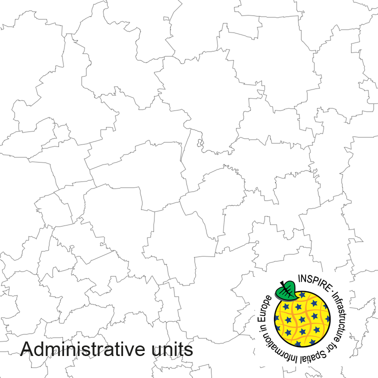
Administrative units of Germany, derived from the german digital landscape model at scale 1:250000. Mapped via EuroBoundaryMap to satisfy INSPIRE and European Location Framework conformance. The dataset is available as Open Data.
-

INSPIRE Direct Access Download Service for CORINE Land Cover – 5ha. This service provides from CORINE Land Cover 5ha (CLC5) transformed datasets for the INSPIRE theme Land Cover. The data provided through this service covers the area of Germany.
-
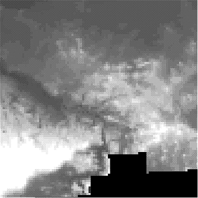
INSPIRE Download Service for Digital Terrain Model Grid Width 200 m (DGM200). The Digital Terrain Model DGM200 describes the terrain forms of the earth’s surface by means of a point quantity arranged in a regular grid, which is georeferenced to planimetry and altimetry. The grid width is 200 m. The data provided through this service covers the area of Germany. Maßstab: 1:null; Bodenauflösung: 200m; Scanauflösung (DPI): null
-
INSPIRE View Service for Digital Terrain Model Grid Width 200 m (DGM200). The Digital Terrain Model DGM200 describes the terrain forms of the earth’s surface by means of a point quantity arranged in a regular grid, which is georeferenced to planimetry and altimetry. The grid width is 200 m. The data provided through this service covers the area of Germany. Maßstab: 1:null; Bodenauflösung: 200m; Scanauflösung (DPI): null
-
INSPIRE Direct Access Download Service for CORINE Land Cover – 5ha. This service provides from CORINE Land Cover 5ha (CLC5) transformed datasets for the INSPIRE theme Land Cover. The data provided through this service covers the area of Germany.
-

INSPIRE Direct Access Download Service for Statistical Units ATKIS-DLM250. Statistical units of Germany, derived from the german digital landscape model at scale 1:250000. Mapped via EuroBoundaryMap to satisfy INSPIRE conformance. This service is published under the Ordinance to Determine the Conditions for Use for the Provision of Spatial Data of the Federation (GeoNutzV) and thereof free of charge.
-
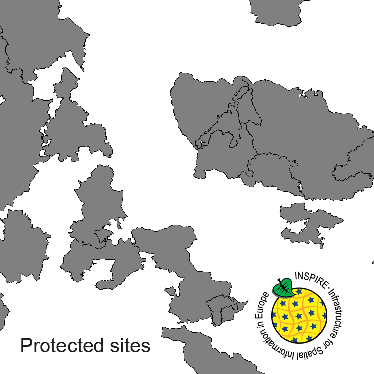
Protected Sites of Germany, derived from the german digital landscape model at scale 1:250000. Mapped via EuroRegionalMap to satisfy INSPIRE and European Location Framework conformance. The dataset is available as Open Data.