 My GeoNetwork catalogue
air quality
Provided by
Type of resources
Available actions
Topics
Keywords
Contact for the resource
Update frequencies
Service types
-
-
-
The concentrations and deposition of atmospheric constituents such as air pollutants were modeled with the Community Multiscale Air Quality (CMAQ) Model system for the year 2008. A focus was on sea salt emissions, atmospheric sea salt concentrations and the interaction between sea salt particles and atmospheric nitrogen compounds. For this purpose, two model runs with different realistic sea salt emission parameterizations were performed and are provided here. The model run CMAQ_CD24_seasalt_base uses the default sea salt emission parameterization of CMAQ denoted as GO03. The model run CMAQ_CD24_seasalt_ov14 uses an alternative sea salt emission parameterization denoted as OV14. Please refer to the connected references for information on the two sea salt emission parameterizations and their implementation. The dataset also contains meteorological input parameters in order to allow the user to perform unit conversions for some model variables. Additionally, the land-sea mask and land fraction data per model grid cell are provided. The projection is a Lambert Conformal Conic projection. The parameters are given in the netCDF files.
-
The concentrations and deposition of atmospheric constituents such as air pollutants were modeled with the Community Multiscale Air Quality (CMAQ) Model system for the year 2008. A focus was on sea salt emissions, atmospheric sea salt concentrations and the interaction between sea salt particles and atmospheric nitrogen compounds. For this purpose, two model runs with different realistic sea salt emission parameterizations were performed and are provided here. The model run CMAQ_CD24_seasalt_base uses the default sea salt emission parameterization of CMAQ denoted as GO03. The model run CMAQ_CD24_seasalt_ov14 uses an alternative sea salt emission parameterization denoted as OV14. Please refer to the connected references for information on the two sea salt emission parameterizations and their implementation. The dataset also contains meteorological input parameters in order to allow the user to perform unit conversions for some model variables. Additionally, the land-sea mask and land fraction data per model grid cell are provided. The projection is a Lambert Conformal Conic projection. The parameters are given in the netCDF files.
-
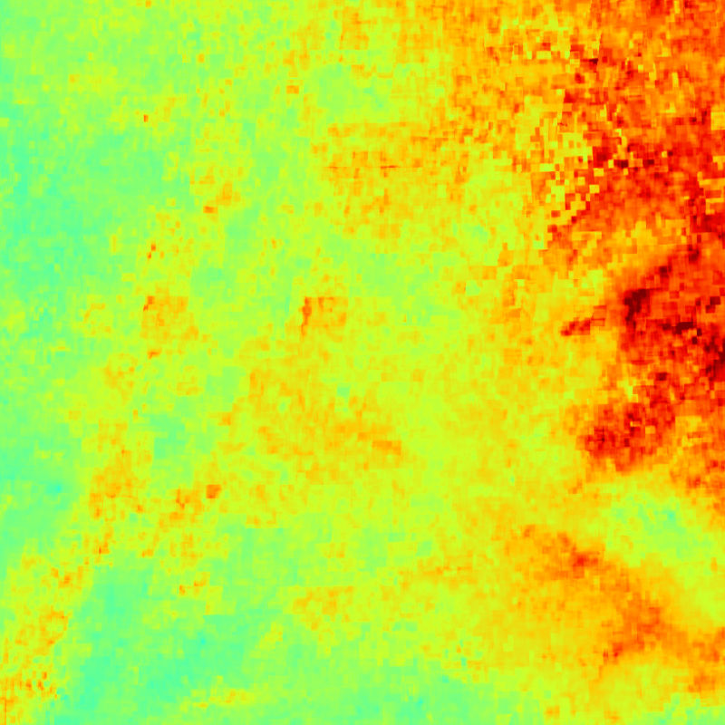
This collection contains monthly mean surface PM2.5 concentrations for Germany and parts of the surrounding countries. PM2.5 surface concentrations are derived from Aqua/MODIS and Sentinel-3A/SLSTR AOD data and provided as merged MODIS/SLSTR product. The data is generated by DLR and provided in the framework of the mFUND-Project "S-VELD". The surface PM2.5 data are concentrations with the unit "µg/m3". The satellites Aqua (NASA) and Sentinel-3 (Copernicus) observe Germany on a daily basis. PM2.5 concentrations were derived on a daily basis from the two AOD products separately and combined to a merged MODIS/SLSR surface PM2.5 product. The data within each month are averaged and gridded onto a regular UTM grid. As AOD measurements are strongly depending on cloud conditions, the spatial coverage can be limited, especially in the winter months.