• www.geodatenkatalog.de (S2L)
  •   Search
  •   Map
  •   Sign in
 

Keyword

region

12 record(s)


Provided by

Type of resources

Available actions

Topics

Keywords

Contact for the resource

Update frequencies

From 1 - 10 / 12
  •   NUTS-Gebiete 1:250 000 - Stand 31.12.

  •   NUTS-Gebiete 1:5 000 000 - Stand 31.12.

  •   Verwaltungsgebiete 1:5 000 000 - Stand 01.01.

  •   Verwaltungsgebiete 1:1 000 000 - Stand 31.12.

  •   Verwaltungsgebiete Historisch - Jubiläumsausgabe 30 Jahre Deutsche Einheit

  •   Verwaltungsgebiete 1:250 000 - Stand 31.12.

  •   Verwaltungsgebiete 1:25 000 - Stand 31.12.

  •   Verwaltungsgebiete 1:250 000 - Stand 01.01.

  •   Verwaltungsgebiete 1:5 000 000 - Stand 31.12.

  •   INSPIRE Statistical Units ATKIS-DLM250

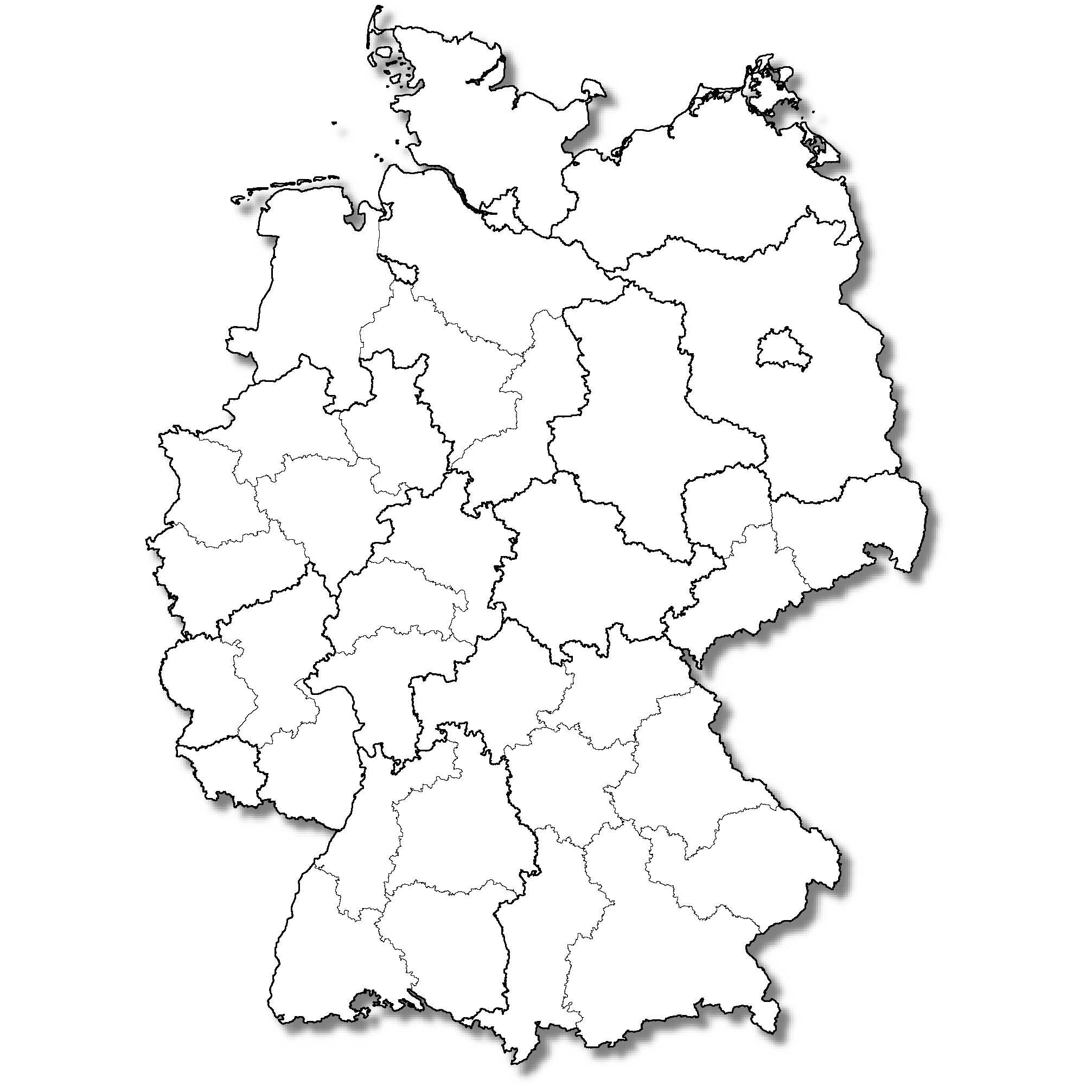
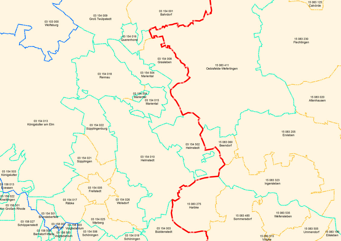
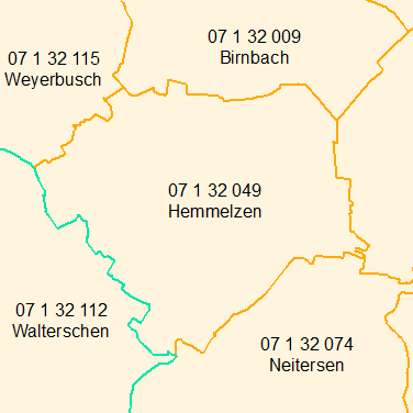
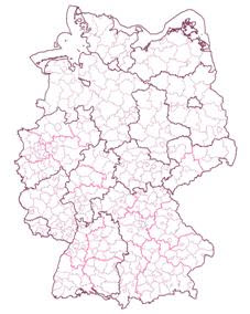
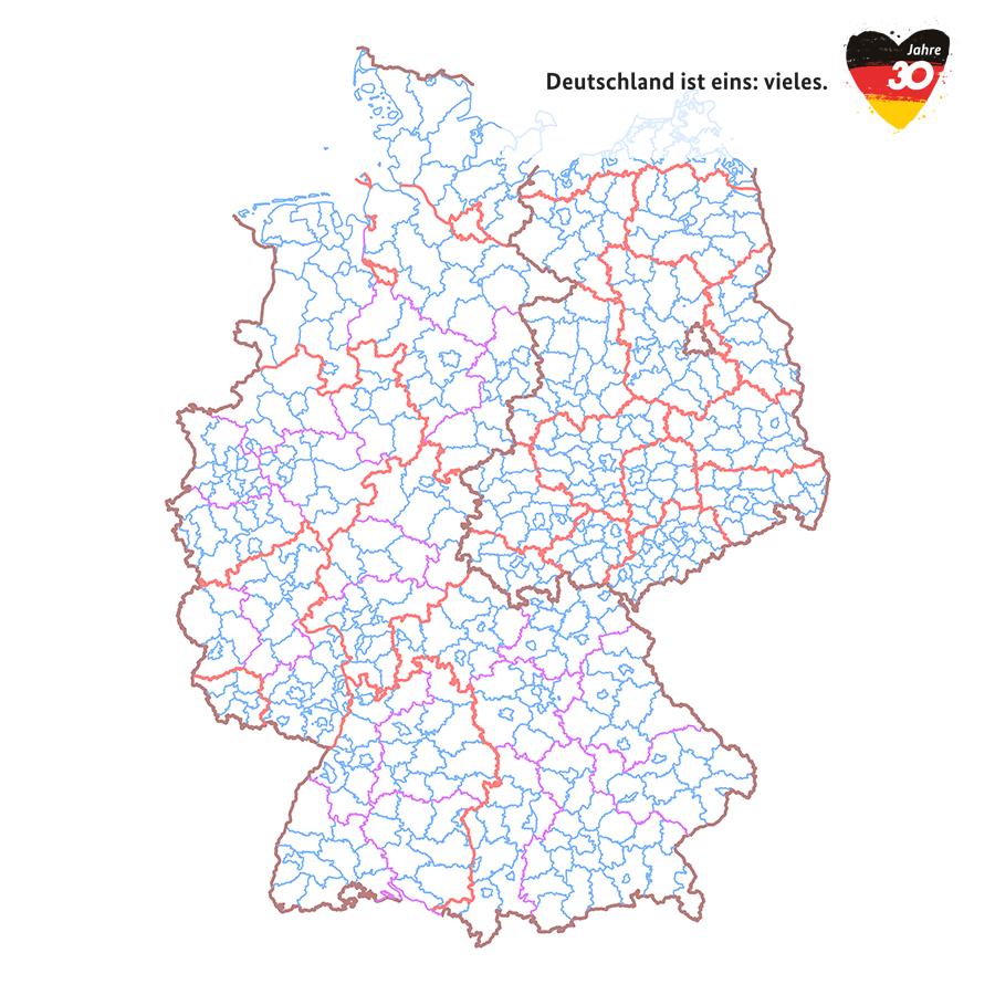
    Statistical units of Germany, derived from the german digital landscape model at scale 1:250000. Mapped via EuroBoundaryMap to satisfy INSPIRE conformance. The dataset is available as Open Data.

  •   About
  •   Github