 My GeoNetwork catalogue
Topic
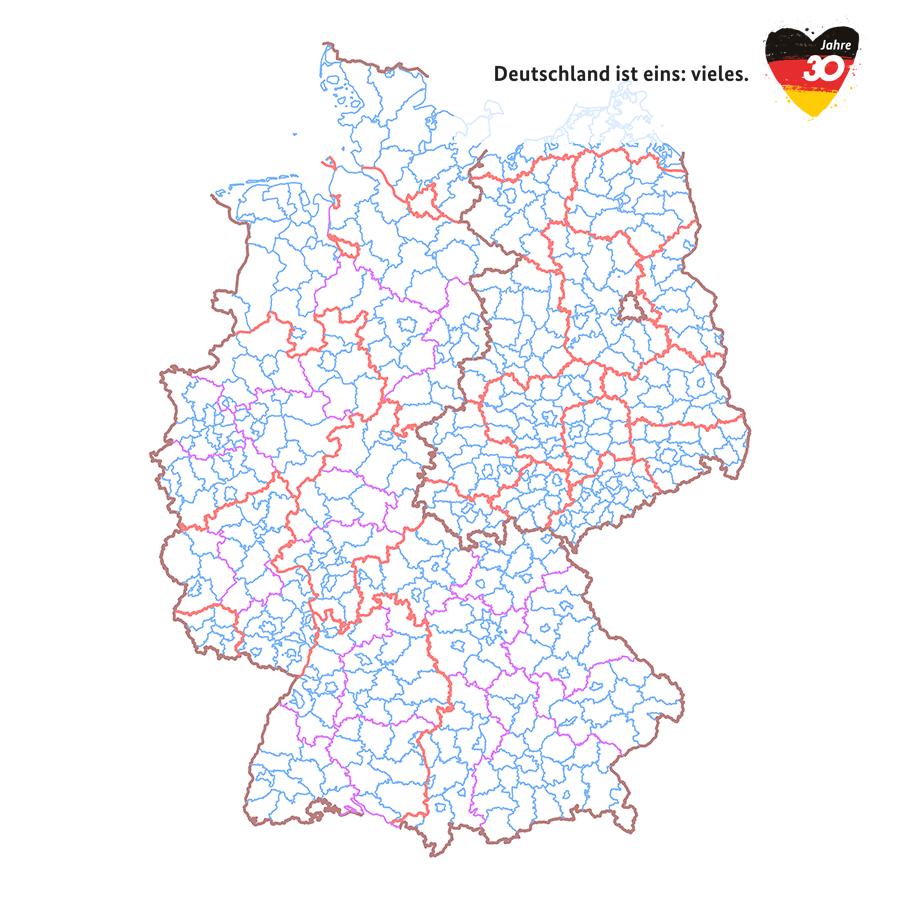
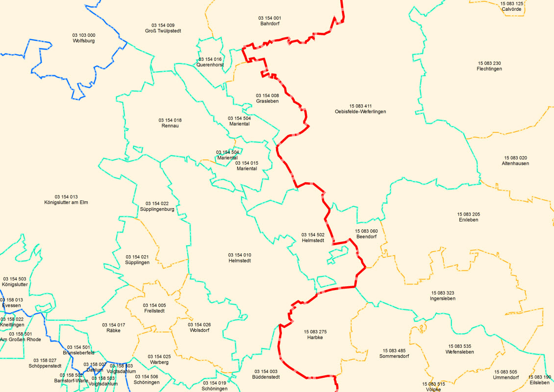
boundaries
Provided by
Type of resources
Available actions
Topics
Keywords
Contact for the resource
Update frequencies
From
1
-
10
/
1484
-

-
-
-
Das Gebiet der Stadt Göttingen ist in 18 Stadtbezirke unterteilt. Hierunter sind nicht die nach Niedersächsischem Kommunalverfassungsgesetz eingeteilten politischen Einheiten zu verstehen. Die 18 Stadtbezirke sind eine Einheit der Raumgliederung, die die Grundlage für Auswertungen auf größeren Ebenen ermöglicht. Die Darstellung der Stadtbezirke erfolgt mittels Polygone.
-

-

-
-
-

The dataset 'Coastline - Baltic Sea' contains the water-land boundary of the German federal territory in the area of the Baltic Sea. Survey data, orthophotos and map material were used to create the coastline.
-
