www.geodatenkatalog.de (S2F)
Search
Map
Sign in
Catalog
288 record(s)
Provided by
BKG-InGrid
(288)
Type of resources
Service
(138)
Dataset
(130)
service-view
(93)
service-download
(38)
application
(19)
service-other
(5)
service-discovery
(2)
Series
(1)
Available actions
Viewable
(189)
Topics
Imagery base maps earth cover
(35)
Boundaries
(30)
Location
(29)
Geoscientific information
(15)
Environment
(14)
Planning cadastre
(14)
Transportation
(11)
Elevation
(11)
Structure
(10)
Inland waters
(8)
Farming
(7)
Society
(7)
Economy
(7)
Utilities communication
(3)
Health
(1)
Intelligence military
(1)
Keywords
Imagery base maps earth cover
(35)
Boundaries
(30)
Location
(29)
municipality
(27)
map chart
(25)
inspireidentifiziert
(23)
county
(23)
land cover
(23)
national boundary
(17)
Europe
(16)
Geoscientific information
(15)
province
(15)
administrative boundary
(15)
administration
(15)
Planning cadastre
(14)
Contact for the resource
Federal Agency for Cartography and Geodesy
(24)
Update frequencies
Annually
(112)
As needed
(43)
Not planned
(24)
Continual
(22)
Biannually
(18)
Irregular
(14)
Quarterly
(12)
Monthly
(6)
Daily
(3)
Unknown
(1)
Service types
view
(93)
Download
(38)
other
(5)
discovery
(2)
From
1
-
10
/
288
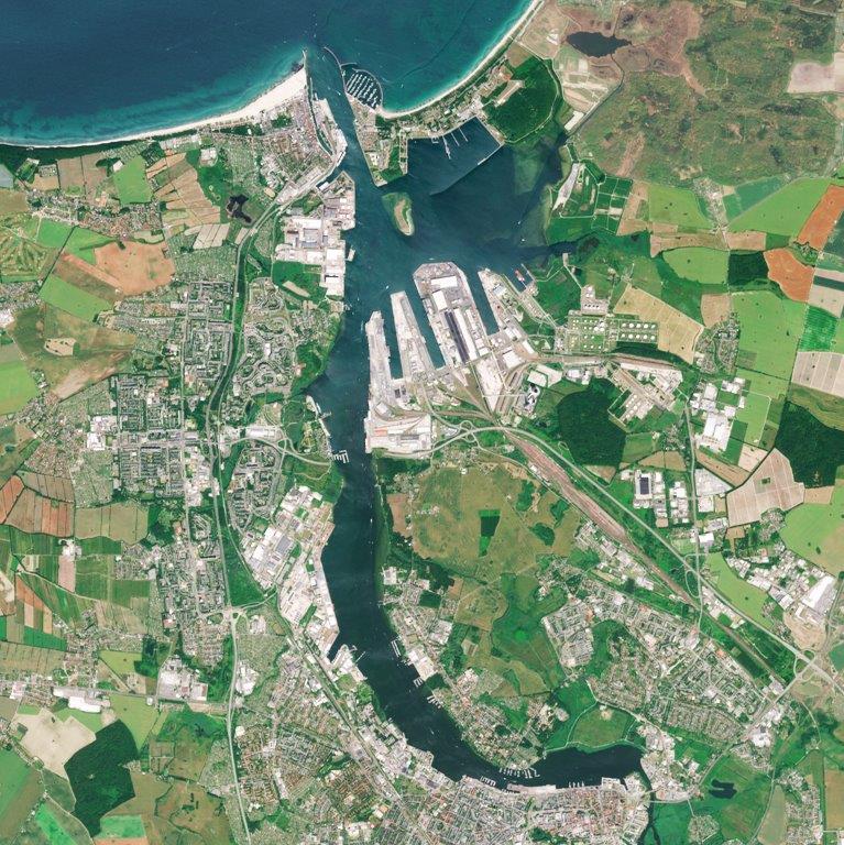
WMS Sentinel2 Deutschland
Freiluftanomalie UTM32 100m
Map on Demand (MoD) Bund
Erreichbarkeitsanalysen
CORINE Land Cover 2018 - 5 ha
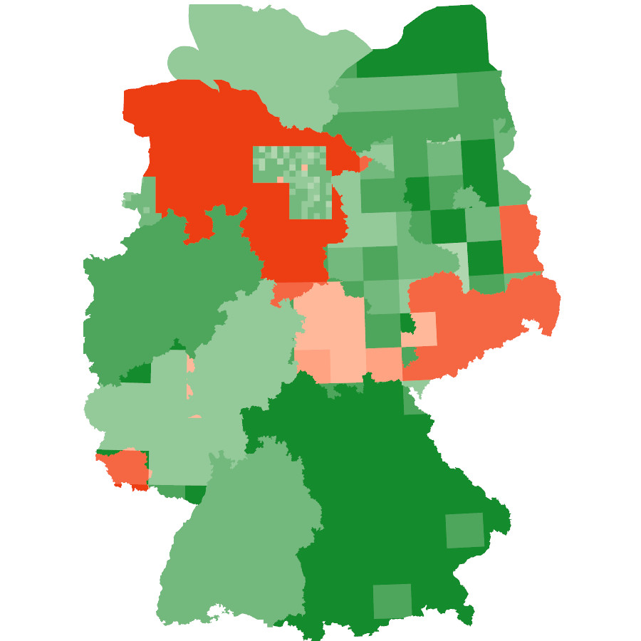
WMS Deutschlandatlas stationäre Pflege
Gebietseinheiten 1:5 000 000
TopPlusOpen Präsentationsgraphik 1:50 000
WMS Deutschlandatlas Betreuungsschlüssel in Kindertageseinrichtungen
Deutschlandatlas Erreichbarkeit des öffentlichen Verkehrs (Haltestellen)
About
Github
Barrierefreiheit
|
Datenschutz
|
Impressum
✕