cl_maintenanceAndUpdateFrequency
monthly
278 record(s)
Provided by
Type of resources
Available actions
Topics
Keywords
Contact for the resource
Update frequencies
Service types
-

Monthly mean (average of weekly analyses associated with respective month) of sea-surface temperature in the North Sea as spatial mean over grid-cells of the coarse resolution analysis grid based on a Lambert azimuthal equal-area projection with center point at 56°N, 4°E and a spatial resolution of 20 nautical miles (24x30 grid cells with corner grid-points at 60,81°N, -5,31°E; 60,81°N, 10,36°E; 51,17°N, -2,13°E; 51,17°N, 10,06°E); base data is the weekly SST-analysis performed in division M21 at BSH, that is a manual analysis based on in-situ observations for the period 1968-1994, that has been digitized, as well as the "blended SST-analysis", that is a product combining in-situ observations and satellite retrievals from 1995 onwards
-

Monthly spatial mean sea surface temperature of the North Sea (boundaries: 48.65°N - 62°N, 10.22°W - 16°E) from all available NOAA/Metop satellite overflights of the respective month. The sea surface temperatures are derived from AVHRR data with a spatial resolution of 1.1 km. Since 1990, these have been processed and manually quality-checked in the M14 department of the BSH.
-

Monthly mean (average of weekly analyses associated with respective month) of sea-surface temperature in the German Bight as spatial mean over a sub-sample of grid-cells (see geographical boundaries) of the coarse resolution analysis grid based on a Lambert azimuthal equal-area projection with center point at 56°N, 4°E and a spatial resolution of 20 nautical miles (24x30 grid cells with corner grid-points at 60,81°N, -5,31°E; 60,81°N, 10,36°E; 51,17°N, -2,13°E; 51,17°N, 10,06°E); base data is the weekly SST-analysis performed in division M21 at BSH, that is a manual analysis based on in-situ observations for the period 1968-1994, that has been digitized, as well as the "blended SST-analysis", that is a product combining in-situ observations and satellite retrievals from 1995 onwards
-

-

Monthly spatial mean sea surface temperature of the Baltic Sea (boundaries: 53°N - 66°N, 9°E - 31°E) from all available NOAA/Metop satellite overflights of the respective month. The sea surface temperatures are derived from AVHRR data with a spatial resolution of 1.1 km. Since 1990, these have been processed and manually quality-checked in the M14 department of the BSH.
-

-
-
Märkischer Kreis ALKIS-Daten ohne Eigentümer NAS+Shape Der ALKIS Bestandsdatenauszug ohne Eigentümer aus dem Liegenschaftskataster enthält für Flurstücke und Gebäude Geobasisdaten in beschreibender und darstellender Form. Für alle Flurstücke weist das Liegenschaftskataster deren Form, Lage, Nutzung, Größe, Bebauung und charakteristische Topographie nach. Es enthält auch die Ergebnisse der Bodenschätzung.
-

-

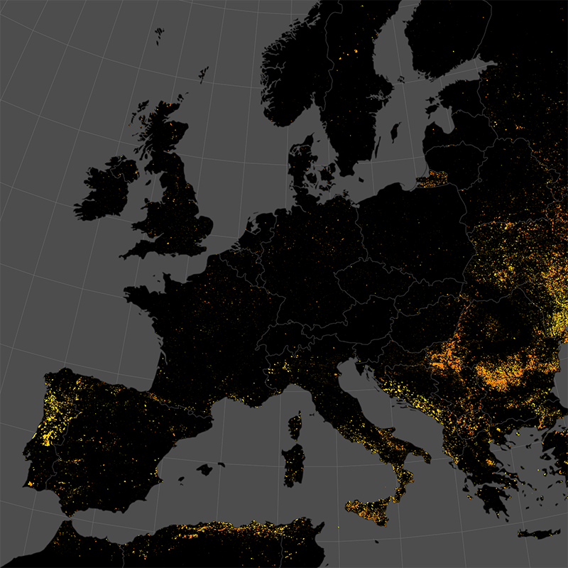
This data set represents the monthly, accumulated results of the final (10-day) version of the fire perimeters from the "Burnt Area Daily NRT Incremental Product - Europe, Sentinel-3" dataset. The burn perimeters are spatially and temporally correlated, so that interrelated detections from consecutive observations are combined into a single feature. A perimeter is interpreted as belonging to a given event if a spatial overlap exists within a time frame of 15 days. Besides the geometry, attribute information is also combined while considering the size of the perimeter as a weighting factor. Each feature contains information about the final fire perimeter, Date/Time of the first detection, and the averaged burn severity.
 www.geodatenkatalog.de (S3L)