 My GeoNetwork catalogue
airborne
Provided by
Type of resources
Available actions
Topics
Keywords
Contact for the resource
Update frequencies
-
The research aircraft DO-128, call sign D-IBUF, of the IFF (TU Braunschweig) measures numerous meteorological and chemical variables to get a better understanding of the atmospheric processes which cause the development of precipitation. The aircraft starts from the Baden Airpark and flys among different flight pattern which are described in the flight protocols. The meteorological variables are static pressure and dynamic pressure at the nose boom, surface temperature, humidity mixing ratio by a lyman-alpha sensor, dewpoint temperature by a dewpoint-mirror, relative humidity by an aerodata-humicap, air temperature by a PT-100 sensor, vertical and horizontal wind components by a five-hole probe and GPS, turbulence (100 Hz), shortwave (pyranometer) and longwave (pyrgeometer) radiance in upper und lower half space. The chemical variables are mole fractions of ozone, carbon dioxide, carbon monoxide, nitrogen dioxide, nitrogen monoxide and nitric oxides (NOx). There are also a few variables for the position and the velocity of the aircraft stored in the data file. Additionally to the measurements by the aircraft, up to 30 drop-sondes can be dropped out of the aircraft. By using these sondes, vertical profiles of temperature, pressure, humidity and wind can be detected (see also the meta data describing the drop-sonde data). Special events are also marked in the data files by the event counter (e.g. dropping times of the drop-sondes, marks concerning the flight patterns etc.). The specific action or flight manoeuvre indicated by the event_number can be identified in the flight protocol.
-
Products of liquid water path (LWP), rain water path (RWP) and integrated water vapor (IWV, also called precipitable water vapor (PWV)) are retrieved from microwave radiometer observations with auxiliary measurements from backscatter lidar and cloud radar. The nadir measurements were taken by the German High Altitude and Long range research aircraft (HALO) during the Next generation Advanced Remote sensing for VALidation campaign South (NARVAL-South) in December 2013. Products are provided over tropical Atlantic east of Barbados. This experiment provides column integrated quantities as seen from satellite perspective but with higher spatially resolution (about 1 km footprint) than available from microwave satellites.
-
Products of liquid water path (LWP), rain water path (RWP) and integrated water vapor (IWV, also called precipitable water vapor (PWV)) are retrieved from microwave radiometer observations with auxiliary measurements from backscatter lidar and cloud radar. The nadir measurements were taken by the German High Altitude and Long range research aircraft (HALO) during the Next generation Advanced Remote sensing for VALidation campaign 2 (NARVAL2) in August 2016. Products are provided over tropical Atlantic east of Barbados. This experiment provides column integrated quantities as seen from satellite perspective but with higher spatially resolution (about 1 km footprint) than available from microwave satellites.
-
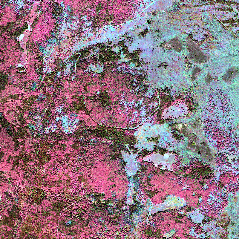
This collection contains airborne hyperspectral imagery acquired by the EOC user service OpAiRS. The data was recorded with the airborne DLR EnMAP simulator, which contains two HySpex cameras manufactured by the Norwegian Company NEO. The survey has been conducted within the scope of the “Data Pool Initiative for the Bohemian Forest Ecosystem”. It covers parts of the Bohemian forest, mainly the Bavarian Forest National Park. The data are made available as orthorectified ground reflectance. For more information concerning the airborne sensor system the reader is referred to: https://www.dlr.de/eoc/en/desktopdefault.aspx/tabid-11411/19998_read-46623/