 My GeoNetwork catalogue
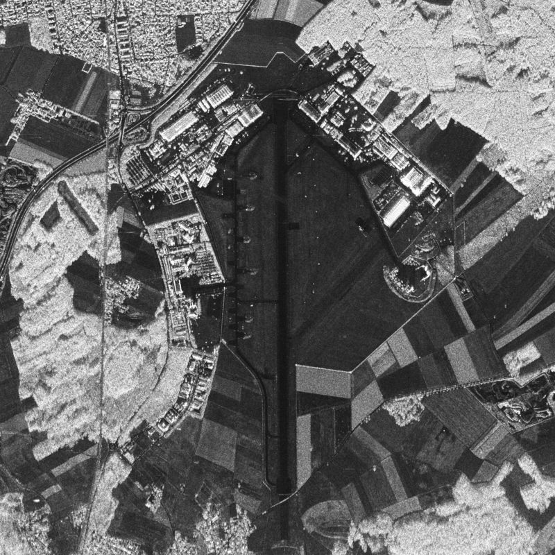
stripmap
Provided by
Type of resources
Topics
Keywords
Contact for the resource
Update frequencies
-
E-SAR, “Experimental-SAR”, is an airborne imaging radar (Synthetic Aperture Radar) sensor operated by the German Aerospace Center (DLR), Microwaves and Radar Institute (HR) from 1988 until November 2009. It was operated on a Dornier Do-228 aircraft from altitudes of 2000 to 6000 m above ground in four different center frequency bands (X,C,L,P). Different center frequencies were operated sequentially in different overflights. Data were acquired either in one-channel, two-channel or four-channel mode in HH, HV, VV and/or VH polarization. Fully polarimetric data are available in L- and P-band only. Repeat-pass interferometry is available in L- and P-band. Single-pass interferometry is available in X-band only, in along- and across-track antenna configuration. Data are processed up to two different levels: RGI (Radar Geometry Image product) and GTC (Geocoded and Terrain-Corrected product). Resolutions range from 25 cm (X-band) to 1.5 m (P-band) in azimuth direction and from 1.8 m (X-band) to 3 m (P-band) in range direction. Data acquisition modes are “stripmap”, “repeat-pass” (two parallel tracks) or “tomography” (several parallel tracks). For more information concerning E-SAR data, the reader is referred to: www.dlr.de/hr/e-sar
-
F-SAR, “Flugzeug-SAR”, is an airborne high-resolution imaging radar (Synthetic Aperture Radar) sensor presently operated by the German Aerospace Center (DLR), Microwaves and Radar Institute (HR) since November 02, 2006. It is operated on a Dornier Do-228 aircraft from altitudes of 2000 to 6000 m above ground in five different center frequency bands (X,C,S,L,P). Wavelengths range from 3 cm, 5 cm, 9 cm, 23 cm to 67 cm. Ka-band (1 cm wavelength) is planned to be added. Up to four center-frequencies (X,S,L,P) or (X,C,L,P) can be operated simultaneously per overflight. All frequencies are fully polarimetric (HH,HV,VV,VH) and have full repeat-pass capabilities. Single-pass interferometry in along-track (ATI) and across-track mode is available in X-band (ATI and/or XTI) and S-band (XTI). Data are processed up to three different levels: RGI (Radar Geometry Image product), INF (Repeat-pass-interferometric product) and GTC (Geocoded and Terrain-Corrected product). Resolutions range from 25 cm (X-band) to 1.5 m (P-band) in both azimuth and range direction. Data acquisition modes are typically “stripmap”, “repeat-pass” (two parallel tracks), “tomography” (several parallel tracks), ”circular” (one circle) or “circular-tomography” (several vertically distributed circles). Individually planned experiments can also be supported. For more information concerning F-SAR data, the reader is referred to: www.dlr.de/hr/f-sar
-

DBFSAR, "Digital Beam Forming SAR", is an airborne very-high-resolution imaging radar (Synthetic Aperture Radar) sensor presently operated by the German Aerospace Center (DLR), Microwaves and Radar Institute (HR) since November 29, 2016. It is operated on a Dornier Do-228 aircraft from altitudes of 2000 to 6000 m above ground in X-band (3 cm wavelength) only, featuring four transmit (operated sequentially) and twelve parallel receive channels. Depending on antenna deployment, it is either fully polarimetric (HH,HV,VV,VH), inetrferomtric in along- and/or across-track mode, or can be operated as a digital beamforming SAR. It has full repeat-pass capabilities. Data are processed up to three different levels: RGI (Radar Geometry Image product), INF (Interferometric product) and GTC (Geocoded and Terrain-Corrected product). The data acquisition modes are selected based on the individually planned experiments. Achieved resolutions are presently 10 cm in azimuth and 17 cm in range but will go down significantly below 10 cm in both directions.