www.geodatenkatalog.de (S2L)
Search
Map
Sign in
Keyword
administrative boundary
15 record(s)
Provided by
BKGHVD_hide
(6)
BKG-InGrid
(9)
Type of resources
Dataset
(15)
Available actions
Viewable
(7)
Topics
Boundaries
(15)
Society
(1)
Location
(1)
Keywords
Boundaries
(15)
administrative boundary
(15)
province
(11)
municipality
(9)
State
(9)
region
(9)
county
(9)
regional statistics
(2)
cartography
(1)
map chart
(1)
border
(1)
administration
(1)
geodesy
(1)
order
(1)
municipal level
(1)
Update frequencies
Annually
(14)
Not planned
(1)
From
1
-
10
/
15
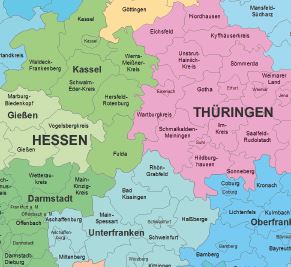
Verwaltungskarte Deutschland 1:2 500 000 - Länder Regierungsbezirke Kreise
Verwaltungskarte Deutschland 1:2 500 000 - Staatsgrenze Länder Kreise Grafikformate
Verwaltungskarte Deutschland 1:2 500 000 - Länder
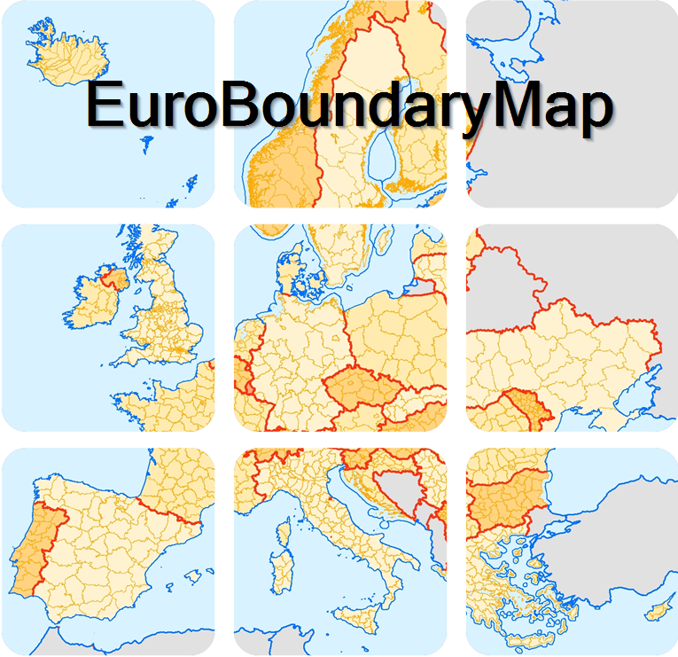
EuroBoundaryMap
Gebietseinheiten 1:5 000 000
Gebietseinheiten 1:250 000
Verwaltungsgebiete 1:5 000 000 - Stand 01.01.
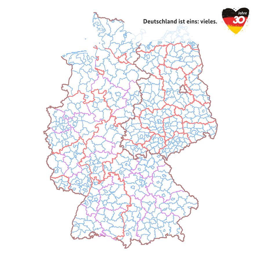
Verwaltungsgebiete Historisch - Jubiläumsausgabe 30 Jahre Deutsche Einheit
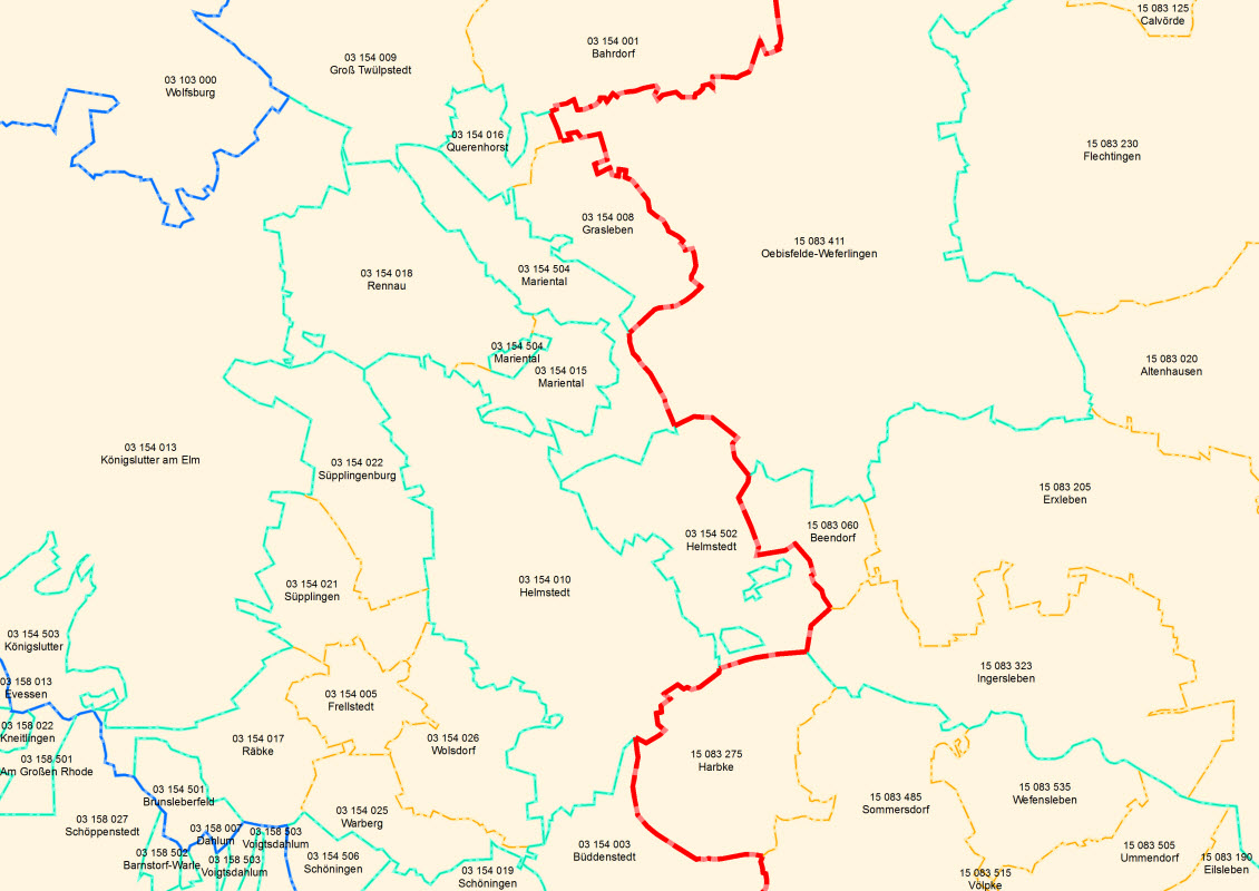
Verwaltungsgebiete 1:250 000 - Stand 31.12.
Verwaltungsgebiete 1:250 000 - Stand 01.01.
About
Github
 www.geodatenkatalog.de (S2L)