 www.geodatenkatalog.de (S1L)
Keyword
PolarDEM
2 record(s)
Provided by
Type of resources
Available actions
Keywords
Contact for the resource
Update frequencies
Service types
-
This WMS provides access to different elevation products provided by the Earth Observation Center (EOC) of the DLR.
-
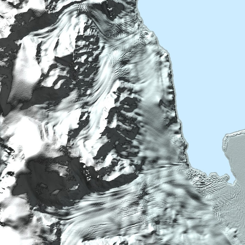
The TanDEM-X PolarDEM is a project developed by the German Remote Sensing Data Center (DFD) at the German Aerospace Center (DLR) within the activities of the TanDEM-X mission. It is a framework for the provision of derivatives of the global Digital Elevation Model (DEM) of the TanDEM-X mission for Polar Regions. The TanDEM-X PolarDEM 90m of Antarctica is a gap-free and edited version of the TanDEM-X 90m digital elevation model (DEM). The TanDEM-X PolarDEM 90m of Antarctica is provided in Antarctic Polar Stereographic projection (EPSG:3031) with a pixel spacing of 90 meters. The DEM elevation values represent ellipsoidal heights relative to the WGS84 ellipsoid. The majority of the data were acquired between April 2013 and October 2014. The TanDEM-X PolarDEM 90m of Antarctica is split into four tiles. For more information concerning the TanDEM-X PolarDEM, the reader is referred to: https://www.dlr.de/eoc/en/desktopdefault.aspx/tabid-11882/20871_read-66374/