Keyword
unsupervised change detection
1 record(s)
Provided by
Type of resources
Topics
Keywords
Contact for the resource
Update frequencies
From
1
-
1
/
1
-

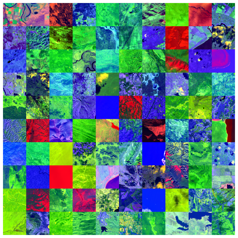
The Environmental Mapping and Analysis Program (EnMAP) is a German hyperspectral satellite mission to monitoring and characterise Earth’s environment on a global scale. EnMAP measures and models key dynamic processes of Earth’s ecosystems by extracting geochemical, biochemical and biophysical parameters that provide information on the status and evolution of various terrestrial and aquatic ecosystems. The mission’s main objective is to study and decipher coupled environmental processes and to assist and promote the sustainable management of Earth’s resources. This collection includes Level 0 quicklook images of the mission. For more information, please see the mission website: https://www.enmap.org/mission/
 www.geodatenkatalog.de (S3L)