 My GeoNetwork catalogue
HSI
Provided by
Type of resources
Available actions
Topics
Keywords
Contact for the resource
Update frequencies
-
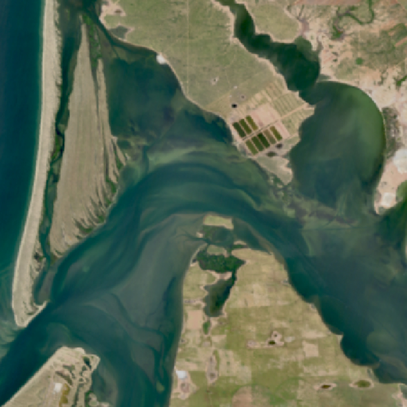
The EnMAP HSI L2A dataset collection comprises a standardized, consistent, systematically processed, and cloud-native level-2A dataset series for the entire mission. It is especially useful for big data or time series analyses. The dataset is processed with the atmospheric correction over land processor and is provided in cloud-optimized GeoTIFF format for direct access and download. The metadata follows the CEOS Analysis Ready Data (CEOS-ARD) framework. The database is constantly updated with newly acquired data. The Environmental Mapping and Analysis Program (EnMAP) is a German hyperspectral satellite mission that monitors and characterizes Earth’s environment on a global scale. EnMAP delivers accurate data that provides information on the status and evolution of terrestrial and aquatic ecosystems, supporting environmental monitoring, management, and decision-making. For more information, please see the mission website: https://www.enmap.org/mission/
-
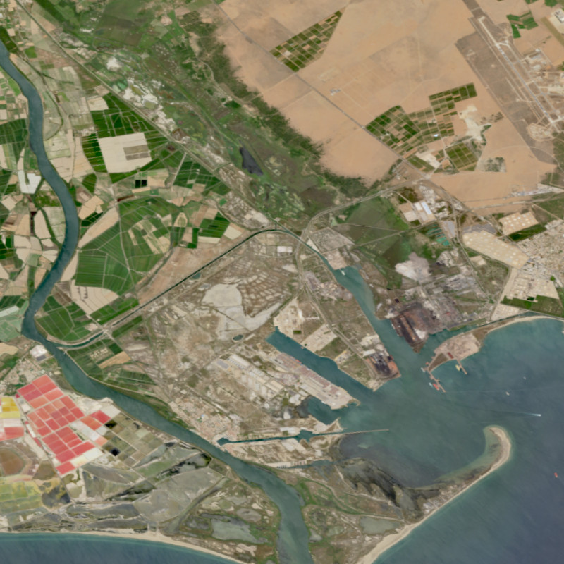
The EnMAP HSI L0 Quicklooks collection contains the VNIR and SWIR quicklook images as well as the quality masks for haze, cloud, or snow; based on the latest atmospheric correction methodology of the land processor. It allows users to get an overview which L0 data has been acquired and archived since the operational start of the EnMAP mission and which data is potentially available for on-demand processing into higher level products with specific processing parameters via the EOWEB-GeoPortal. The database is constantly updated with newly acquired L0 data. The Environmental Mapping and Analysis Program (EnMAP) is a German hyperspectral satellite mission that monitors and characterizes Earth’s environment on a global scale. EnMAP delivers accurate data that provides information on the status and evolution of terrestrial and aquatic ecosystems, supporting environmental monitoring, management, and decision-making. For more information, please see the mission website: https://www.enmap.org/mission/
-
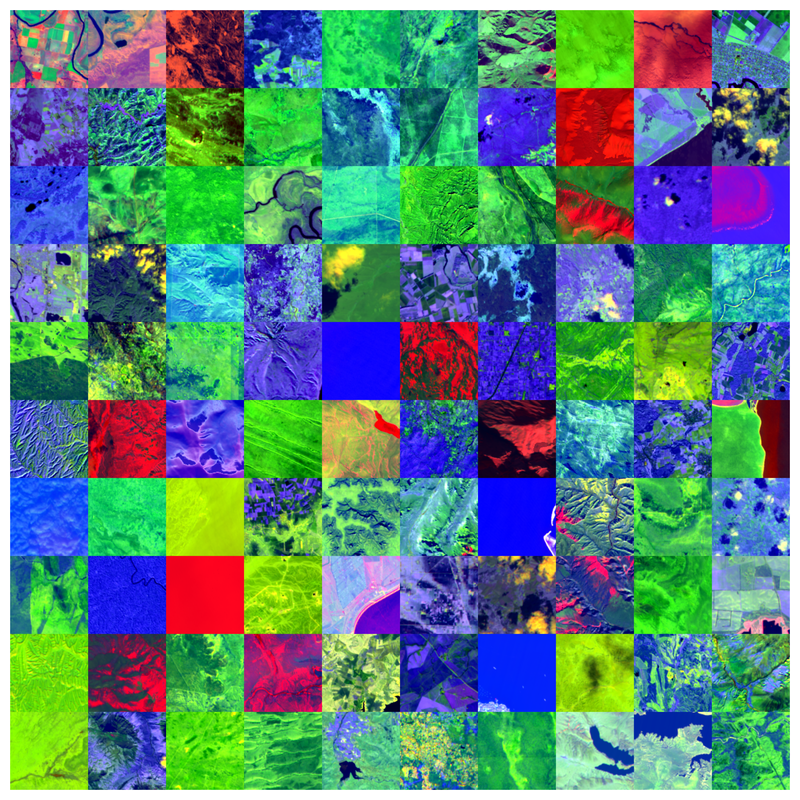
The Environmental Mapping and Analysis Program (EnMAP) is a German hyperspectral satellite mission to monitoring and characterise Earth’s environment on a global scale. EnMAP measures and models key dynamic processes of Earth’s ecosystems by extracting geochemical, biochemical and biophysical parameters that provide information on the status and evolution of various terrestrial and aquatic ecosystems. The mission’s main objective is to study and decipher coupled environmental processes and to assist and promote the sustainable management of Earth’s resources. This collection includes Level 0 quicklook images of the mission. For more information, please see the mission website: https://www.enmap.org/mission/