 My GeoNetwork catalogue
IRS-P6
Provided by
Type of resources
Topics
Keywords
Contact for the resource
Update frequencies
-
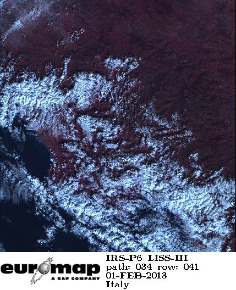
Indian Remote Sensing satellites (IRS) are a series of Earth Observation satellites, built, launched and maintained by Indian Space Research Organisation. The IRS series provides many remote sensing services to India and international ground stations. IRS LISS-III data are well suited for agricultural and forestry monitoring tasks.
-
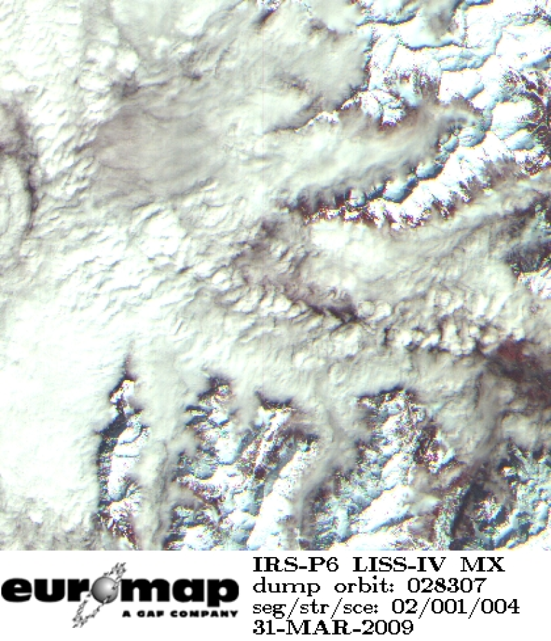
Indian Remote Sensing satellites (IRS) are a series of Earth Observation satellites, built, launched and maintained by Indian Space Research Organisation. The IRS series provides many remote sensing services to India and international ground stations. With 5 m resolution and products covering areas up to 23.5 km x 23.5 km IRS LISS-IV multispectral data provide a cost effective solution for mapping tasks up to 1:25'000 scale.
-
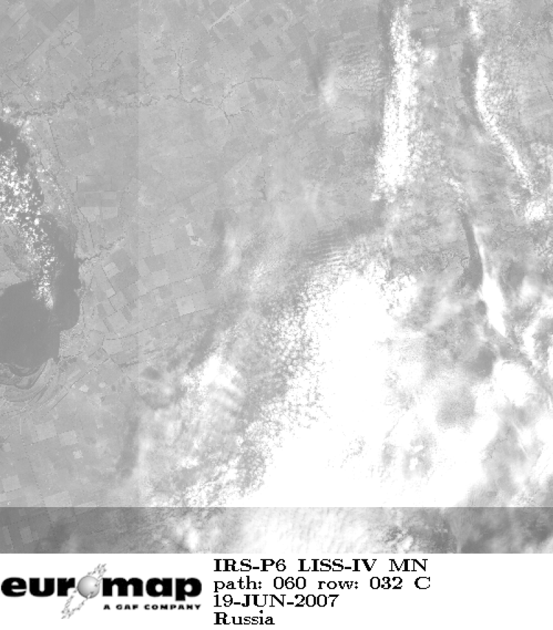
Indian Remote Sensing satellites (IRS) are a series of Earth Observation satellites, built, launched and maintained by Indian Space Research Organisation. The IRS series provides many remote sensing services to India and international ground stations. With 5 m resolution and products covering areas up to 70 km x 70 km IRS LISS-IV mono data provide a cost effective solution for mapping tasks up to 1:25'000 scale.
-
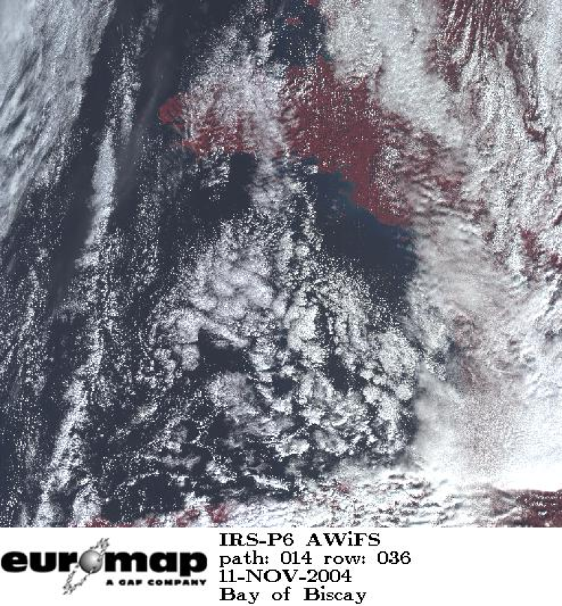
Indian Remote Sensing satellites (IRS) are a series of Earth Observation satellites, built, launched and maintained by Indian Space Research Organisation. The IRS series provides many remote sensing services to India and international ground stations. The revisit capability of only 5 days and the products coverage size of 370 km x 370 km make AWiFS products a valuable source for application fields such forestry and environmental monitoring