Keyword
Marine Strategy Framework Directive
12 record(s)
Provided by
Type of resources
Available actions
Update frequencies
Service types
-
Die Bundesanstalt für Gewässerkunde nimmt im Auftrag des BMU die elektronische WISE-Berichterstattung zur EG-Meeresstrategierahmenrichtlinie wahr. Hier wird die Berichterstattung zum Artikel 4 der EG-Meeresstrategierahmenrichtlinie realisiert. Das Shape-File enthält die Örtlichkeiten zur räumlichen Ausdehnung der Assessment Area Nordsee.
-
Berichterstattung Artikel 4 der EG-Meeresstrategierahmenrichtlinie, Marine Waters, Subregion Nordsee
Die Bundesanstalt für Gewässerkunde nimmt im Auftrag des BMU die elektronische WISE-Berichterstattung zur EG-Meeresstrategierahmenrichtlinie wahr. Hier wird die Berichterstattung zum Artikel 4 der EG-Meeresstrategierahmenrichtlinie realisiert. Das Shape-File enthält die Örtlichkeiten zur räumlichen Ausdehnung der Subregion Nordsee.
-

Dieser Metadatensatz beschreibt einen Web Map Service. Er beinhaltet die im Rahmen der OSPAR/HELCOM Baggergut-Berichterstattung erhobenen Daten zu Mengen und Qualität der Baggerungen und Baggergutunterbringungen im Bereich der OSPAR und HELCOM-Konventionsregionen seewärts der Süßwassergrenze, unabhängig von der Herkunft des Baggermaterials. Die im Messprogramm erhobenen Daten dienen der Umsetzung der OSPAR- und HELCOM-Übereinkommen sowie der MSRL. Das Monitoringprogramm zielt auf die Überwachung der Verbreitung der physikalischen Störungen durch Ausbaggern und Unterbringung des gebaggerten Materials ab und damit direkt auch auf die Abbildung der Nutzungen und menschlichen Aktivitäten am Meeresboden.
-
Die Bundesanstalt für Gewässerkunde nimmt im Auftrag des BMU die elektronische WISE-Berichterstattung zur EG-Meeresstrategierahmenrichtlinie wahr. Hier wird die Berichterstattung zum Artikel 4 der EG-Meeresstrategierahmenrichtlinie realisiert. Das Shape-File enthält die Örtlichkeiten zur räumlichen Ausdehnung der Region Ostsee.
-
Die Bundesanstalt für Gewässerkunde nimmt im Auftrag des BMU die elektronische WISE-Berichterstattung zur EG-Meeresstrategierahmenrichtlinie wahr. Hier wird die Berichterstattung zum Artikel 4 der EG-Meeresstrategierahmenrichtlinie realisiert. Das Shape-File enthält die Örtlichkeiten zur räumlichen Ausdehnung der Assessment Area Ostsee.
-

Der Datensatz beinhaltet die im Rahmen der OSPAR/HELCOM Baggergut-Berichterstattung erhobenen Daten zu Mengen und Qualität der Baggerungen und Baggergutunterbringungen im Bereich der OSPAR und HELCOM-Konventionsregionen seewärts der Süßwassergrenze, unabhängig von der Herkunft des Baggermaterials. Die im Messprogramm erhobenen Daten dienen der Umsetzung der OSPAR- und HELCOM-Übereinkommen sowie der MSRL. Das Monitoringprogramm zielt auf die Überwachung der Verbreitung der physikalischen Störungen durch Ausbaggern und Unterbringung des gebaggerten Materials ab und damit direkt auch auf die Abbildung der Nutzungen und menschlichen Aktivitäten am Meeresboden.
-

Der Metadatensatz beschreibt den Atom Feed zum Download Service des INSPIRE Annex- Thema III "Bewirtschaftungsgebiete, Schutzgebiete, geregelte Gebiete und Berichterstattungseinheiten". Die Bundesanstalt für Gewässerkunde (BfG) verwaltet im Auftrag der Wasserwirtschaftsverwaltungen in Deutschland im nationalen Berichtsportal Wasser (WasserBLIcK) die Daten der Berichterstattung zu diversen wasserbezogenen EG-Umweltrichtlinien. Auf Basis dieser Datengrundlage stellt die BfG in Abstimmung mit der Länderarbeitsgemeinschaft Wasser (LAWA) ausgewählte Karten- und Datendienste bereit. Die hier bereitgestellten Dienste basieren auf national flächendeckend homogenisierten Datenbeständen. Andere administrative Ebenen in Deutschland (Land, Bezirk, Kreis, Kommune) stellen gegebenenfalls zu diesem Thema Dienste in einer höheren räumlichen und zeitlichen Auflösung bereit.
-

Der Metadatensatz beschreibt den Web Map Service (WMS) des INSPIRE Annex- Thema III "Bewirtschaftungsgebiete, Schutzgebiete, geregelte Gebiete und Berichterstattungseinheiten". Die Bundesanstalt für Gewässerkunde (BfG) verwaltet im Auftrag der Wasserwirtschaftsverwaltungen in Deutschland im nationalen Berichtsportal Wasser (WasserBLIcK) die Daten der Berichterstattung zu diversen wasserbezogenen EG-Umweltrichtlinien. Auf Basis dieser Datengrundlage stellt die BfG in Abstimmung mit der Länderarbeitsgemeinschaft Wasser (LAWA) ausgewählte Karten- und Datendienste bereit. Die hier bereitgestellten Dienste basieren auf national flächendeckend homogenisierten Datenbeständen. Andere administrative Ebenen in Deutschland (Land, Bezirk, Kreis, Kommune) stellen gegebenenfalls zu diesem Thema Dienste in einer höheren räumlichen und zeitlichen Auflösung bereit.
-

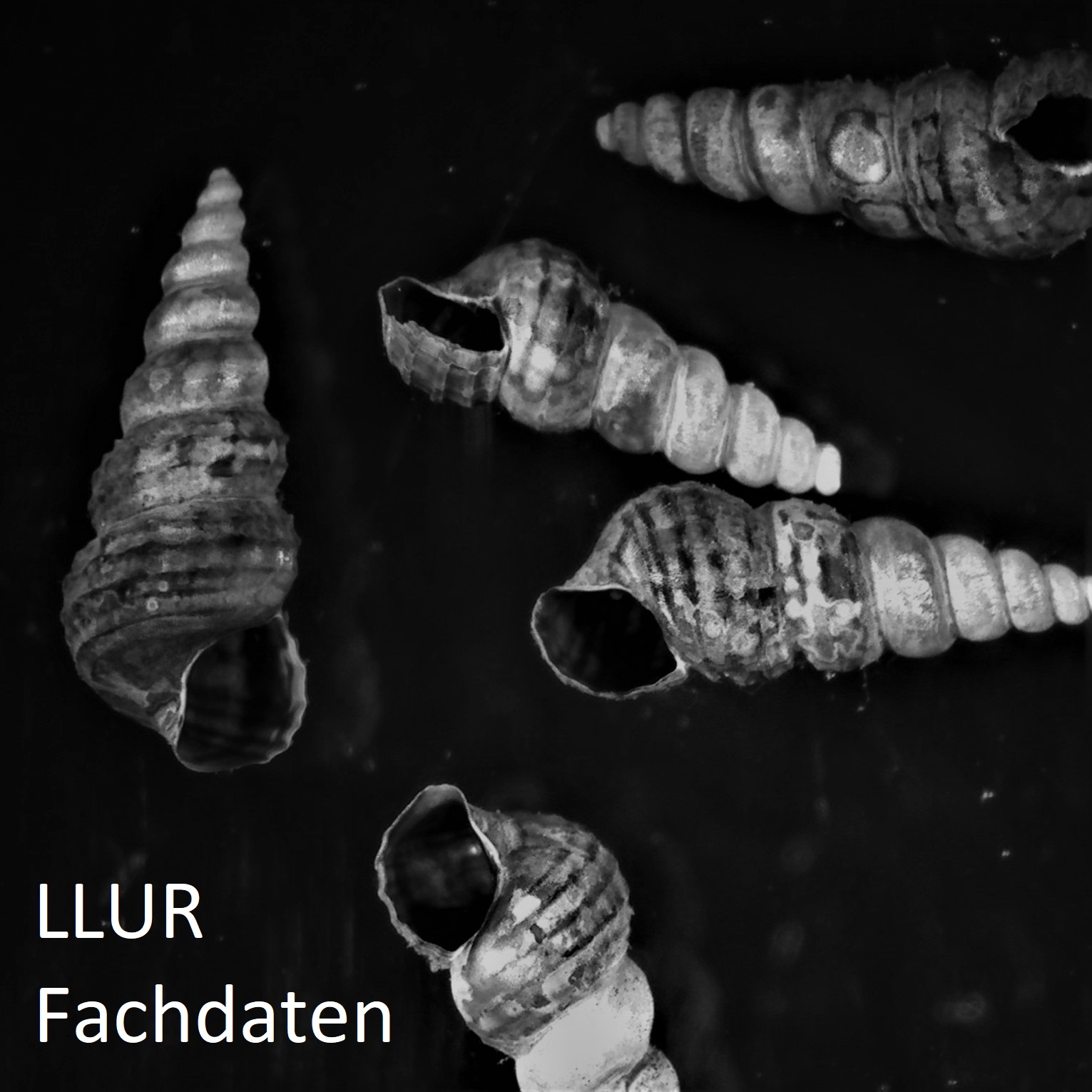
Fachdaten im Landesamt für Landwirtschaft, Umwelt und ländliche Räume (LLUR) zum Thema: Erfassung, Überwachung und Bewertung der makrozoobenthischen Lebensgemeinschaften in den Küstengewässer von Schleswig-Holstein. | Weitere Informationen: https://www.schleswig-holstein.de/DE/Fachinhalte/M/meeresschutz/biologischesMonitoring.html
-

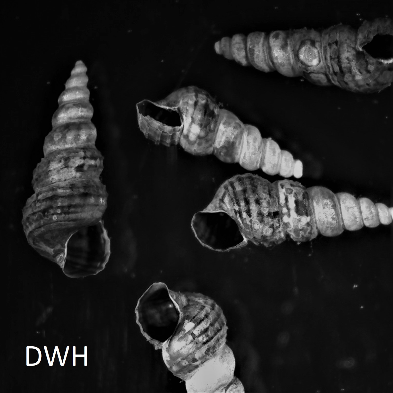
Zentral vorgehaltener Datenbestand im Data Warehouse (DWH) der Umweltverwaltung in Schleswig-Holstein zum Thema: Erfassung, Überwachung und Bewertung der makrozoobenthischen Lebensgemeinschaften in den Küstengewässer von Schleswig-Holstein. | Weitere Informationen: https://www.schleswig-holstein.de/DE/Fachinhalte/M/meeresschutz/biologischesMonitoring.html Folgende Informationen werden vorgehalten: Stationsinformationen, Probennahme, Probe, Taxa, Messwert, Jahresmittel Phylum
 www.geodatenkatalog.de (S2L)