 www.geodatenkatalog.de (S3L)
Keyword
Vulkangebiet
2 record(s)
Provided by
Type of resources
Available actions
Topics
Keywords
Contact for the resource
Service types
-
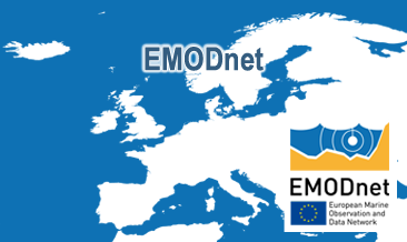
The European Marine Observation and Data Network (EMODnet) consists of more than 100 organisations assembling marine data, products and metadata to make these fragmented data resources more available to public and private users relying on quality-assured, standardised and harmonised marine data which are interoperable and free of restrictions on use. EMODnet is currently in its fourth phase. BGR participates in the EMODnet Geology theme and is coordinating the “seafloor geology” work package from the beginning. In cooperation with the project partners BGR compiles and harmonises GIS data layers on the topics geomorphology, pre-Quaternary and Quaternary geology and provides those, based on INSPIRE principles, via the EMODnet Geology portal https://www. emodnet-geology.eu/map-viewer/. These map layers present the pre-Quaternary and Quaternary sea-floor geology and Geomorphology of the European Seas, semantically harmonized based on the INSPIRE data specifications including the terms for lithology, age, event environment, event process and geomorphology. The data are compiled from the project partners, the national geological survey organizations of the participating countries. The data set represents the most detailed available data compilation of the European Seas using a multiresolution approach. Data completeness depending on the availability of data and actual mapping campaigns. This open and freely accessible product was made available by the EMODnet Geology project (https://www.emodnet-geology.eu/), implemented by EMODnet Geology Phase IV partners, and funded by the European Commission Directorate General for Maritime Affairs and Fisheries. These data were compiled by BGR from the EMODnet IV Geology partners. All ownership rights of the original data remain with the data originators, who are acknowledged within the attribute values of each map feature.
-
The European Marine Observation and Data Network (EMODnet) consists of more than 100 organisations assembling marine data, products and metadata to make these fragmented data resources more available to public and private users relying on quality-assured, standardised and harmonised marine data which are interoperable and free of restrictions on use. EMODnet is currently in its fourth phase. BGR participates in the EMODnet Geology theme and is coordinating the “seafloor geology” work package from the beginning. In cooperation with the project partners BGR compiles and harmonises GIS data layers on the topics geomorphology, pre-Quaternary and Quaternary geology and provides those, based on INSPIRE principles, via the EMODnet Geology portal https://www.emodnet-geology.eu/map-viewer/. These map layers present the pre-Quaternary and the Quaternary sea-floor geology and Geomorphology of the European Seas, semantically harmonized based on the INSPIRE data specifications for Geology, including the terms for lithology, age, event environment, event process. The data are compiled from the project partners, the national geological survey organizations of the participating countries. The data set represents the most detailed available data compilation of the European Seas using a multi-resolution approach. Data completeness depending on the availability of data and actual mapping campaigns. This open and freely accessible product was made available by the EMODnet Geology project (https://www.emodnet-geology.eu/), implemented by EMODnet Geology Phase IV partners, and funded by the European Commission Directorate General for Maritime Affairs and Fisheries. These data were compiled by BGR from the EMODnet IV Geology partners. All ownership rights of the original data remain with the data originators, who are acknowledged within the attribute values of each map feature.