 My GeoNetwork catalogue
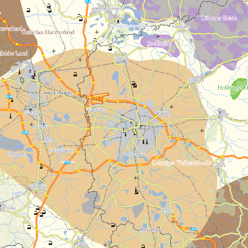
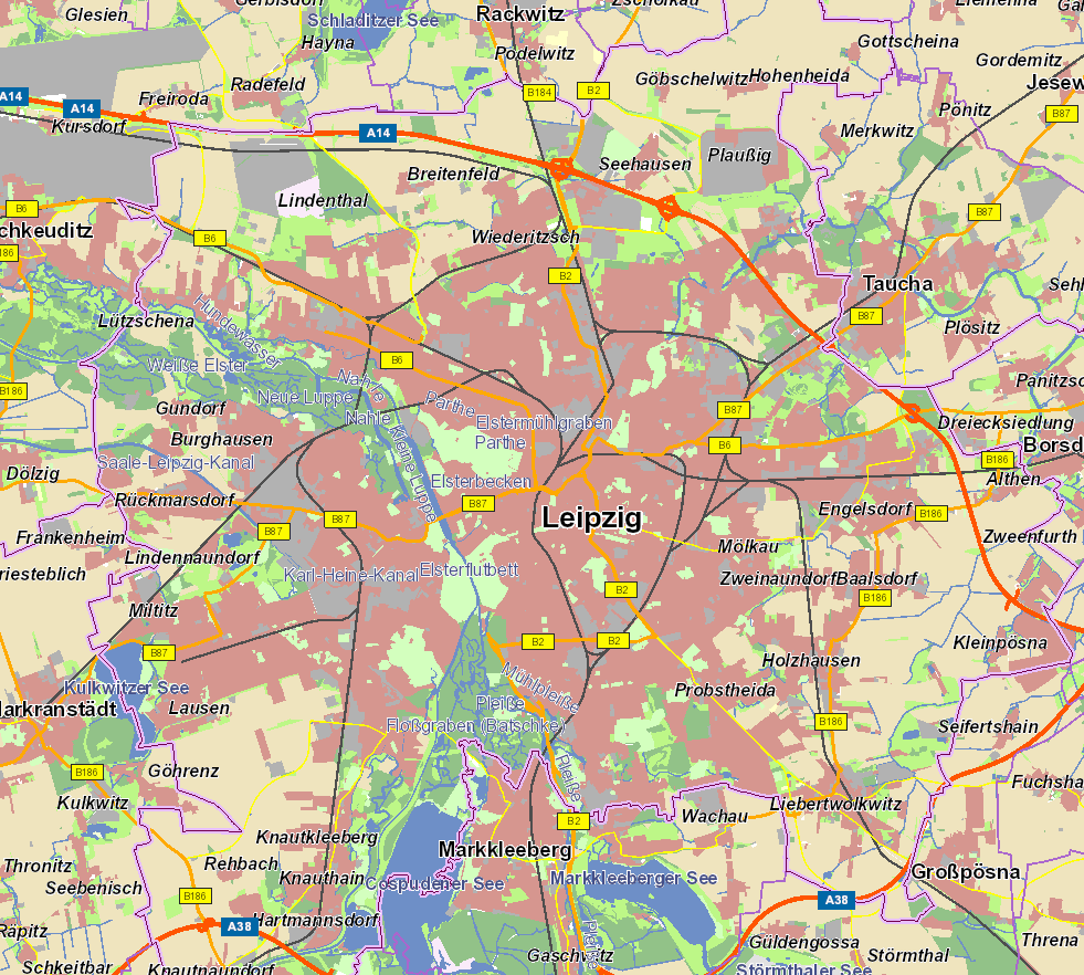
inland water
Provided by
Type of resources
Available actions
Keywords
Contact for the resource
Update frequencies
Service types
-
-

-
The file “GCOS_EHI_1960-2020_Inland_Water_Heat_Content_data.nc” presents an updated estimate of the global heat storage within natural lakes and artificial reservoirs for the period 1960-2020. Several improvements have been implemented in comparison with Vanderkelen et al. (2020): new approach to estimate lake volume, new lake models considered, and an extension of the analysis period. The data are used in von Schuckmann et al. (2022).
-
Sentinel-3 OLCI images processed with the Atmospheric Correction for Optical Water Types, A4O [Hieronymi et al. in prep & 2023], and the water algorithm OLCI Neural Network Swarm, ONNS [Hieronymi et al., 2017]. ONNS derives inherent optical properties (IOPs) from which the concentrations of water constituents are estimated. In addition, the results of an Optical Water Type (OWT) classification based on A4O reflectances are provided [Bi and Hieronymi, 2024]. All available satellite data of a day for the region of interest are merged in a common grid at approximately original resolution. Information about the variables are given in the attached Additional Info. Version 2 of the data has the license and some metadata corrected. Please use and refer only to Version 2 (see link below).
-
Satellite remote sensing enables global monitoring of water quality in freshwater and marine ecosystems. However, consistent data quality is a challenge due to variations in the performance of used algorithms for different waters. In this exemplary dataset, we use a novel approach for atmospheric correction and retrieval for water quality characteristics in inland waters, coastal areas, and the open sea. Copernicus Sentinel-3 OLCI satellite images are processed with the Atmospheric Correction for Optical Water Types, A4O [Hieronymi et al. in prep & 2023], and the water algorithm OLCI Neural Network Swarm, ONNS [Hieronymi et al., 2017]. ONNS derives inherent optical properties (IOPs) from which the concentrations of water constituents are estimated. In addition, the results of an Optical Water Type (OWT) classification based on A4O reflectances are provided [Bi and Hieronymi, 2024]. All available satellite data of a day for the region of interest are merged in a common grid at approximately original resolution. An overview of the variables in the dataset can be found in the Additional Information; a detailed description of the contents and background, as well as an optical analysis of the waters, can be found in Hieronymi et al. [2025]. Version 2 of the dataset has the license and some metadata corrected. Data itself remains unchanged.
-
-

The high-resolution digital terrain model (DTM) of the waterways Elbe and Lower Havel (DGM-W Elbe 2022) comprises both the terrain on land and the bottom of rivers, channels and lakes. It was produced and published by Germany’s Federal Institute of Hydrology (BfG), on behalf of the River Basin Community Elbe (RBC Elbe, FGG Elbe). The work was supported by the German Federal Waterways and Shipping Administration (WSV) and the surveying offices and water management administrations of six German states - Saxony, Saxony-Anhalt, Brandenburg, Lower Saxony, Mecklenburg-Vorpommern and Schleswig-Holstein. The data cover both the area around the inland water stretches of the Elbe from the Czech-German border to the village of Zollenspieker (part of the city of Hamburg) and the Lower Havel waterway from the town of Rathenow to its confluence with the Elbe. Since the dataset has a large coverage of 4,043 km², it is split into 62 sections. They were either labelled *HW in case of flood relevant areas (in German: “hochwasser-relevante Gebiete”) or *AU in case of historical floodplains (in German: “Altauengebiete”). Financing was divided according to these categories: In the HW areas, the project was co-funded by BfG, the WSV and the federal states, while in the AU areas, BfG covered all project costs. For each section we provide hillshade (*HS), height maps (*NHN), slope (*sl) and source flags (*sc). The data are available as GeoTIFF-files (resolution 1 meter); Coordinate reference frame: ETRS89.DREF91.R16; Coordinate projection: UTM Zone 33N; EPSG-Code: 25833; Height reference system: DHHN2016, national vertical reference frame in Germany (2022). For further information please contact us. Citation short: BfG et al. / i.A. FGG Elbe (2025)
-

The high-resolution digital surface model (DSM1, DOM1) of the watercourses Elbe and Lower Havel is based on the airborne laser scanning data, undertaken from 06 January 2022 to 18 March 2022 in the Elbe area and from 20 to 22 December 2021 in the Havel area. It was produced and published by Germany’s Federal Institute of Hydrology (BfG), on behalf of the River Basin Community Elbe (RBC Elbe, FGG Elbe). The work was supported by the German Federal Waterways and Shipping Administration (WSV) and the surveying offices and water management administrations of six German states - Saxony, Saxony-Anhalt, Brandenburg, Lower Saxony, Mecklenburg-Vorpommern and Schleswig-Holstein. The data cover both the area around the inland water stretches of the Elbe from the Czech-German border to the village of Zollenspieker (part of the city of Hamburg) and the Lower Havel waterway from the town of Rathenow to its confluence with the Elbe. Since the dataset has a large coverage of 4,043 km², it is split into 62 sections. They were either labelled *HW in case of flood relevant areas (in German: “hochwasser-relevante Gebiete”) or *AU in case of historical floodplains (in German: “Altauengebiete”). Financing was divided according to these categories: In the HW areas, the project was co-funded by BfG, the WSV and the federal states, while in the AU areas, BfG covered all project costs. For each section we provide hillshade (*HS) and height maps (*NHN). The data are available in a raster resolution of 1 meter in GeoTiff format; Coordinate reference frame: ETRS89.DREF91.R16; Coordinate projection: UTM Zone 33N; EPSG-Code: 25833; Height reference system: DHHN2016, national vertical reference frame in Germany (2022). For further information please contact us. Citation short: BfG et al. / i.A. FGG Elbe (2025)