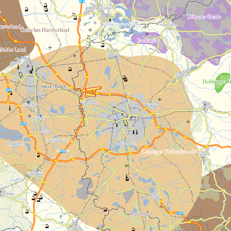
Karten und Daten rund ums Wasser Die Vielfalt der Daten und Fakten zum Thema "Wasser" erfordert einen einfachen und effizienten Informationszugang. Das GeoPortal Wasser stellt umfangreiche wasserwirtschaftliche Daten in aufbereiteter Form zur Verfügung, und richtet sich damit sowohl an die Fachleute der Kommunen, Kreise, Verbände, Ingenieurbüros und Hochschulen wie auch den interessierten Bürger. Mit dem "GeoExplorer" der Wasserwirtschaft werden Fachdaten und geografische Zusammenhänge anschaulich in individuell konfigurierbaren Themenkarten dargestellt. Über die "Kartendienste" können einzelne Karten unkompliziert in geeignete Kartenviewer und andere Webseiten integriert werden. Und schließlich bieten die spezialisierten "Auskunftssysteme" zusätzliche, detaillierte Informationen und Recherchemöglichkeiten zu besonderen Fachthemen.
The data set comprises parameters influenced by eutrophication which are recorded at measuring stations of the Federal Maritime Office and Hydrography. Parameters: Chlorophyll a, nutrient concentrations, visibility depth, macrophytes, oxygen content, oxygen saturation index and nitrogen loads from the river basin districts.
The data set comprises all MSRL-relevant parameters measured by stations of the Federal Maritime and Hydrographic Agency (BSH).
The data set comprises parameters influenced by eutrophication which are recorded at measuring stations of the Federal Maritime Office and Hydrography. Parameters: Chlorophyll a, nutrient concentrations, visibility depth, macrophytes, oxygen content, oxygen saturation index and nitrogen loads from the river basin districts.
Overview: Daily maps for global daylight length, calculated for the year 2022. Processing steps: For each day within the year 2022, the photoperiod (sunshine hours on flat terrain) are calculated using the SOLPOS algorithm developed by the National Renewable Energy Laboratory (NREL), USA. Resultant values have been converted from hours to minutes. File naming scheme (DDD = day within year) (min is abbreviation for minute): daylight_min_2022_DDD.tif Projection + EPSG code: Latitude-Longitude/WGS84 (EPSG: 4326) Spatial extent: north: 90 south: -90 west: -180 east: 180 Spatial resolution: 30 arc seconds (approx. 1000 m) Temporal resolution: Daily Pixel values: unit: minutes Software used: GDAL 3.2.2 and GRASS GIS 8.2.0 Processed by: mundialis GmbH & Co. KG, Germany (https://www.mundialis.de/) Reference: National Renewable Energy Laboratory (NREL): SOLPOS 2.0 sun position algorithm (https://www.nrel.gov/grid/solar-resource/solpos.html)
The data set comprises all MSRL-relevant parameters measured by stations of the Federal Maritime and Hydrographic Agency (BSH).